Farmers Branch in Dallas County, Texas — The American South (West South Central)
Rawhide Creek and Park
Photographed by Kayla Harper, April 19, 2020
1. Rawhide Creek and Park Marker
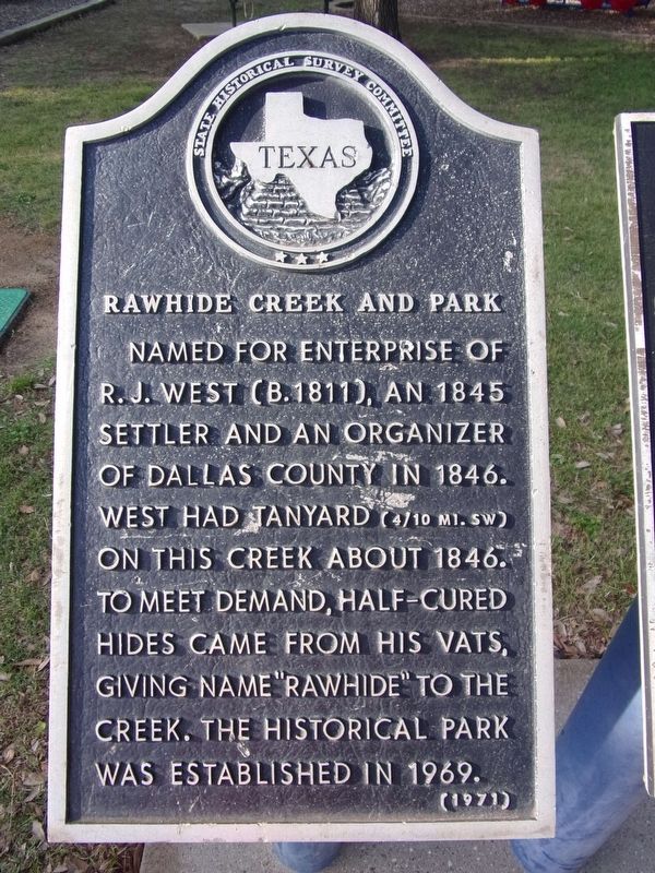
Named for enterprise of R. J. West (B. 1811), an 1845 settler and an organizer of Dallas County in 1846. West had tanyard (4/10 MI. SW) on this creek about 1846. To meet demand, half-cured hides came from his vats, giving name "Rawhide" to the creek. The historical park was established in 1969.
Erected 1971 by State Historical Survey Committee. (Marker Number 6832.)
Topics. This historical marker is listed in these topic lists: Industry & Commerce • Parks & Recreational Areas • Settlements & Settlers.
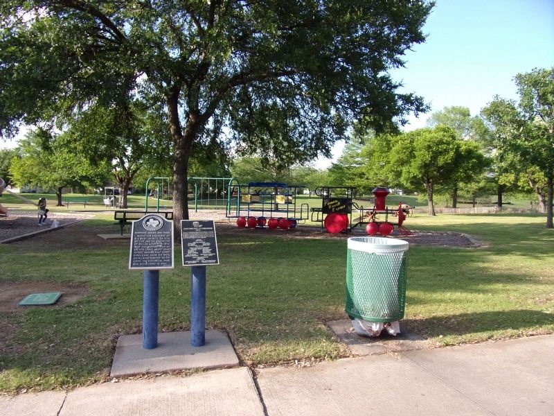
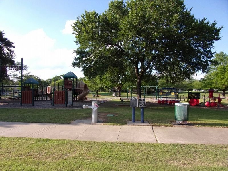
Location. 32° 55.997′ N, 96° 52.527′ W. Marker is in Farmers Branch, Texas, in Dallas County. It is on Golfing Green Drive, on the right when traveling west. The marker is at the Park directly west behind Farmers Branch Manske Library. Touch for map. Marker is in this post office area: Dallas TX 75234, United States of America. Touch for directions.

Regionally, this marker is in the Prairies & Lakes Region and in the Dallas-Fort Worth Metropolitan Area. Globally, it is in North America, a Gulf of Mexico state, the Western Hemisphere, the Western World,
this page online
Other nearby markers. At least 8 other markers are within 2 miles of this marker, measured as the crow flies: Pioneers of Mustang Branch (approx. 0.8 miles away); Marsh Cemetery (approx. 0.9 miles away); Webb Chapel Cemetery (approx. 1.1 miles away); Keenan Cemetery (approx. 1.2 miles away); David Myers (approx. 1.2 miles away); John Keenan (approx. 1.2 miles away); Texian Land and Emigration Company (approx. 1.3 miles away); First Baptist Church of Farmers Branch (approx. 1.3 miles away). Touch for a list and map of all markers in Farmers Branch.
Photographed by Kayla Harper, April 19, 2020
2. Rawhide Creek and Park Marker
Photographed by Kayla Harper, April 19, 2020
3. Rawhide Creek and Park Marker
Credits. This page was last revised on April 21, 2020. It was originally submitted on April 20, 2020, by Kayla Harper of Dallas, Texas. This page has been viewed 545 times since then and 46 times this year. Photos: 1, 2, 3. submitted on April 20, 2020, by Kayla Harper of Dallas, Texas. • J. Makali Bruton was the editor who published this page.
