Gallup in McKinley County, New Mexico — The American Mountains (Southwest)
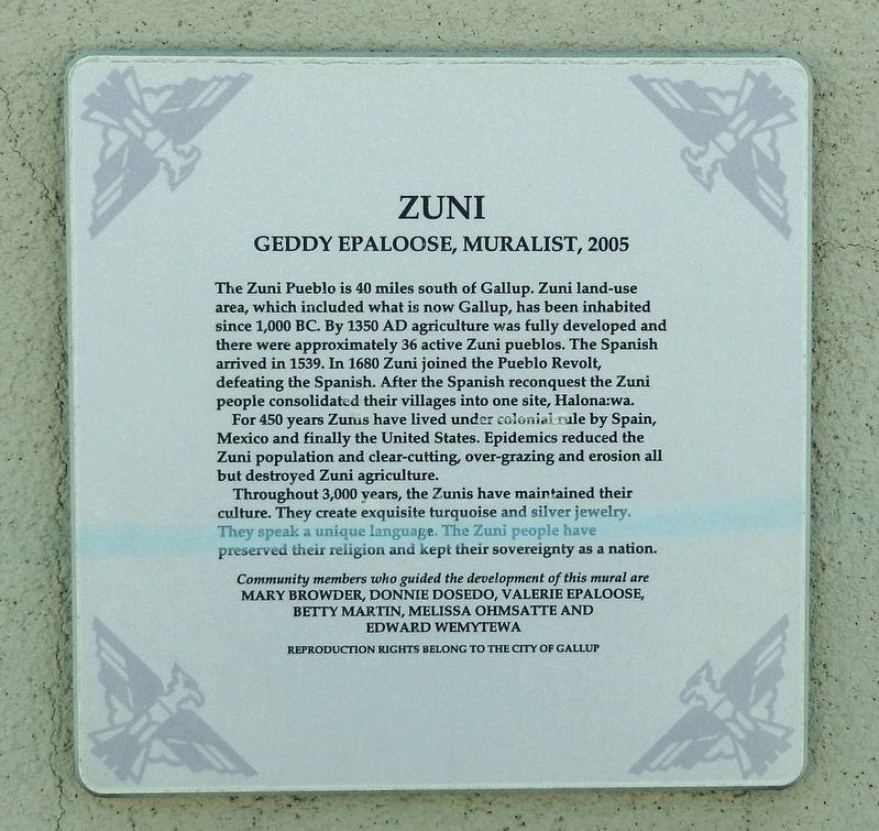
Zuni
Geddy Epaloose, Muralist, 2005
Photographed by Cosmos Mariner, May 22, 2016
1. Zuni Marker
For 450 years Zunis have lived under colonial rule by Spain, Mexico and finally the United States. Epidemics reduced the Zuni population and clear-cutting, over-grazing and erosion all but destroyed Zuni agriculture.
Throughout 3,000 years, the Zunis have maintained their culture. They create exquisite turquoise and silver jewelry. They speak a unique language. The Zuni people have preserved their religion and kept their sovereignty as a nation.
Mary Browder, Donnie Dosedo, Valerie Epaloose,
Betty Martin, Melissa Ohmsatte and Edward Wemytewa
Reproduction rights belong to the City of Gallup
Topics. This historical marker is listed in these
this page online
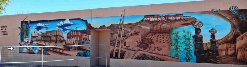
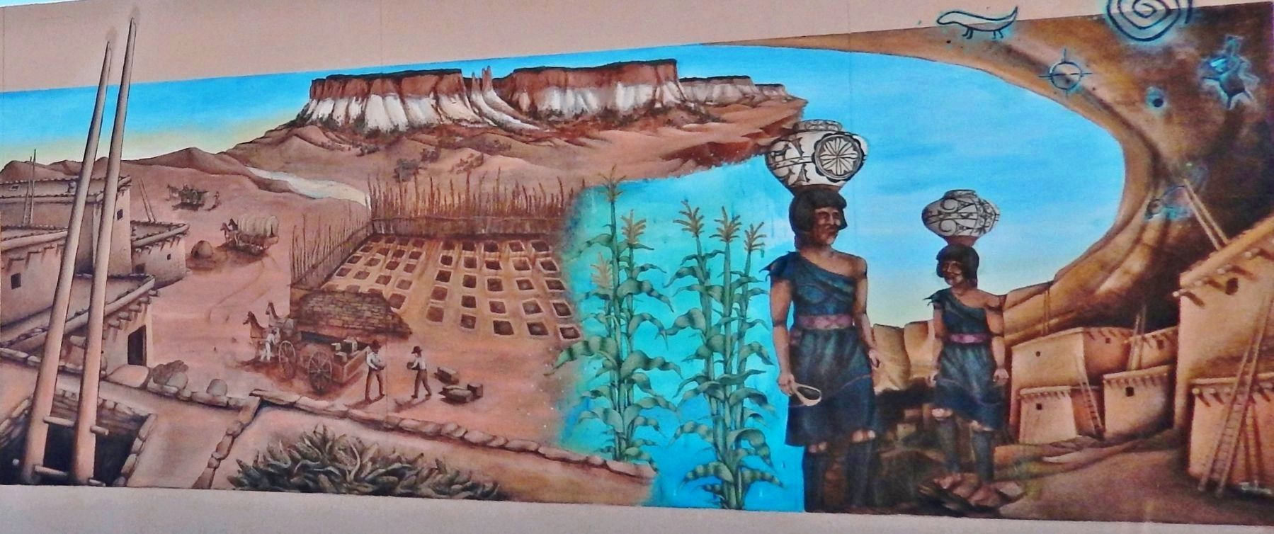
Location. 35° 31.51′ N, 108° 44.485′ W. Marker is in Gallup, New Mexico, in McKinley County. It is on South 2nd Street (New Mexico Route 610) south of West Hill Avenue, on the right when traveling north. Marker is mounted at eye-level on the west wall of the Octavia Fellin Public Library, facing West Hill Avenue. The subject mural, which covers most of the west side of the library, is just to the right of this marker. Touch for map. Marker is at or near this postal address: 115 West Hill Avenue, Gallup NM 87301, United States of America. Touch for directions.

Regionally, this marker is in New Mexico’s San Juan Basin. It is also in the American Southwest, on the Colorado Plateau, and at the Four Corners. Globally, it is in North America, the Western Hemisphere, the Western World, and the Anglosphere. Historically, it finds itself in what was once New Spain.
Other nearby markers. At least 8 other markers are within walking distance of this marker: Women's Multicultural Mural (about 500 feet away,
Photographed by Cosmos Mariner, May 22, 2016
2. Zuni Marker

Photographed by Geddy Epaloose, Muralist
3. Zuni Mural • (left side)
Photographed by Geddy Epaloose, Muralist
4. Zuni Mural • (right side)
Credits. This page was last revised on April 24, 2020. It was originally submitted on April 22, 2020, by Cosmos Mariner of Cape Canaveral, Florida. This page has been viewed 379 times since then and 28 times this year. Photos: 1, 2, 3, 4. submitted on April 24, 2020, by Cosmos Mariner of Cape Canaveral, Florida.
