Near Old Station in Lassen County, California — The American West (Pacific Coastal)
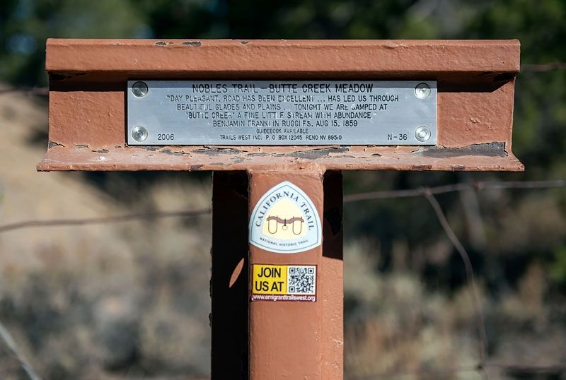
Nobles Trail - Butte Creek Meadow
Erected 2006 by Trails West Inc. (Marker Number N-36.)
Topics and series. This historical marker is listed in these topic lists: Roads & Vehicles • Settlements & Settlers. In addition, it is included in the California Trail, the Nobles Trail, and the Trails West Inc. series lists. A significant historical date for this entry is August 15, 1859.
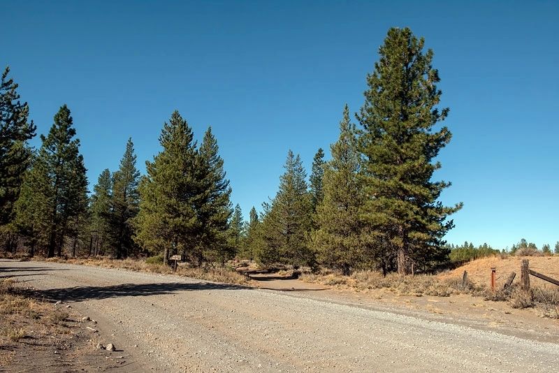
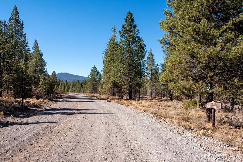
Location. 40° 38.356′ N, 121° 17.051′ W. Marker is near Old Station, California, in Lassen County. Marker is on Forest Road 32N21, half a mile south of California Route 44, on the left when traveling south. Touch for map. Marker is in this post office area: Old Station CA 96071, United States of America. Touch for directions.
Other nearby markers. At least 8 other markers are within 9 miles of this marker, measured as the crow flies. Nobles Trail - Butte Creek (approx. 3.8 miles away); Nobles Trail - Snow Capped Mountains (approx. 5.4 miles away); Nobles Trail - Poison Lake (approx. 6.2 miles away); Nobles Trail - Devil's Half Acre (approx. 7 miles away); Nobles Trail - Hat Creek Rim (approx. 7.4 miles away); Nobles Trail - Dry Valley (approx. 7.8 miles away); Old Station Post Office (approx. 8 miles away); Old Station (approx. 8.2 miles away). Touch for a list and map of all markers in Old Station.
Credits. This page was last revised on April 23, 2020. It was originally submitted on April 16, 2020, by Alvis Hendley of San Francisco, California. This page has been viewed 115 times since then and 4 times this year. Last updated on April 23, 2020, by Alvis Hendley of San Francisco, California. Photos: 1, 2, 3. submitted on April 16, 2020, by Alvis Hendley of San Francisco, California. • Syd Whittle was the editor who published this page.


