New Smyrna Beach in Volusia County, Florida — The American South (South Atlantic)
Risky Business:
The Cruger-dePester Sugar Mill
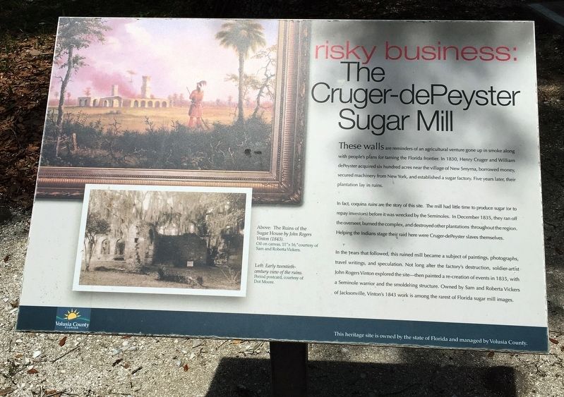
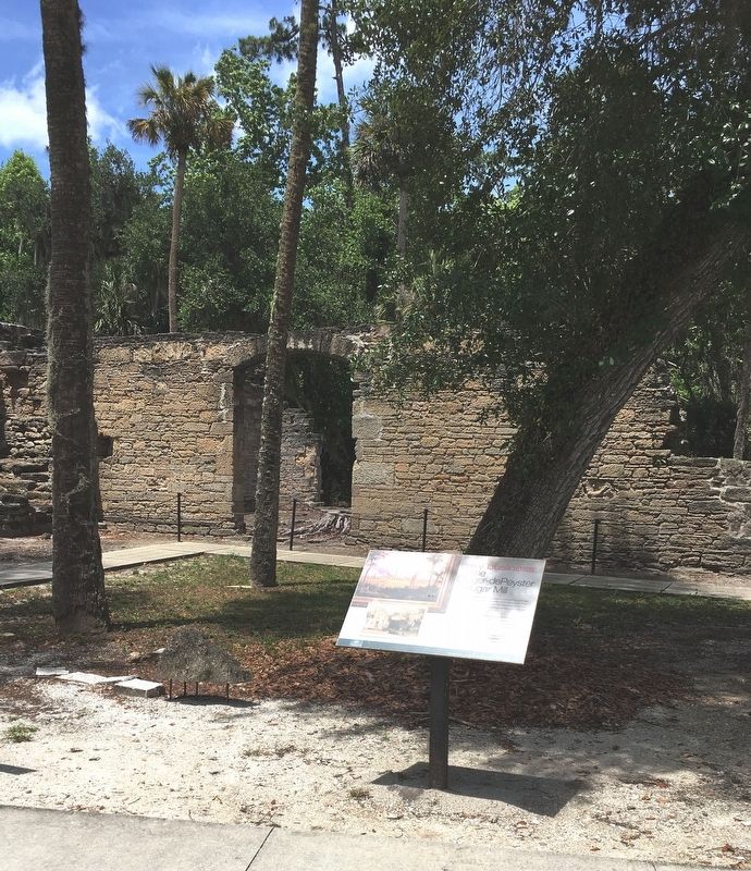
These walls are reminders of and agricultural venture gone up in smoke along with people’s plans for taming the Florida frontier. In 1830, Henry Cruger and William dePeyster acquired six hundred acres near the village of New Smyrna, borrowed money, secured machinery from New York, and established a sugar factory. Five years later, their plantation lay in ruins.
In fact, coquina ruins are the story of this site. The mill had little time to produce sugar (or to repay investors) before it was wrecked by the Seminoles. In December 1835, they ran off the overseer, burned the complex, and destroyed other plantations throughout the region. Helping the Indians stage their raid here were Cruger-dePeyster slaves themselves.
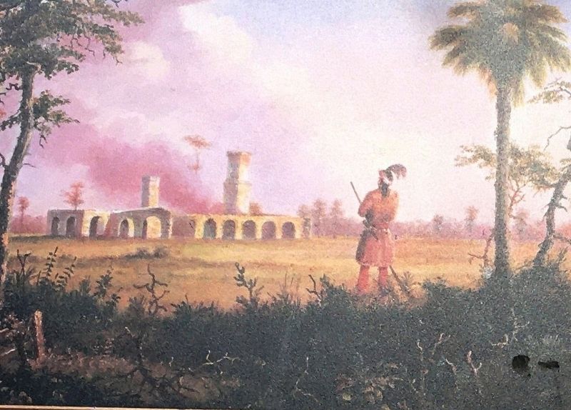
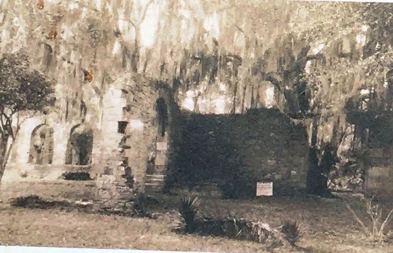
In the years that followed, this ruined mill became a subject of paintings, photographs, travel writings , and speculation. Not long after the factory’s destruction, soldier-artist John Rogers Vinton explored the site—then painted a re-creation of events in 1835, with a Seminole warrior and the smoldering structure. Owned by Sam and Roberta Vickers of Jacksonville, Vinton’s 1843 work is among the rarest of Florida sugar mill images.
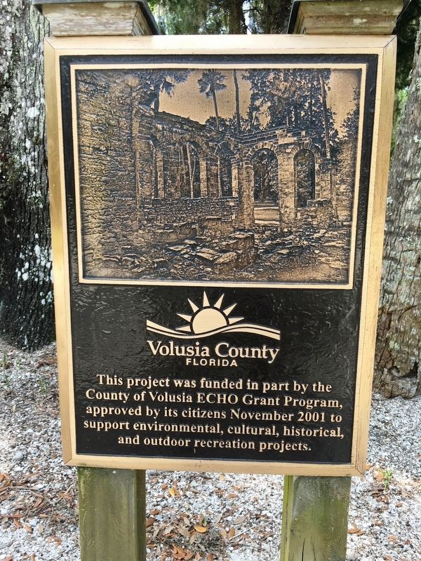
Erected by Volusia County.
Topics. This historical marker is listed in these topic lists: African Americans • Agriculture • Native Americans • Settlements & Settlers. A significant historical year for this entry is 1830.
Location. 29° 0.544′ N, 80° 56.435′ W. Marker is in New Smyrna Beach, Florida, in Volusia County. Marker can be reached from the intersection of Old Mission Road and Mission Drive, on the right when traveling south. Touch for map. Marker is at or near this postal address: 600 Mission Drive, New Smyrna Beach FL 32168, United States of America. Touch for directions.
Other nearby markers. At least 8 other markers are within 2 miles of this marker, measured as the crow flies. Native Stone (a few steps from this marker); Low-Tech Mill (a few steps from this marker); Sugar Making (a few steps from this marker); Columbus’s Chapel? (a few steps from this marker); A Stray Relic (a few steps from this marker); Turnbull Grand Canal (approx. 0.8 miles away); Old St. Rita Colored Mission Church (approx. 1.2 miles away); Site of Old Stone Wharf (approx. 1˝ miles away). Touch for a list and map of all markers in New Smyrna Beach.
Also see . . . Sugar Mill Ruins. (Submitted on April 27, 2020.)
Credits. This page was last revised on April 27, 2020. It was originally submitted on April 25, 2020, by Brandon D Cross of Flagler Beach, Florida. This page has been viewed 230 times since then and 21 times this year. Photos: 1, 2, 3, 4, 5. submitted on April 25, 2020, by Brandon D Cross of Flagler Beach, Florida. • Bernard Fisher was the editor who published this page.
