Near New Tazewell in Claiborne County, Tennessee — The American South (East South Central)
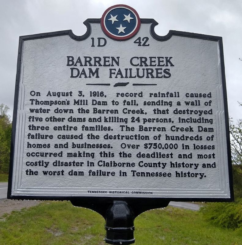
Barren Creek Dam Failures
Erected 2020 by Tennessee Historical Commission. (Marker Number 1D 42.)
Topics and series. This historical marker is listed in these topic lists: Disasters • Man-Made Features • Waterways & Vessels. In addition, it is included in the Tennessee Historical Commission series list. A significant historical date for this entry is August 3, 1916.
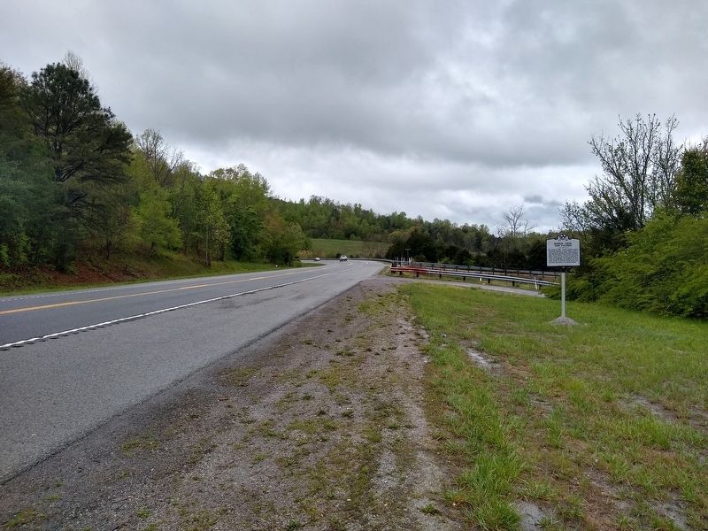
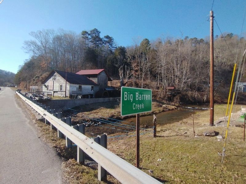
Location. 36° 24.926′ N, 83° 39.426′ W. Marker is near New Tazewell, Tennessee, in Claiborne County. Marker is at the intersection of South Broad Street (State Highway 33) and Barren Creek Road, on the right when traveling west on South Broad Street. Touch for map. Marker is at or near this postal address: 2260 South Broad Street, New Tazewell TN 37825, United States of America. Touch for directions.
Other nearby markers. At least 8 other markers are within 11 miles of this marker, measured as the crow flies. The Johnson Mill (approx. 3 miles away); Confederate Memorial (approx. 5.2 miles away); Graham – Kivett House (approx. 5˝ miles away); The Old Jail (approx. 5.6 miles away); Big Spring Church (approx. 7.4 miles away); Walker's Ford (approx. 7.4 miles away); Powell River Ferry (approx. 9 miles away); Yoakum Station (approx. 10.2 miles away).
Also see . . .
1. Big Barren Creek Flood 1916. (Submitted on April 25, 2020, by Tom Bosse of Jefferson City, Tennessee.)
2. Drownings/Big Barren Creek. (Submitted on April 25, 2020, by Tom Bosse of Jefferson City, Tennessee.)
Credits. This page was last revised on February 1, 2022. It was originally submitted on April 25, 2020, by Tom Bosse of Jefferson City, Tennessee. This page has been viewed 783 times since then and 111 times this year. Photos: 1, 2. submitted on April 25, 2020, by Tom Bosse of Jefferson City, Tennessee. 3. submitted on January 31, 2022, by Tom Bosse of Jefferson City, Tennessee. • Devry Becker Jones was the editor who published this page.


