Watrous in Mora County, New Mexico — The American Mountains (Southwest)
Watrous - Western Junction of the Santa Fe Trail
National Historic Landmark
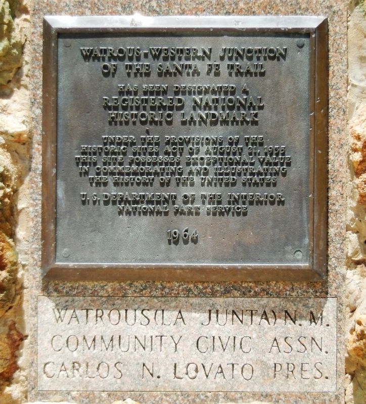
Inscription.
of the Santa Fe Trail
has been designated a
Registered National
Historic Landmark
Under the provisions of the
Historic Sites Act of August 21, 1935
this site possesses exceptional value
in commemorating and illustrating
the history of the United States
U.S. Department of the Interior
National Park Service
1964
• • •
Watrous (La Junta) N.M.
Community Civic Assn.
Carlos N. Lovato Pres.
Topics and series. This historical marker is listed in these topic lists: Industry & Commerce • Roads & Vehicles • Settlements & Settlers. In addition, it is included in the National Historic Landmarks, and the Santa Fe Trail series lists.
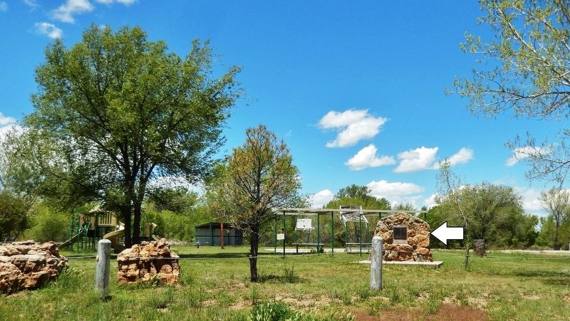
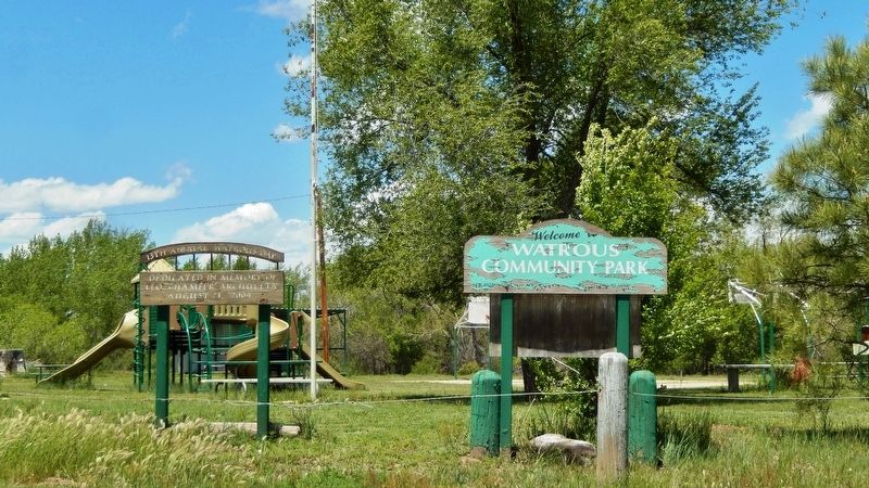
Location. 35° 47.49′ N, 104° 58.982′ W. Marker is in Watrous, New Mexico, in Mora County. Marker can be reached from 2nd Street (Briges Street) just north of Concord Street, on the left when traveling north. Marker is located in the Watrous Community Park. Touch for map. Marker is in this post office area: Watrous NM 87753, United States of America. Touch for directions.
Other nearby markers. At least 8 other markers are within 4 miles of this marker, measured as the crow flies. La Junta (approx. 0.6 miles away); Watrous (approx. 0.9 miles away); A New Community Sprouts Roots (approx. 3.2 miles away); Intersection of History (approx. 3.2 miles away); From Indigenous Trail to International Highway (approx. 3.2 miles away); A Show of Strength (approx. 3.8 miles away); Tides of Change (approx. 3.8 miles away); Lasting View (approx. 3.8 miles away). Touch for a list and map of all markers in Watrous.
Regarding Watrous - Western Junction of the Santa Fe Trail. Mountain and Cimarron Cutoff routes of the Santa Fe Trail joined here. National Register of Historic Places #66000480.
Also see . . . Watrous (La Junta) (Wikipedia). The Santa Fe Trail had two major branches: the Mountain Branch, which skirted north of the Sangre de Cristo Mountains and crossed southward at Raton Pass, and the Cimarron Cutoff, which ran a more direct route south of mountains but across desert that was also populated by hostile Native Americans. These two routes came together to the west of the confluence of the Mora and Sapello Rivers, which is just north of present-day Watrous. The Santa Fe Trail remained in use until the 1870s, when it was supplanted by Atchison,
Topeka and Santa Fe Railway, whose route roughly follows the Cimarron Cutoff route. The railroad established the present-day community of Watrous east of the trail junction, after which the small community there was largely abandoned. (Submitted on April 25, 2020, by Cosmos Mariner of Cape Canaveral, Florida.)
Credits. This page was last revised on April 25, 2020. It was originally submitted on April 25, 2020, by Cosmos Mariner of Cape Canaveral, Florida. This page has been viewed 200 times since then and 13 times this year. Photos: 1, 2, 3. submitted on April 25, 2020, by Cosmos Mariner of Cape Canaveral, Florida.


