Payson in Utah County, Utah — The American Mountains (Southwest)
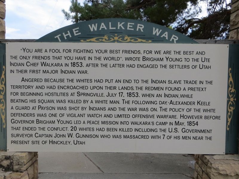
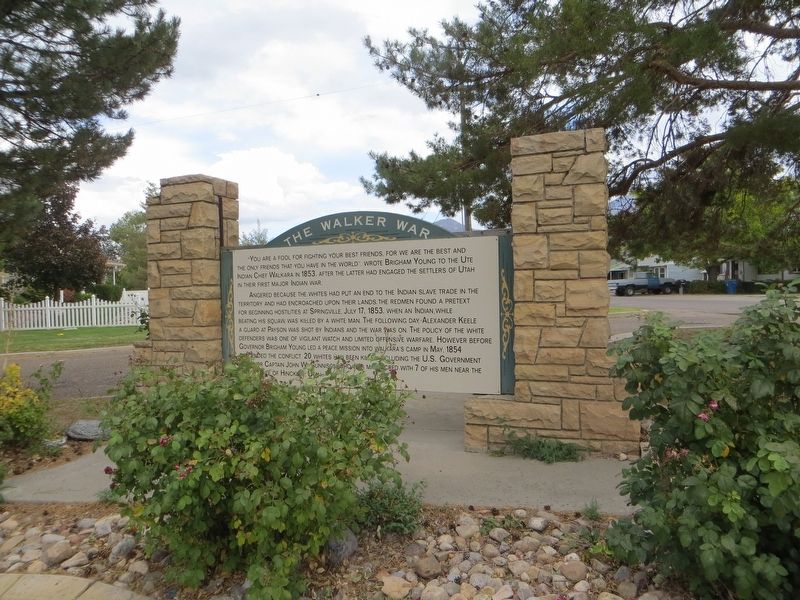
The Walker War
Angered because the whites had put an end to the Indian slave trade in the territory and had encroached upon their lands, the redmen found a pretext for beginning hostilities at Springville, July 17, 1853, when an Indian, while beating his squaw, was killed by a white man. The following day, Alexander Keele, a guard at Payson, was shot by Indians and the war was on. The policy of the white defenders was one of vigilant watch and limited offensive warfare. However before Governor Brigham Young led a peace mission into Walkara's camp in May 1854 that ended the conflict, 20 whites had been killed including the U.S. Government surveyor Captain John W. Gunnison, who was massacred with 7 of his men near the present site of Hinckley, Utah.
Topics. This historical marker is listed in this topic list: Wars, US Indian. A significant historical year for this entry is 1853.
Location. 40° 1.997′ N, 111° 44.04′ W. Marker is in Payson, Utah, in Utah County. Marker is at the intersection of South 100 West and 700 South, on the right when traveling north on South 100 West. Marker is on the southeast corner. Touch for map. Marker is in this post office area: Payson UT 84651, United States of America. Touch for directions.
Other nearby markers. At least 8 other markers are within walking distance of this marker. Dominguez y Escalante Expedition (approx. half a mile away); Payson's Pioneer Industry (approx. half a mile away); City Hall (approx. half a mile away); Payson City Library (approx. 0.7 miles away); S.W. Corner of Payson Pioneer Fort (approx. 0.7 miles away); Our Pioneers (approx. ¾ mile away); S.E. Corner of Payson Pioneer Fort (approx. ¾ mile away); Samuel Douglass House (approx. 0.9 miles away). Touch for a list and map of all markers in Payson.
Credits. This page was last revised on April 25, 2020. It was originally submitted on April 25, 2020, by Bill Kirchner of Tucson, Arizona. This page has been viewed 300 times since then and 41 times this year. Photos: 1, 2, 3. submitted on April 25, 2020, by Bill Kirchner of Tucson, Arizona.


