Touro in New Orleans in Orleans Parish, Louisiana — The American South (West South Central)
Halfway Station
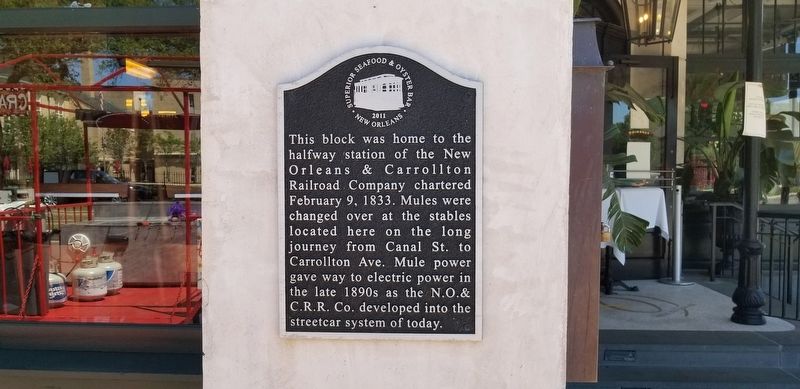
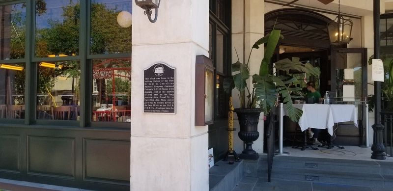
This block was home to the halfway station of the New Orleans & Carrollton Railroad Company chartered February 9, 1833. Mules were changed over at the stables located here on the long journey from Canal St. to Carrollton Ave. Mule power gave way t0 electric power in the late 1890s as the N.O. & C.R.R. Co. developed into the streetcar system of today.
Erected 2011 by Superior Seafood & Oyster Bar New Orleans.
Topics. This historical marker is listed in these topic lists: Railroads & Streetcars • Roads & Vehicles. A significant historical date for this entry is February 9, 1833.
Location. 29° 55.582′ N, 90° 6.106′ W. Marker is in New Orleans, Louisiana, in Orleans Parish. It is in Touro. Marker is at the intersection of St. Charles Avenue and Napoleon Avenue, on the right when traveling west on St. Charles Avenue. Touch for map. Marker is at or near this postal address: 4338 St Charles Avenue, New Orleans LA 70115, United States of America. Touch for directions.
Other nearby markers. At least 8 other markers are within walking distance of this marker. Faubourg Bouligny (within shouting distance of this marker); Touro Synagogue (about 400 feet away, measured in a direct line); Academy of the Sacred Heart (about 700 feet away); McDonogh No. 7 Elementary School (approx. ¼ mile away); St. Stephen Church (approx. 0.3 miles away); Rayne Memorial United Methodist Church (approx. 0.3 miles away); Salem United Church of Christ (approx. 0.3 miles away); a different marker also named Salem United Church of Christ (approx. 0.3 miles away). Touch for a list and map of all markers in New Orleans.
More about this marker. Mounted on the Superior Seafood building
Credits. This page was last revised on February 12, 2023. It was originally submitted on April 25, 2020, by Cajun Scrambler of Assumption, Louisiana. This page has been viewed 199 times since then and 13 times this year. Photos: 1, 2. submitted on April 25, 2020, by Cajun Scrambler of Assumption, Louisiana.

