Bolivar in Jefferson County, West Virginia — The American South (Appalachia)
Rats in a Cage
Harpers Ferry National Historical Park
— National Park Service, U.S. Department of the Interior —
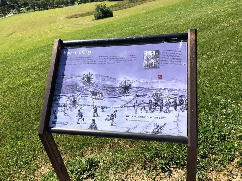
The Union army refused to give up. Frustrated by the Federals' stronghold on Bolivar Heights, "Stonewall" Jackson ordered cannons to the mountain tops and nearby plateaus. Pounded by a day and a morning of Confederate bombardment, Union soldiers felt the strain, "A general feeling of depression observable in all the men...All seem to think that we will have to surrender or be cut to pieces," wrote Union Private Louis B. Hull.
We are as helpless as rats in a cage.
Captain Edward Ripley, 9th Vermont
After counsel with his officers, Union Commander Colonel Dixon Miles ordered white flags displayed, signaling the Union surrender. While riding to tell his artillery to cease fire, Miles was hit by a Confederate shell fragment and dropped from his horse. Before his death the next day, he exclaimed, "I have done my duty. I am an old soldier and willing to die."
Erected by National Park Service, U.S. Department of the Interior.
Topics. This historical marker is listed in this topic list: War, US Civil.
Location. 39° 19.394′ N, 77° 45.662′ W. Marker is in Bolivar, West Virginia, in Jefferson County. Marker can be reached from Prospect Avenue. Located on the Bolivar Heights trail in the Harpers Ferry National Historical Park. Touch for map. Marker is at or near this postal address: 47 Spring Street, Harpers Ferry WV 25425, United States of America. Touch for directions.
Other nearby markers. At least 8 other markers are within walking distance of this marker. The First Year of War (a few steps from this marker); Closing the Doors (within shouting distance of this marker); Facing the Enemy (within shouting distance of this marker); Historic Heights (within shouting distance of this marker); Bolivar Heights Trail (within shouting distance of this marker); Harpers Ferry (within shouting distance of this marker); A Union Predicament (within shouting distance of this marker); Confederate Victory (within shouting distance of this marker). Touch for a list and map of all markers in Bolivar.
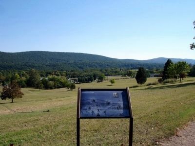
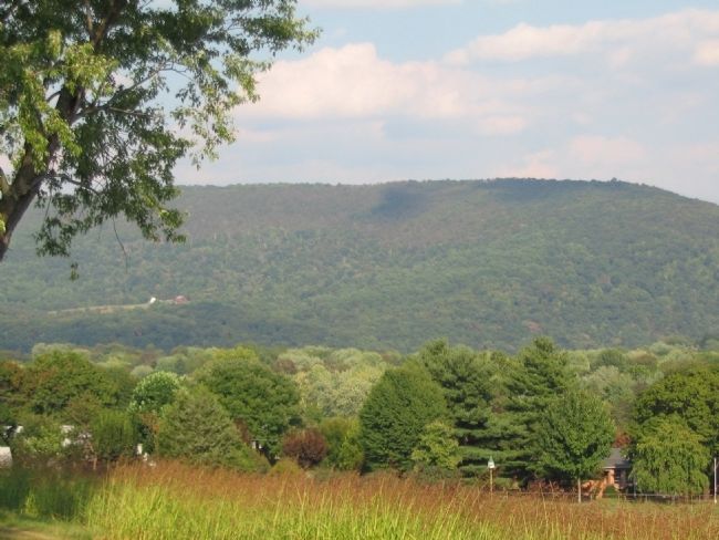
More about this marker. A drawing in the background depicts the bombardment, with indications of the location of Maryland Heights and the Chambers (Murphy) Farm. On the upper right a portrait of Col. Miles mounted on a horse is captioned, "After counsel with his officers, Union Commander Colonel Dixon Miles ordered white flags displayed, signaling the Union surrender. While riding out to tell his artillery to cease fire, Miles was hit by a Confederate shell fragment and dropped from his horse. Before his death the next day, he exclaimed, "I have done my duty. I am an old soldier and willing
to die."
Also see . . . 1862 Battle of Harpers Ferry. National Park Service summary of the battle. (Submitted on February 14, 2008, by Craig Swain of Leesburg, Virginia.)
Credits. This page was last revised on May 21, 2021. It was originally submitted on February 14, 2008, by Craig Swain of Leesburg, Virginia. This page has been viewed 1,615 times since then and 20 times this year. Last updated on April 26, 2020, by Larry Gertner of New York, New York. Photos: 1. submitted on May 21, 2021, by Devry Becker Jones of Washington, District of Columbia. 2. submitted on March 2, 2008. 3. submitted on February 14, 2008, by Craig Swain of Leesburg, Virginia. • Devry Becker Jones was the editor who published this page.


