Spring Lake in Utah County, Utah — The American Mountains (Southwest)
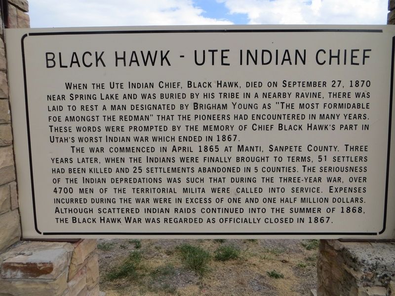
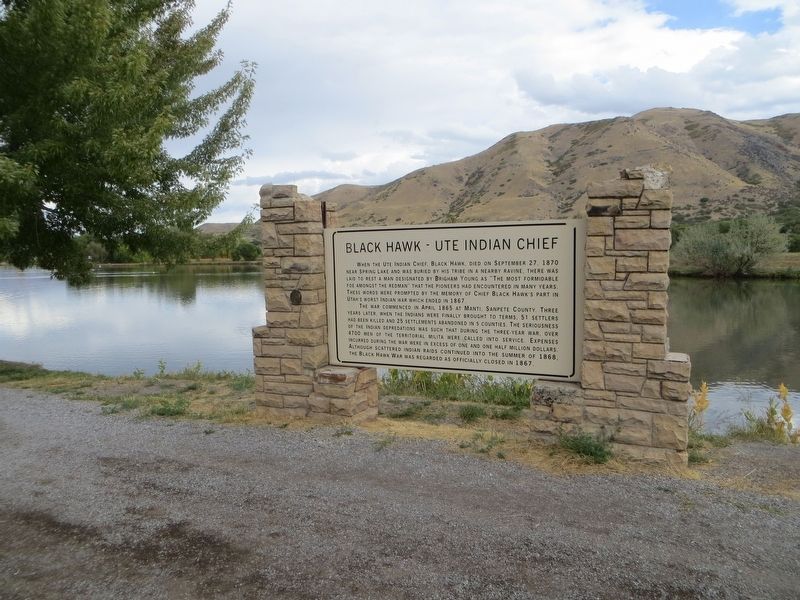
Black Hawk - Ute Indian Chief
The war commenced in April 1865 at Manti, Sanpete County. Three years later, when the Indians were finally brought to terms 51 settlers had been killed and 25 settlements abandoned in 5 counties. The seriousness of the Indian depredations was such that during the three-year war, over 4700 men of the Territorial Militia were called into service. Expenses incurred during the war were in excess of one and one half million dollars. Although scattered Indian raids continued into the summer of 1868, the Black Hawk War was regarded as officially closed in 1867.
Topics. This historical marker is listed in these topic lists: Native Americans • Wars, US Indian. A significant historical month for this entry is April 1865.
Location. 40° 0.26′ N, 111° 44.803′ W. Marker is in Spring Lake, Utah, in Utah County. Marker is at the intersection of Spring Lake Road and 12400 South, on the left when traveling south on Spring Lake Road. Touch for map. Marker is in this post office area: Payson UT 84651, United States of America. Touch for directions.
Other nearby markers. At least 8 other markers are within 3 miles of this marker, measured as the crow flies. Spring Lake Villa (approx. 0.3 miles away); The Walker War (approx. 2.1 miles away); Dominguez y Escalante Expedition (approx. 2.6 miles away); Payson's Pioneer Industry (approx. 2.6 miles away); City Hall (approx. 2.6 miles away); Our Pioneers (approx. 2.7 miles away); Payson City Library (approx. 2.8 miles away); S.W. Corner of Payson Pioneer Fort (approx. 2.8 miles away).
Credits. This page was last revised on April 26, 2020. It was originally submitted on April 26, 2020, by Bill Kirchner of Tucson, Arizona. This page has been viewed 412 times since then and 97 times this year. Photos: 1, 2, 3. submitted on April 26, 2020, by Bill Kirchner of Tucson, Arizona.


