South Memphis in Shelby County, Tennessee — The American South (East South Central)
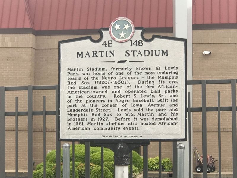
Martin Stadium
Erected by Tennessee Historical Commission. (Marker Number 4E 148.)
Topics and series. This historical marker is listed in these topic lists: African Americans • Parks & Recreational Areas • Sports. In addition, it is included in the Tennessee Historical Commission series list. A significant historical year for this entry is 1927.
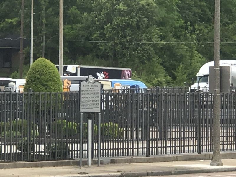
Location. 35° 7.466′ N, 90° 2.746′ W. Marker is in Memphis, Tennessee, in Shelby County. It is in South Memphis. Marker is on East E. H. Crump Boulevard just east of South Danny Thomas Boulevard (Tennessee Highway 1), on the left when traveling east. Touch for map. Marker is at or near this postal address: 494 East E H Crump Boulevard, Memphis TN 38126, United States of America. Touch for directions.
Other nearby markers. At least 8 other markers are within walking distance of this marker. Lucie Eddie Campbell (approx. ¼ mile away); Booker T. Washington High School (approx. ¼ mile away); Bishop Charles Harrison Mason (approx. 0.3 miles away); Mason Temple (approx. 0.3 miles away); First Baptist Church, Lauderdale (approx. 0.3 miles away); T. H. Hayes and Sons Funeral Home (approx. 0.3 miles away); People's Grocery (approx. half a mile away); WHER - The Nation's First All Girl Radio Station (approx. 0.6 miles away). Touch for a list and map of all markers in Memphis.
Also see . . . When Black Folks Owned Baseball Stadiums in Memphis: Dr. John B. Martin, the Martin Brothers & the N. Post from Black History Heroes blog. (Submitted on April 27, 2020, by Duane and Tracy Marsteller of Murfreesboro, Tennessee.)
Credits. This page was last revised on February 7, 2023. It was originally submitted on April 27, 2020, by Duane and Tracy Marsteller of Murfreesboro, Tennessee. This page has been viewed 844 times since then and 143 times this year. Photos: 1, 2. submitted on April 27, 2020, by Duane and Tracy Marsteller of Murfreesboro, Tennessee. • Devry Becker Jones was the editor who published this page.

