New Pathways in Memphis in Shelby County, Tennessee — The American South (East South Central)
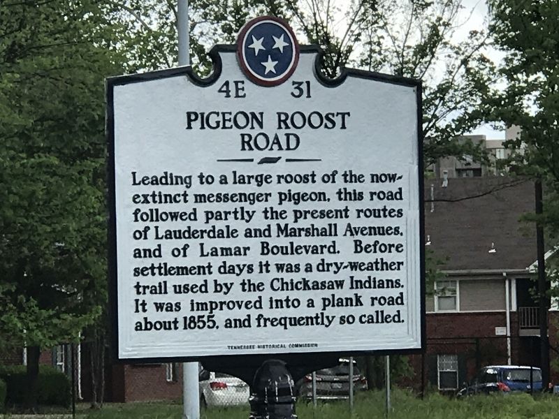
Pigeon Roost Road
Erected by Tennessee Historical Commission. (Marker Number 4E 31.)
Topics and series. This historical marker is listed in these topic lists: Animals • Communications • Native Americans • Roads & Vehicles • Settlements & Settlers. In addition, it is included in the Tennessee Historical Commission series list. A significant historical year for this entry is 1855.
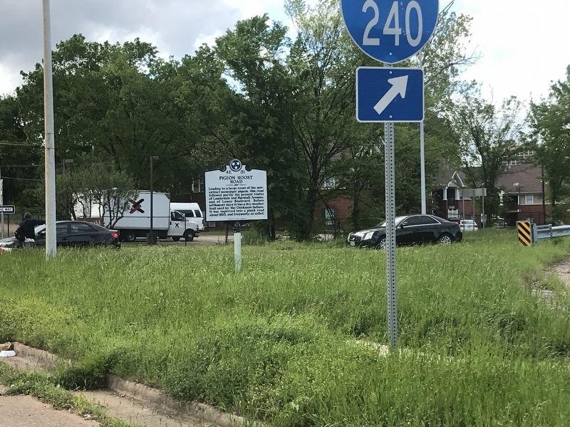
Location. 35° 7.875′ N, 90° 1.511′ W. Marker is in Memphis, Tennessee, in Shelby County. It is in New Pathways. Marker is at the intersection of Lamar Avenue (U.S. 78) and Interstate 240, on the right when traveling west on Lamar Avenue. Marker is by on-ramp from westbound Lamar Avenue to southbound Interstate 240. Touch for map. Marker is in this post office area: Memphis TN 38104, United States of America. Touch for directions.
Other nearby markers. At least 8 other markers are within walking distance of this marker. The Memphis 13/Bruce Elementary (approx. 0.2 miles away); Annesdale Park Subdivision (approx. ¼ mile away); St. John's United Methodist Church (approx. ¼ mile away); Metropolitan Inter~Faith Association (approx. 0.4 miles away); No Man's Land Memorial (approx. half a mile away); Phillips Cottage (approx. half a mile away); Elmwood Cemetery (approx. half a mile away); Confederate Soldiers Rest (approx. 0.6 miles away). Touch for a list and map of all markers in Memphis.
Credits. This page was last revised on February 7, 2023. It was originally submitted on April 28, 2020, by Duane and Tracy Marsteller of Murfreesboro, Tennessee. This page has been viewed 677 times since then and 132 times this year. Photos: 1, 2. submitted on April 28, 2020, by Duane and Tracy Marsteller of Murfreesboro, Tennessee. • Devry Becker Jones was the editor who published this page.

