Near Brian Head in Iron County, Utah — The American Mountains (Southwest)
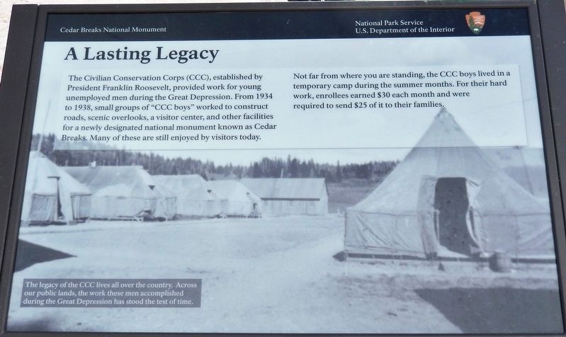
A Lasting Legacy
Civilian Conservation Corps (CCC)
| — | Cedar Breaks National Monument | — |
Photographed by Cosmos Mariner, May 27, 2016
1. A Lasting Legacy Marker
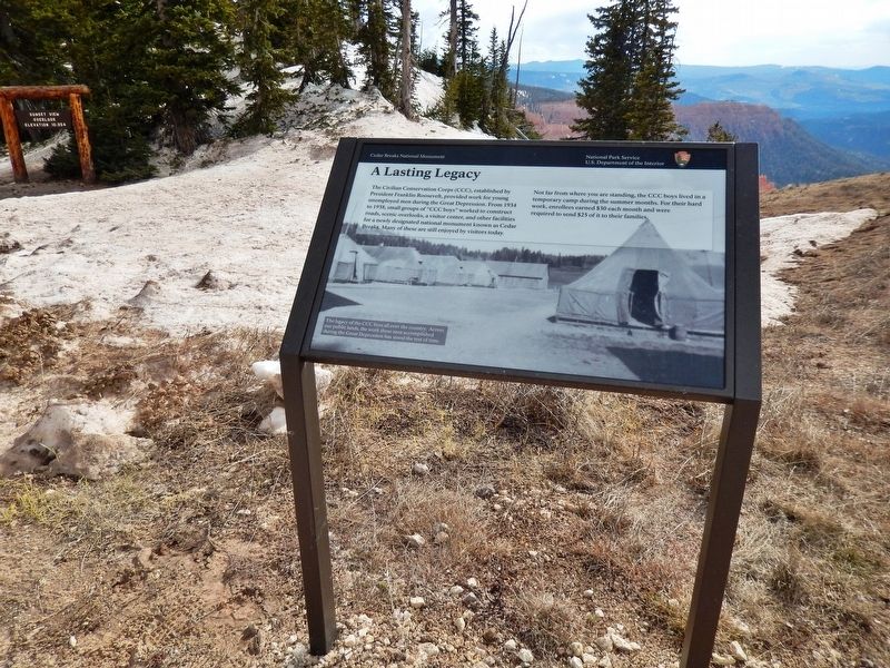
Not far from where you are standing, the CCC boys lived in a temporary camp during the summer months. For their hard work, enrollees earned $30 each month and were required to send $25 of it to their families.
The legacy of the CCC lives all over the country. Across our public lands, the work these men accomplished during the Great Depression has stood the test of time.
Erected by National Park Service, U.S. Department of the Interior.
Topics and series. This historical marker is listed in these topic lists: Charity & Public Work • Parks & Recreational Areas. In addition, it is included in the Civilian Conservation Corps (CCC), and the Former U.S. Presidents: #32 Franklin D. Roosevelt series lists. A significant historical year for this entry is 1934.
Location. 37° 37.23′ N,
this page online

Regionally, this marker is in Color Country. It is also in the American Mountain West and on the Colorado Plateau. Globally, it is in North America, the Rocky Mountains, the Western Hemisphere, the Western World, and the Anglosphere. Historically, it finds itself in what was once New Spain and also Mexico’s Alta California.
Other nearby markers. At least 8 other markers are within 14 miles of this marker, measured as the crow flies: The Lost Lodge (approx. 1.2 miles away); Listen! Can You Hear the Echoes? (approx. 2½ miles away); Ashdown Gorge Wilderness (approx. 3 miles away); Cinder Cone - Lava Flows (approx. 4½ miles away); Nathan Benson, Sr. Monument (approx. 12½ miles away); Old Spanish National Historic Trail (approx. 13.8 miles
Photographed by Cosmos Mariner, May 27, 2016
2. A Lasting Legacy Marker
Also see . . . The Civilian Conservation Corps at Cedar Breaks. Due to the high elevation, the CCC camp at Cedar Breaks was what was called a “stub camp” and therefore only occupied during the warmer months of the year. The rest of the year, CCCers worked in other camps at lower elevations, in places like Zion National Park. But even then, the weather at Cedar Breaks wasn’t always ideal for working, as member of CCC camp #1966, Henry A Bott Jr. put it: “We got hailed on and we got snowed on, but we had a lot of fun doing the job.” (Submitted on April 30, 2020, by Cosmos Mariner of Cape Canaveral, Florida.)
Photographed by Cosmos Mariner, May 27, 2016
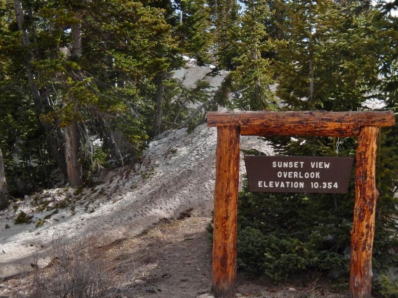
3. Sunset View Overlook • Cedar Breaks National Monument
Photographed by Cosmos Mariner, May 27, 2016
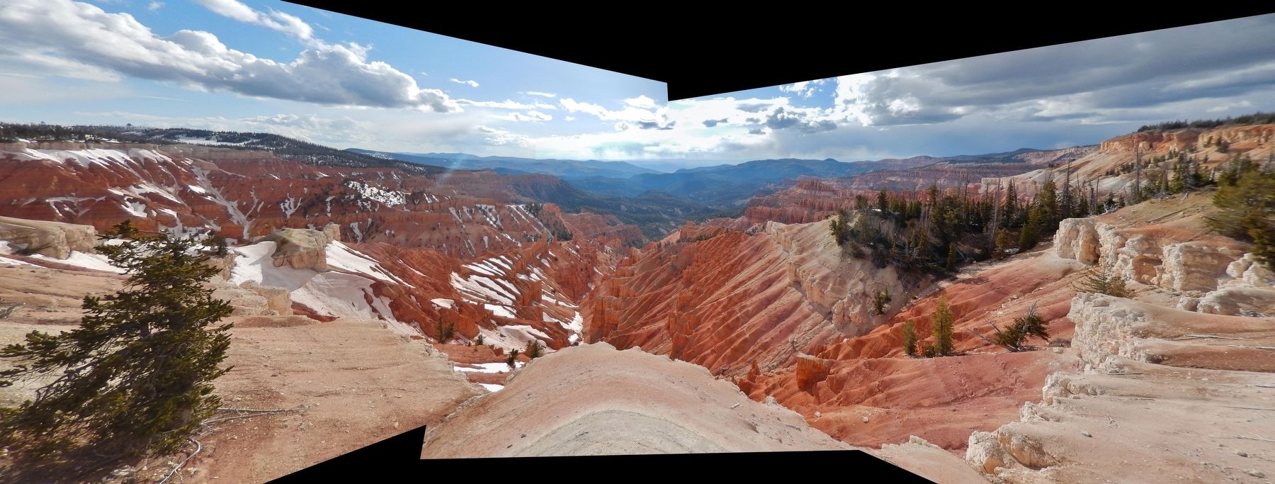
4. Sunset View Overlook Panorama • Cedar Breaks National Monument
Credits. This page was last revised on April 30, 2020. It was originally submitted on April 30, 2020, by Cosmos Mariner of Cape Canaveral, Florida. This page has been viewed 260 times since then and 25 times this year. Photos: 1, 2, 3, 4. submitted on April 30, 2020, by Cosmos Mariner of Cape Canaveral, Florida.
