Near Nevada City in Nevada County, California — The American West (Pacific Coastal)
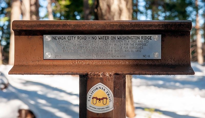
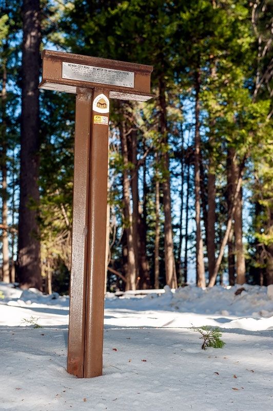
Nevada City Road - No Water on Washington Ridge
Inscription.
"We camped in the woods and chained our oxen to a tree and fed them a little hay that we got in [Bear] Valley for the purpose; we had no water for them, but got a little for ourselves by going a mile for it." William B. Baker, Aug 31, 1852
Erected 2013 by Trails West Inc. (Marker Number NC-6.)
Topics and series. This historical marker is listed in these topic lists: Roads & Vehicles • Settlements & Settlers. In addition, it is included in the California Trail, and the Trails West Inc. series lists. A significant historical date for this entry is August 31, 1852.
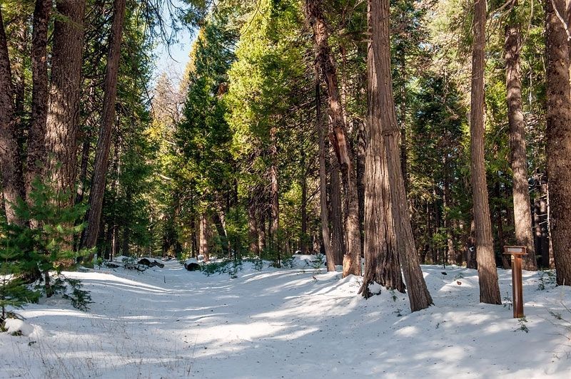
Location. 39° 19.37′ N, 120° 51.924′ W. Marker is near Nevada City, California, in Nevada County. Marker is at the intersection of California Route 20 and Ridgewood Road, on the left when traveling east on State Route 20. Marker is about 300 feet west of the intersection of State Route 20 and Ridgewood Road. Touch for map. Marker is in this post office area: Nevada City CA 95959, United States of America. Touch for directions.
Other nearby markers. At least 8 other markers are within 4 miles of this marker, measured as the crow flies. Nevada City Road - Leaving Washington Ridge (approx. 2.6 miles away); The History of This Area (approx. 2.7 miles away); Emigrant Trail to Nevada City (approx. 2.8 miles away); Julius Albert Apperson (approx. 2.8 miles away); Giant (approx. 3.6 miles away); Malakoff Diggins Clampicnic Area (approx. 3.6 miles away); St. Columncille's Church (approx. 3.7 miles away); Humbug Creek (approx. 3.7 miles away). Touch for a list and map of all markers in Nevada City.
Credits. This page was last revised on April 30, 2020. It was originally submitted on April 30, 2020, by Alvis Hendley of San Francisco, California. This page has been viewed 134 times since then and 12 times this year. Photos: 1, 2, 3, 4. submitted on April 30, 2020, by Alvis Hendley of San Francisco, California. • Syd Whittle was the editor who published this page.


