Death Valley National Park in Inyo County, California — The American West (Pacific Coastal)
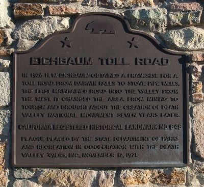
Eichbaum Toll Road
Erected 1971 by California Department of Parks and Recreation and the Death Valley '49ers, Inc. (Marker Number 848.)
Topics and series. This historical marker is listed in this topic list: Roads & Vehicles. In addition, it is included in the California Historical Landmarks series list. A significant historical year for this entry is 1926.
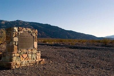
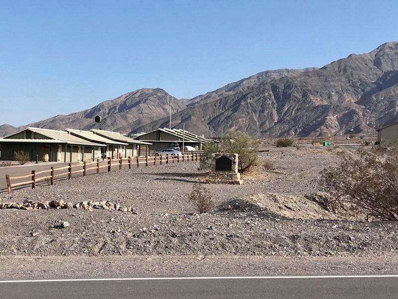
Location. 36° 36.352′ N, 117° 8.838′ W. Marker is in Death Valley National Park, California, in Inyo County. Marker is at the intersection of California Route 190 and Cottonwood Canyon Road, on the right when traveling east on State Route 190. Marker is located just west of Stovepipe Wells Village. Touch for map. Marker is in this post office area: Death Valley CA 92328, United States of America. Touch for directions.
Other nearby markers. At least 8 other markers are within 12 miles of this marker, measured as the crow flies. Road To Adventure (about 300 feet away, measured in a direct line); Burned Wagons Point (about 500 feet away); Death Valley’s First Tourist Resort (approx. 0.2 miles away); Devil’s Cornfield (approx. 4.3 miles away); Old Stovepipe Wells (approx. 5.3 miles away); An Architectural Heritage (approx. 8.7 miles away); Skidoo Mill (approx. 11.7 miles away); Skidoo (approx. 11.9 miles away). Touch for a list and map of all markers in Death Valley National Park.
Credits. This page was last revised on August 20, 2023. It was originally submitted on May 12, 2016, by Alvis Hendley of San Francisco, California. This page has been viewed 389 times since then and 22 times this year. Last updated on May 1, 2020, by Craig Baker of Sylmar, California. Photos: 1, 2. submitted on May 12, 2016, by Alvis Hendley of San Francisco, California. 3. submitted on October 28, 2020, by Craig Baker of Sylmar, California. • Syd Whittle was the editor who published this page.


