
Near San Marcos in Hays County, Texas — The American South (West South Central)
Cheatham-Hohenberg Cemetery
Photographed by Larry D. Moore, May 1, 2020
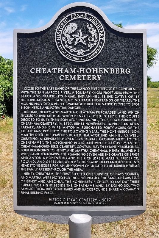
1. Cheatham-Hohenberg Cemetery Marker
In 1848, Henry and Martha Cheatham purchased land which included Indian Hill. When Henry Jr. died in 1871, the couple decided to bury their son atop Indian Hill, thus establishing the Cheatham Cemetery. In 1897, Ernst Hohenberg, a prussian-born farmer, and his wife, Antonia, purchased forty acres of the Cheathams' property. The following year, the Hohenbergs' son Martin died. His parents buried him atop Indian Hill as well, creating a separate Hohenberg burial ground next to the Cheathams. The adjoining plots, known collectively as the Cheatham-Hohenberg Cemetery, contain eleven extant headstones, four belonging to Henry and Martha Cheatham, Henry Jr. and his wife, Sallie Lena Davis. The remaining seven are the graves of Ernst and Antonia Hohenberg and their children, Martin, Frederick, Roland, and Gertrude with her husband, Harland Beidler. No headstone exists for an unknown child said to be buried here as the family passed through the area.
Henry Cheatham, the first elected chief justice of Hays County, and Martha were noted for their hospitality. The same appears true of Ernst and Antonia. The Hohenbergs chose to lay out their burial plot right beside the Cheathams and, by doing so, two families from different times and backgrounds share a common final resting place.
Erected 2017 by Texas Historical Commission. (Marker Number 18897.)
Topics. This historical marker is listed in this topic list: Cemeteries & Burial Sites. A significant historical year for this entry is 1848.
Location. 29° 52.259′ N,
this page online

Regionally, this marker is in the Hill Country and in the Austin Metropolitan Area. It is also in the American South. Globally, it is in North America, a Gulf of Mexico state, the Western Hemisphere, the Western World, and the Anglosphere. Historically, it finds itself in what was once New Spain, the Republic of Texas, one of the Confederate States of America, and the Antebellum South.
Other nearby markers. At least 8 other markers are within 2 miles of this marker, measured as the crow flies: McGehee Crossing (here, next to this marker); Col. Ignacio Elizondo’s 1813 Campaign (approx. 0.8 miles away); Charles Lewis McGehee Cabin (approx. 1.1 miles away); Site of the First Town of San Marcos (approx. 1.1 miles away); Don Felipe Roque de la Portilla (approx. 1.1 miles away);
Photographed by Larry D. Moore, May 1, 2020
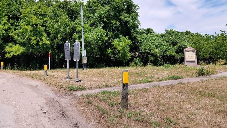
2. Cheatham-Hohenberg Cemetery Historical Marker
Another marker is no longer nearby. Gen. Antonio Gaona’s 1836 Campaign (was approx. 1.9 miles away but has been confirmed missing).
Photographed by Richard Hawkins, November 8, 2025
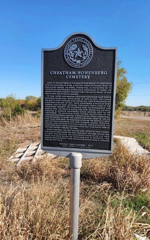
3. Cheatham-Hohenberg Cemetery Marker

Photographed by Richard Hawkins, November 8, 2025
4. Nearby Old Spanish Trail Marker
Credits. This page was last revised on November 8, 2025. It was originally submitted on May 1, 2020, by Larry D. Moore of Del Valle, Texas. This page has been viewed 1,245 times since then and 42 times this year. Photos: 1, 2. submitted on May 1, 2020, by Larry D. Moore of Del Valle, Texas. 3, 4. submitted on November 8, 2025, by Richard Hawkins of Phelan, California.
