Havre de Grace in Harford County, Maryland — The American Northeast (Mid-Atlantic)
The Lock House
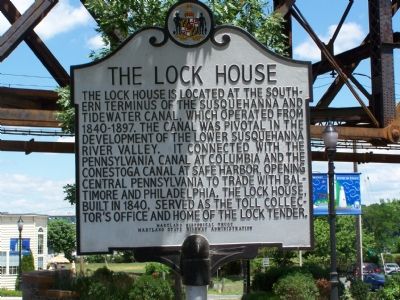
Photographed by Beverly Pfingsten, July 1, 2007
1. The Lock House Marker
Erected 2002 by Maryland Historical Trust & Maryland State Highway Administration.
Topics and series. This historical marker is listed in these topic lists: Industry & Commerce • Landmarks • Waterways & Vessels. In addition, it is included in the Maryland Historical Trust, and the Susquehanna and Tidewater Canal series lists. A significant historical year for this entry is 1840.
Location. 39° 33.362′ N, 76° 5.648′ W. Marker is in Havre de Grace, Maryland, in Harford County. It is at the intersection of Conesteo Street on Conesteo Street. Touch for map. Marker is in this post office area: Havre de Grace MD 21078, United States of America. Touch for directions.

Regionally,
this page online
Other nearby markers. At least 8 other markers are within walking distance of this marker: The Lafayette Trail (a few steps from this marker); This Wye Oak (within shouting distance of this marker); a different marker also named This Wye Oak (within shouting distance of this marker); a different marker also named The Susquehanna and Tidewater Canal (within shouting distance of this marker); How A Lock Works (about 300 feet away, measured in a direct line); You Are Standing On A Pivot (Or Swing) Bridge (about 300 feet away); Susquehanna River Crossing (approx. 0.3 miles away); Harford County - Related U.S.C.T. Civil War Soldiers (approx. 0.3 miles away). Touch for a list and map of all markers in Havre de Grace.
Other
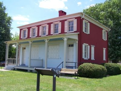
Photographed by Beverly Pfingsten, July 1, 2007
2. Canal Side of Lock House
Also see . . . Susquehanna Museum web site. (Submitted on July 1, 2007, by Bill Pfingsten of Bel Air, Maryland.)
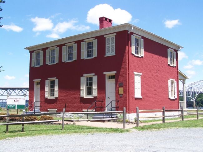
Photographed by Beverly Pfingsten, July 1, 2007
3. Back of Lock House
Building is now a museum containing history of the canal and of Havre de Grace
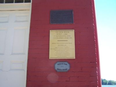
Photographed by William Pfingsten, July 12, 2007
4. Plaques at entrance to Lock House
Credits. This page was last revised on December 28, 2024. It was originally submitted on July 1, 2007, by Bill Pfingsten of Bel Air, Maryland. This page has been viewed 2,737 times since then and 34 times this year. Photos: 1, 2, 3. submitted on July 1, 2007, by Bill Pfingsten of Bel Air, Maryland. 4. submitted on July 12, 2007, by Bill Pfingsten of Bel Air, Maryland. • J. J. Prats was the editor who published this page.
