Mt. Vernon in Mobile County, Alabama — The American South (East South Central)
Mount Vernon Arsenal
— Mount Vernon History Trail —
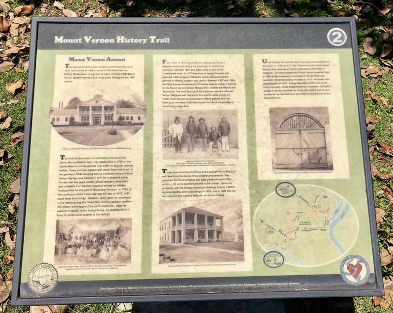
The first of these posts, Fort Stoddert (Point 6 on the Mount Vernon History Trail), was established in 1799 on the Mobile River to control and tax river traffic to Spanish colonial Mobile. Every summer malaria and yellow fever took a toll on the garrison of that low-lying fort, so a nearby hilltop at Mount Vernon Springs was cleared in 1811 for a seasonal camp. For the next few years healthy Mount Vernon Cantonment and unhealthy Fort Stoddert together served as military headquarters for this part of Mississippi Territory. In 1815, at the conclusion of the Creek War and the War of 1812, both posts were abandoned. However, years after his campaigns in the region during the Creek War, Andrew Jackson recalled the military advantages of the cantonment site. Once he became President of the United States, he directed the U.S. Army to construct an arsenal at the springs.
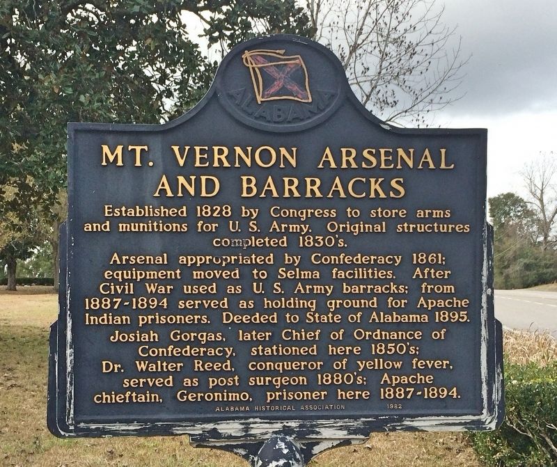
From 1830 to 1870 Mount Vernon Arsenal served as a weapons depot and factory for production of small arms munitions, between 1861 and 1865 under control of the Confederate Army. In 1873 the Army re-tasked the post and renamed it Mount Vernon Barracks, which had a permanent garrison of infantry, artillery, and cavalry. Between 1887 and 1894, the Army housed hundreds of Chiricahua Apache Indian prisoners on the Mount Vernon Military Reservation, outside the walls of the old arsenal. The most famous of the Apaches interned at Mount Vernon Barracks was Geronimo. During this same period, Dr. Walter Reed served as post surgeon before gaining fame for leading a commission that determined the role of mosquitoes in transmitting yellow fever.
Today nine standing structures and a partially encircling brick wall date from the period of the arsenal and barracks; they comprise the most complete and best-preserved early 19th-century U.S. Army arsenal complex in the country. Historical architects with the Historic American Buildings Survey (HABS) documented the arsenal buildings in 1935, and in 1988 the site was listed on the National Register of Historic Places.
Unfortunately the arsenal site is not presently accessible to the public. In 1895 the U.S. War Department decommissioned the post and gave Mount Vernon Barracks to the State of Alabama. The state established Mount Vernon Hospital there in 1902 for the treatment of mentally ill African-American residents. Renamed Searcy Hospital in 1919, the facility was desegregated in 1969. Searcy Hospital
remains one of the
most important mental health facilities in Alabama, and public
access is strictly controlled to insure the welfare and privacy
of patients. No admittance is permitted for touring the historic
site at this time.
Captions:
[Top left] Arsenal Administration Building (Courtesy of the Historic American Building Survey)
[Bottom left] Apaches at their village at Mount Vernon Barracks (Courtesy of the Alabama Department of Archives and History, Montgomery, Alabama)
[Top middle] Apaches at Mount Vernon Barracks; left to right: Chihuahua, Nachez, Loco, Nano and Geronimo (Courtesy of the Alabama Department of Archives and History, Montgomery, Alabama)
[Bottom middle] Arsenal Officers' Quarters (Courtesy of the Historic American Buildings Survey)
[Top right] Arsenal South Gate (Courtesy of the Historic American Building Survey)
Erected by Town of Mount Vernon. (Marker Number 2.)
Topics. This historical marker is listed in these topic lists: African Americans • Forts and Castles • Native Americans • Science & Medicine. A significant historical year for this entry is 1873.
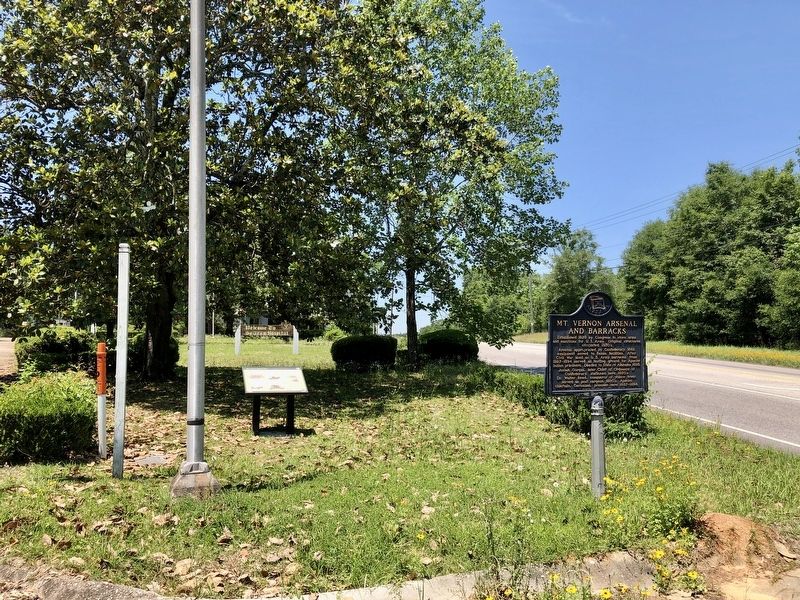
Location. 31° 5.288′ N, 88° 1.454′ W. Marker is in Mt. Vernon, Alabama, in Mobile County. Marker is at the intersection of Superintendents Drive and Coy Smith Highway (Alabama Route 96), on the right when traveling west on Superintendents Drive. Touch for map. Marker is in this post office area: Mount Vernon AL 36560, United States of America. Touch for directions.
Other nearby markers. At least 8 other markers are within 4 miles of this marker, measured as the crow flies. Mt. Vernon Arsenal and Barracks/Searcy Hospital (here, next to this marker); Mt. Vernon Federal Highway (approx. half a mile away); Fort Stoddert (approx. half a mile away); Mount Vernon Historical Museum and Train Depot (approx. 0.6 miles away); Old Military Road and Old Federal Road (approx. 1.8 miles away); Ephraim Kirby's Grave (approx. 2˝ miles away); a different marker also named Fort Stoddert (approx. 2˝ miles away); St. Peter the Apostle Catholic Church (approx. 3˝ miles away). Touch for a list and map of all markers in Mt. Vernon.
Also see . . .
1. Wikipedia article on the Mount Vernon Arsenal. (Submitted on May 3, 2020, by Mark Hilton of Montgomery, Alabama.)
2. Fortwiki photos of the Mount Vernon Arsenal. (Submitted on May 3, 2020, by Mark Hilton of Montgomery, Alabama.)

Photographed By Mark Hilton, May 2, 2020
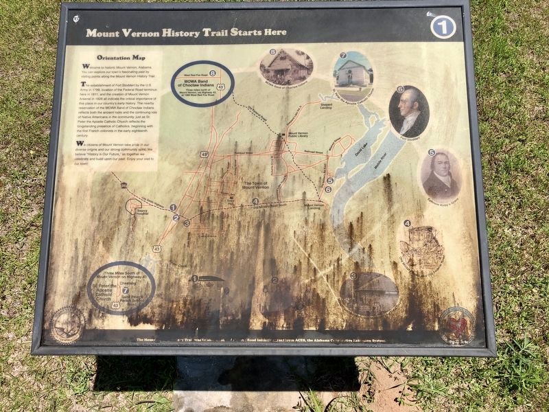
4. Orientation Map of the Mt Vernon History Trail (#2 center bottom)
The location of this marker is incorrectly reflected on the orientation map.
Map (marker) is located at intersection of US-43 and Coy Smith Hwy. Marker has not weathered well. Attempts to clean it were not successful.
Credits. This page was last revised on August 8, 2022. It was originally submitted on May 3, 2020, by Mark Hilton of Montgomery, Alabama. This page has been viewed 485 times since then and 62 times this year. Photos: 1, 2, 3, 4. submitted on May 3, 2020, by Mark Hilton of Montgomery, Alabama.


