Near Fredonia in Mohave County, Arizona — The American Mountains (Southwest)
Boulders to Building Blocks
— Pipe Spring National Monument —
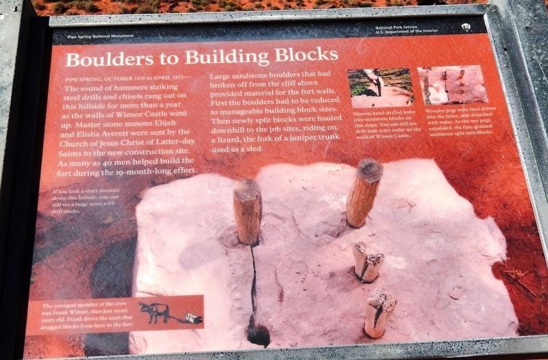
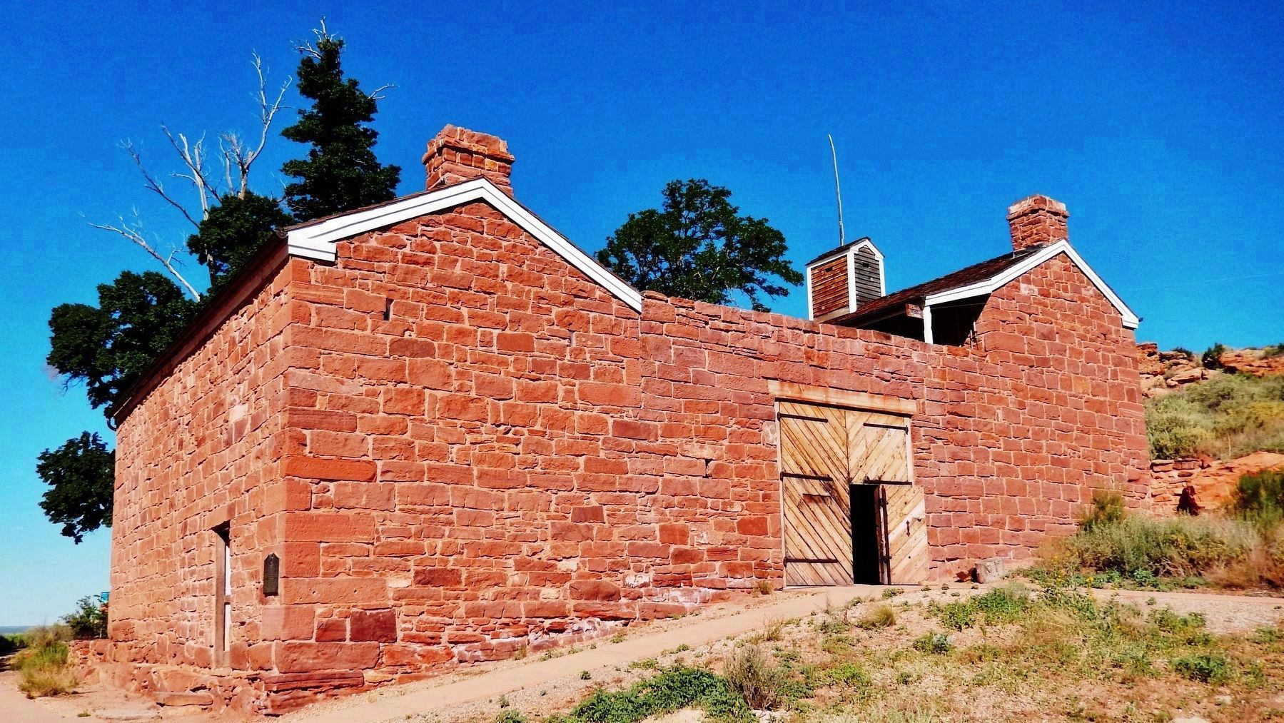
The sound of hammers striking steel drills and chisels rang out on this hillside for more than a year as the walls of Winsor Castle went up. Master stone masons Elijah and Elisha Averett were sent by the Church of Jesus Christ of Latter-day Saints to the new construction site. As many as 40 men helped build the fort during the 19-month-long effort.
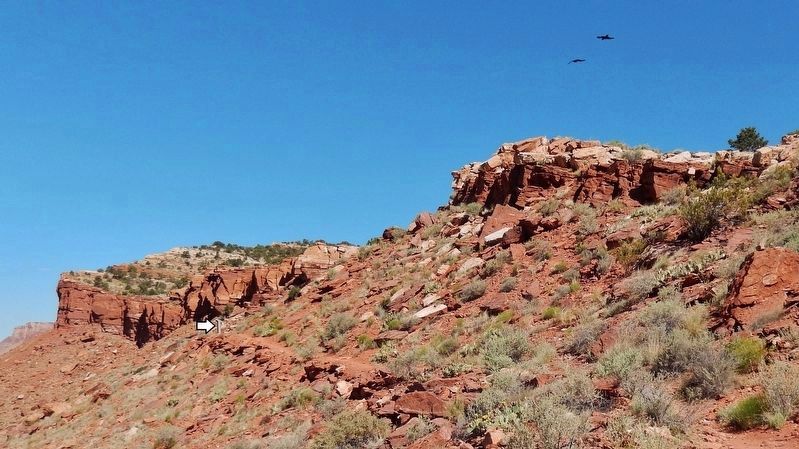
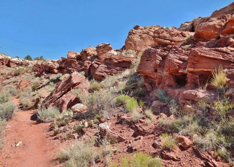
Large sandstone boulders that had broken off from the cliff above provided material for the fort walls. First the boulders had to be reduced to manageable building block sizes. Then newly split blocks were hauled downhill to the job sites, riding on a lizard, the fork of a juniper trunk used as a sled.
If you look a short distance down this hillside, you can still see a large stone with drill marks.
The youngest member of the crew was Frank Winsor, then just seven years old. Frank drove the oxen that dragged blocks from here to the fort.
Erected by National Park Service, U.S. Department of the Interior.
Topics. This historical marker is listed in these topic lists: Churches & Religion • Forts and Castles • Settlements & Settlers. A significant historical month for this entry is October 1870.
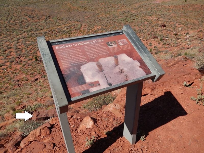
Location. 36° 51.825′ N, 112° 44.477′ W. Marker is near Fredonia, Arizona, in Mohave County. Marker can be reached from North Pipe Spring Road, 0.3 miles north of Arizona Route 389, on the left when traveling north. Marker is located along the Ridge Trail in Pipe Spring National Monument. Touch for map. Marker is at or near this postal address: 406 North Pipe Spring Road, Fredonia AZ 86022, United States of America. Touch for directions.
Other nearby markers. At least 8 other markers are within walking distance of this marker. Tup' (within shouting distance of this marker); Plateau Country Trees (within shouting distance of this marker); Remnants of a Frozen Sahara (within shouting distance of this marker); Boundaries and Fencing (about 300 feet away, measured in a direct line); How Can 10 Million Gallons of Water a Year Suddenly Appear in a Stony Desert? (about 300 feet away); Cut Off By The Grand Canyon (about 300 feet away); Oos'eev (about 300 feet away); Kwi'-uv (about 300 feet away). Touch for a list and map of all markers in Fredonia.
Related markers. Click here for a list of markers that are related to this marker. Pipe Spring National Monument
Also see . . .
1. Panorama of Winsor Castle. In 1870, the Church of Jesus Christ of Latter-Day Saints (the Mormons) began construction of a fortified ranch house at Pipe Spring. The ranch house/fort was designed as both headquarters for a tithing cattle ranch and as protection from attacks. The Mormon settlers did not particularly
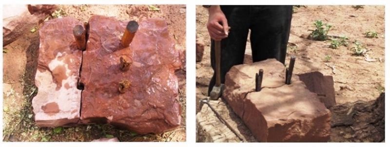
2. Marker detail: Splitting Rocks by Hand
Masons hand-drilled holes into sandstone blocks on this slope. You can still see drill-hole scars today on the walls of Winsor Castle. Wooden pegs were then driven into the holes, and drenched with water. As the wet pegs expanded, the fine-grained sandstone split into blocks.
2. Boulders to Building Blocks. (A National Park Service link for this marker.) (Submitted on May 5, 2020, by Cosmos Mariner of Cape Canaveral, Florida.)
Credits. This page was last revised on May 7, 2020. It was originally submitted on May 4, 2020, by Cosmos Mariner of Cape Canaveral, Florida. This page has been viewed 129 times since then and 11 times this year. Photos: 1, 2, 3, 4, 5, 6. submitted on May 5, 2020, by Cosmos Mariner of Cape Canaveral, Florida.
