Redding in Shasta County, California — The American West (Pacific Coastal)
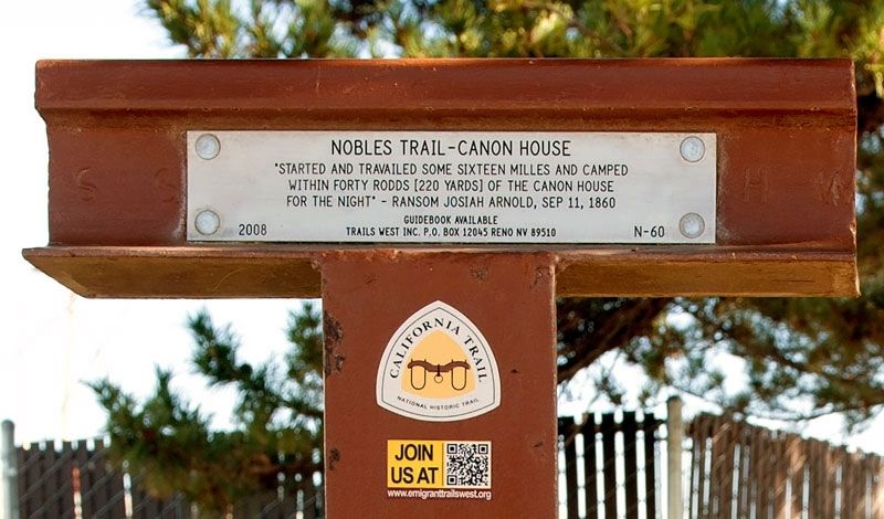
Nobles Trail - Canon House
Erected 2008 by Trails West Inc. (Marker Number N-60.)
Topics and series. This historical marker is listed in these topic lists: Roads & Vehicles • Settlements & Settlers. In addition, it is included in the California Trail, the Nobles Trail, and the Trails West Inc. series lists. A significant historical date for this entry is September 11, 1860.
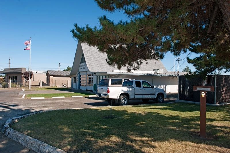
Location. 40° 33.23′ N, 122° 23.363′ W. Marker is in Redding, California, in Shasta County. Park in the lot at Redding Fire Hall #3. As you face the fire hall, the marker is in the small landscaped area to your right. Touch for map. Marker is at or near this postal address: 4255 Westside Road, Redding CA 96001, United States of America. Touch for directions.
Other nearby markers. At least 8 other markers are within 4 miles of this marker, measured as the crow flies. Veterans Memorial Hall (approx. 2 miles away); Veterans Memorial Building Memorial (approx. 2 miles away); Cascade Theater (approx. 2 miles away); Japanese Attack World War II Memorial (approx. 2 miles away); Shasta Union High School War Memorial (approx. 2.4 miles away); Veterans Memorial Grove (approx. 2˝ miles away); Diestelhorst Auto Camp / Reid’s Ferry (approx. 2.7 miles away); Clear Creek (approx. 3.3 miles away). Touch for a list and map of all markers in Redding.
Credits. This page was last revised on May 6, 2020. It was originally submitted on May 5, 2020, by Alvis Hendley of San Francisco, California. This page has been viewed 136 times since then and 13 times this year. Photos: 1, 2. submitted on May 5, 2020, by Alvis Hendley of San Francisco, California. • Syd Whittle was the editor who published this page.

