Near Fallon in Churchill County, Nevada — The American Mountains (Southwest)
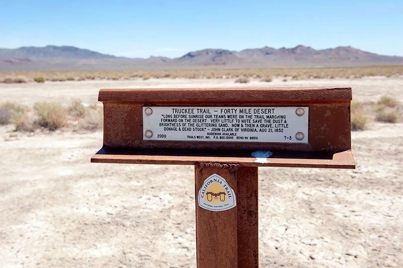
Truckee Trail - Forty Mile Desert
Photographed by Alvis Hendley, August 5, 2010
1. Truckee Trail - Forty Mile Desert Marker
Erected 2000. (Marker Number T-3.)
Topics and series. This historical marker is listed in these topic lists: Roads & Vehicles • Settlements & Settlers. In addition, it is included in the California Trail, the Trails West Inc., and the Truckee Trail series lists. A significant historical date for this entry is August 21, 1852.
Location. 39° 55.767′ N, 118° 44.964′ W. Marker is near Fallon, Nevada, in Churchill County. It is on U.S. 95 0.9 miles south of Interstate 80, on the left when traveling south. Marker is 0.9 miles south of the Fallon Rest Area. Touch for map. Marker is in this post office area: Fallon NV 89406, United States of America. Touch for directions.

Regionally, this marker is in the Northern Nevada. It is also in the American Mountain West. Globally, it is in North America, the Western Hemisphere, the Western World, and the Anglosphere. Historically, it finds itself
this page online
Other nearby markers. At least 7 other markers are within 15 miles of this marker, measured as the crow flies: About Your Journey ... (approx. ¾ mile away); Traveling Through Hell (approx. ¾ mile away); A Home of Early Man (approx. ¾ mile away but has been replaced with another marker now near it); Forty Mile Desert (approx. 0.8 miles away); People of the Humboldt (approx. 0.8 miles away); Truckee Trail - Forks of the Trail / H.R.R. 12 - Site of the Last Sulpherous Water on West Humboldt (approx. 3.7 miles away); California Trail - Granite Point / H.R.R-9 - West Branch of California Trail (approx. 14.3 miles away).
Regarding Truckee Trail - Forty Mile Desert. The term donage on the marker is probably a variant of dunnage which means personal baggage or belongings.
Additional commentary.
1. Trails West Inc.
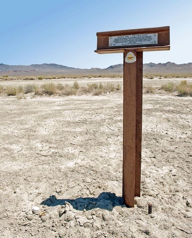
Trails West Inc. of Reno, Nevada, has erected seventy markers along the Truckee Trail from Humboldt Bar in the Forty Mile Desert a few miles east of this marker to Johnson's Ranch near Wheatland in the agricultural Central Valley of California.
The markers
Photographed by Alvis Hendley, August 5, 2010
2. Truckee Trail - Forty Mile Desert Marker
In addition to marking the Truckee Trail, Trails West has installed six hundred markers along two thousand miles of emigrant trails stretching from southern Idaho, across Nevada, and into California and Oregon.
Trails West publishes excellent guides to the trails.
— Submitted May 5, 2020, by Alvis Hendley of San Francisco, California.
Photographed by Alvis Hendley, August 5, 2010
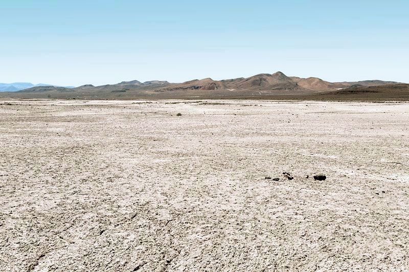
3. Forty Mile Desert
Credits. This page was last revised on May 7, 2020. It was originally submitted on May 5, 2020, by Alvis Hendley of San Francisco, California. This page has been viewed 1,133 times since then and 38 times this year. Photos: 1, 2, 3. submitted on May 5, 2020, by Alvis Hendley of San Francisco, California. • Syd Whittle was the editor who published this page.
