Near Watkinsville in Oconee County, Georgia — The American South (South Atlantic)
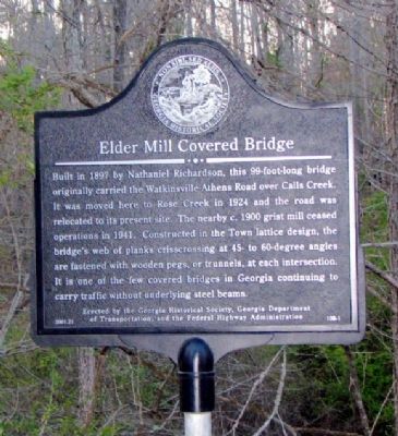
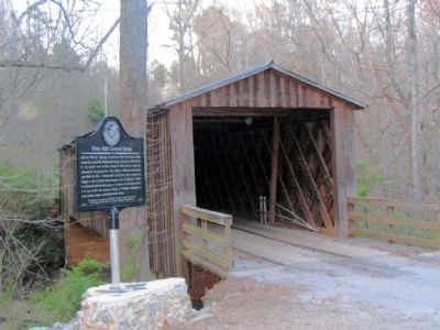
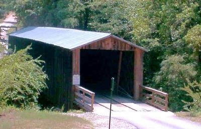
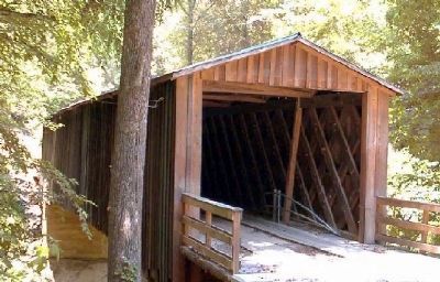
Elder Mill Covered Bridge
Erected 2001 by Georgia Historical Society, Georgia Department of Transportation, and the Federal Highway Administration. (Marker Number 108-1.)
Topics and series. This historical marker is listed in these topic lists: Bridges & Viaducts • Roads & Vehicles • Waterways & Vessels. In addition, it is included in the Covered Bridges, and the Georgia Historical Society series lists. A significant historical year for this entry is 1897.
Location. 33° 48.192′ N, 83° 21.822′ W. Marker is near Watkinsville, Georgia, in Oconee County. Marker is on Elder Mill Road, 0.3 miles north of Saxon Road, on the right when traveling north. The marker is at the north end of the bridge, where a small park (with room to park a few cars) has been created. Touch for map. Marker is in this post office area: Watkinsville GA 30677, United States of America. Touch for directions.
Other nearby markers. At least 8 other markers are within 5 miles of this marker, measured as the crow flies. John Andrew (approx. 3.6 miles away); E. D. Stroud School (approx. 4 miles away); In Honor of all American Veterans (approx. 4˝ miles away); Birthplace of Bishop A. G. Haygood and Miss Laura A. Haygood (approx. 4.6 miles away); In Honor of Our Revolutionary War Patriots (approx. 4.7 miles away); Oconee County (approx. 4.9 miles away); Civilians Abducted During Stoneman’s Raid (approx. 4.9 miles away); The Stoneman Raid (approx. 4.9 miles away). Touch for a list and map of all markers in Watkinsville.
Credits. This page was last revised on January 4, 2020. It was originally submitted on January 2, 2009, by David Seibert of Sandy Springs, Georgia. This page has been viewed 2,122 times since then and 31 times this year. Photos: 1, 2, 3, 4. submitted on January 2, 2009, by David Seibert of Sandy Springs, Georgia. • Kevin W. was the editor who published this page.


