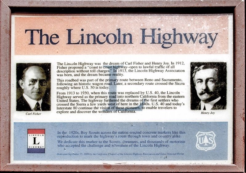
The Lincoln Highway
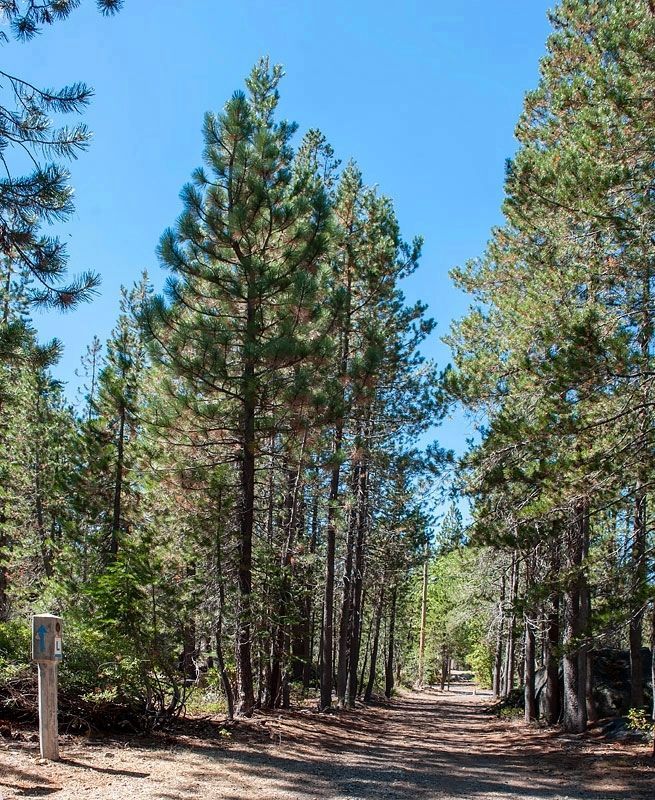
This roadbed was part of the primary route between Reno and Sacramento, following an historic wagon road. Later, a secondary route crossed the Sierra roughly where U.S. 50 is today.
From 1913 to 1930, when this route was replaced by U.S. 40, the Lincoln Highway served as the primary road into northern California from the eastern United States. The highway furthered the dreams of the first settlers who crossed the Sierra a few yards west of here in the 1840s. U.S. 40 and today's Interstate 80 continue the vision of these pioneers to enable travelers to explore and discover the wonders of California.
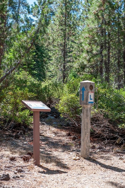
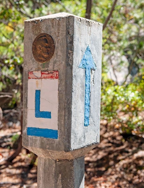
In the 1920s, Boy Scouts across the nation erected concrete markers like this reproduction to mark the highway's route through town and country alike.
We dedicate this marker to the Scouts, dreamers, and thousands of motorists who accepted the challenge and adventure of the Lincoln Highway.
Erected 1999 by California Chapter of the Lincoln Highway Association and Tahoe National Forest.
Topics and series. This historical marker
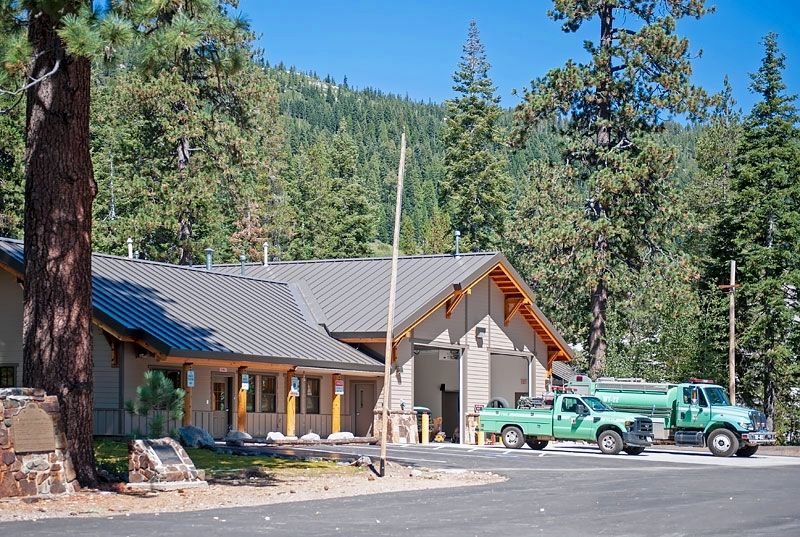
Location. 39° 18.411′ N, 120° 31.005′ W. Marker is near Cisco Grove, California, in Placer County. When I visited this marker, I neglected to do due diligence on recording the coordinates. The latitude and longitude are therefore approximate within a few hundred feet. To reach the marker, drive east on I-80 to Exit 166 (Big Bend), the first exit east of Cisco Grove. Take the exit. Turn left on Hampshire Rocks Road. Drive 0.3 miles to the Big Bend Fire Station on the left. Park. The old Lincoln Highway roadbed is on the other side of Hampshire Rocks Road (south side), a short distance into the woods. Touch for map. Marker is at or near this postal address: 49685 Hampshire Rocks Road, Emigrant Gap CA 95715, United States of America. Touch for directions.
Other nearby markers. At least 8 other markers are within 3 miles of this marker, measured as the crow flies. Big Bend (about 300 feet away, measured in a direct line); Overland Emigrant Trail (about 400 feet away); Stephens-Townsend-Murphy Party (about 400 feet away); a different marker also named Lincoln Highway (approx. half a mile away); Rainbow Lodge (approx. half a mile away); Forest Gift Shop, Cisco Grove (approx. 1.4 miles away); Susan's Spot (approx. 1.4 miles away); Truckee Trail - Ascent to Lake and Valley (approx. 2.7 miles away).
Credits. This page was last revised on May 10, 2020. It was originally submitted on May 7, 2020, by Alvis Hendley of San Francisco, California. This page has been viewed 338 times since then and 37 times this year. Photos: 1, 2, 3, 4, 5. submitted on May 7, 2020, by Alvis Hendley of San Francisco, California. • Syd Whittle was the editor who published this page.
