Pleasant Grove in Utah County, Utah — The American Mountains (Southwest)
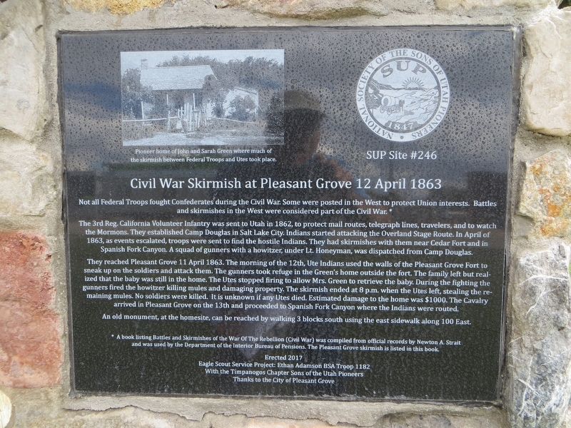
Civil War Skirmish at Pleasant Grove
12 April 1863
The 3rd Reg. California Volunteer Infantry were sent to Utah in 1862, to protect mail routes, telegraph lines, travelers and to watch the Mormons. They established Camp Douglas in Salt Lake City. Indians started attacking the Overland Stage Route. In April of 1863, as events escalated, troops were sent to find the hostile Indians. They had skirmishes with them near Cedar Fort and in Spanish Fork Canyon. A squad of gunners with a howitzer, under Lt. Honeyman, was dispatched from Camp Douglas.
They reached Pleasant Grove 11 April 1863. The morning of the 12th, Ute Indians used the walls of the Pleasant Grove Fort to sneak up on the soldiers and attack them. The gunners took refuge in the Green’s home outside the fort. The family left but realized that the baby was still in the home. The Utes stopped firing to allow Mrs. Green to retrieve the baby. During the fighting the gunners fired the howitzer killing mules and damaging property. The skirmish ended at 8 p.m. when the Utes left, stealing the remaining mules. No soldiers were killed. It is unknown if any Utes died. Estimated damage to the home was $1000. The Cavalry arrived in Pleasant Grove on the 13th and proceeded to Spanish fork Canyon where the Indians were routed.
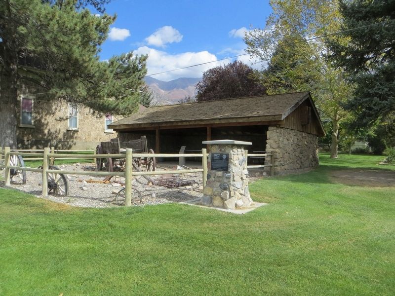
An old monument, at the homesite, can be reached by walking 3 blocks south using the east sidewalk along 100 East.
A book listing Battles and Skirmishes of the War Of The Rebellion (Civil War) was compiled from official records by Newton A. Strait and was used by the Department of the Interior Bureau of Pensions. The Pleasant Grove skirmish is listed in this book.
Erected 2017 by Eagle Scout Service Project: Ethan Adamson BSA troop 1182 with the Timpanogos Chapter Sons of the Utah Pioneers. (Marker Number 246.)
Topics and series. This memorial is listed in this topic list: War, US Civil. In addition, it is included in the Sons of Utah Pioneers series list. A significant historical month for this entry is April 1863.
Location. 40° 21.719′ N, 111° 44.318′ W. Marker is in Pleasant Grove, Utah, in Utah County. Memorial is on South 100 East, on the right when traveling north. Touch for map. Marker is at or near this postal address: 107 South 100 East, Pleasant Grove UT 84062, United States of America. Touch for directions.
Other nearby markers. At least 8 other markers are within walking distance of this marker. Winter Corral (a few steps from this marker); Pleasant Grove Town Hall (within shouting distance of this marker); Jeppa and Anna Nelson Granary (about 300 feet away, measured in a direct line); Pioneer Flour Mill (about 400 feet away); Pioneer Relic Hall (about 400 feet away); Utah’s First Indian Battle (about 500 feet away); Old Pleasant Grove Fort (approx. 0.2 miles away); a different marker also named Old Pleasant Grove Fort (approx. 0.2 miles away). Touch for a list and map of all markers in Pleasant Grove.
Credits. This page was last revised on May 9, 2020. It was originally submitted on May 9, 2020, by Bill Kirchner of Tucson, Arizona. This page has been viewed 272 times since then and 28 times this year. Photos: 1, 2. submitted on May 9, 2020, by Bill Kirchner of Tucson, Arizona.

