Gambles Hill in Richmond, Virginia — The American South (Mid-Atlantic)
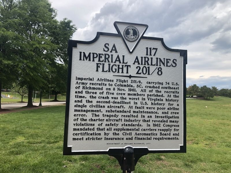
Imperial Airlines Flight 201/8
Photographed by Devry Becker Jones (CC0), May 8, 2020
1. Imperial Airlines Flight 201/8 Marker
Inscription.
Imperial Airlines Flight 201/8, carrying 74 U.S. Army recruits to Columbia, SC, crashed southeast of Richmond on 8 Nov. 1961. All of the recruits and three of the five crew members perished. At the time, the crash was the worst in Virginia history and the second-deadliest in U.S. history for a single civilian aircraft. At fault were poor airline management, substandard maintenance, and crew error. The tragedy resulted in an investigation of the charter aircraft industry that revealed many violations of safety standards. In 1962 Congress mandated that all supplemental carriers reapply for certification by the Civil Aeronautics Board and meet stricter insurance and financial requirements.
Erected 2017 by Department of Historic Resources. (Marker Number SA-117.)
Location. 37° 32.287′ N, 77° 26.784′ W. Marker is in Richmond, Virginia. It is in Gambles Hill. It is at the intersection
Click or scan to see this page online
of South 2nd Street and Spring Street, on the right when traveling east on South 2nd Street. Touch for map. Marker is in this post office area: Richmond VA 23220, United States of America. Touch for directions.
Regionally, this marker is in Central Virginia. It is also in the American South and specifically in the Upper South. Globally, it is in North America, the Western Hemisphere, the Western World, and the Anglosphere. Historically, it finds itself in what was once the territory of the Mississippian Culture, one of the original Thirteen Colonies, one of the Confederate States of America, and the Antebellum South.
Other markers no longer nearby. The Canal and the Civil War (was about 600 feet away, measured in a direct line but has been permanently removed); Rail Lines at Tredegar (was about 700 feet away but has been permanently removed); Worker Housing (was about
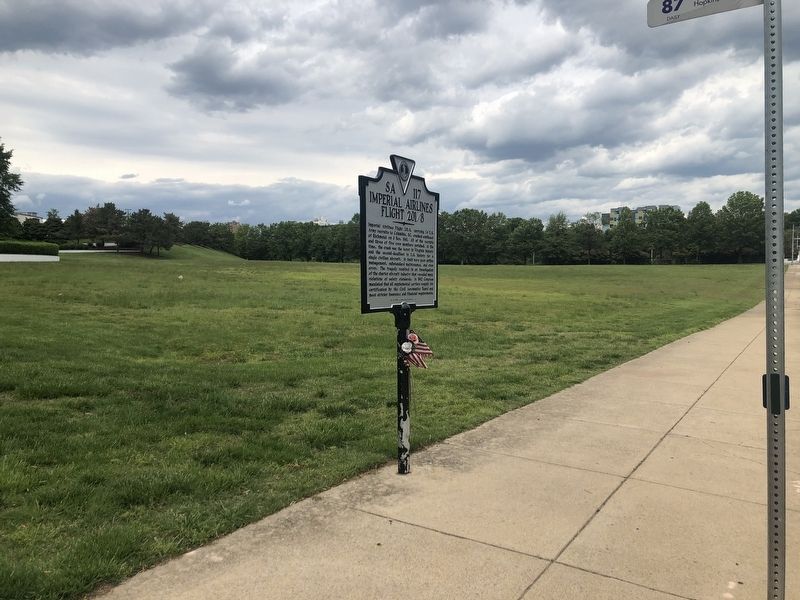
Photographed by Devry Becker Jones (CC0), May 8, 2020
Credits. This page was last revised on February 1, 2023. It was originally submitted on May 9, 2020, by Devry Becker Jones of Washington, District of Columbia. This page has been viewed 1,069 times since then and 98 times this year. Photos:1, 2. submitted on May 9, 2020, by Devry Becker Jones of Washington, District of Columbia.