Near Franklin in Williamson County, Tennessee — The American South (East South Central)
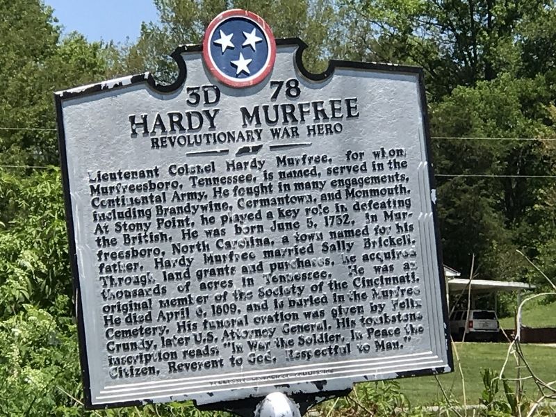
Hardy Murfree
Revolutionary War Hero
Lieutenant Colonel Hardy Murfree, for whom Murfreesboro, Tennessee, is named, served in the Continental Army. He fought in many engagements, including Brandywine, Germantown, and Monmouth. At Stony Point, he played a key role in defeating the British. He was born June 5, 1752, in Murfreesboro, North Carolina, a town named for his father. Hardy Murfree married Sally Brickell. Through land grants and purchases, he acquired thousands of acres in Tennessee. He was an original member of the Society of the Cincinnati. He died April 4, 1809, and is buried in the Murfree Cemetery. His funeral oration was given by Fells Crundy, later U.S. Attorney General. His tombstone inscription reads "In War the Soldier, In Peace the Citizen, Reverent to God, Respectful to Man."
Erected by Tennessee Historical Commission. (Marker Number 3D 78.)
Topics and series. This historical marker is listed in these topic lists: Settlements & Settlers • War, US Revolutionary. In addition, it is included in the Tennessee Historical Commission series list. A significant historical date for this entry is June 5, 1752.
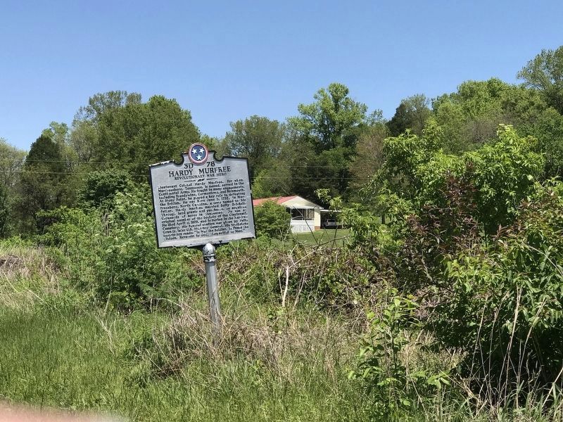
Location. 35° 51.048′ N, 86° 57.312′ W. Marker is near Franklin, Tennessee, in Williamson County. Marker is on Carters Creek Pike (Tennessee Route 246) south of West Harpeth Road, on the left when traveling south. Touch for map. Marker is in this post office area: Franklin TN 37064, United States of America. Touch for directions.
Other nearby markers. At least 8 other markers are within 4 miles of this marker, measured as the crow flies. One Land - Two Warriors - Two Grants (approx. 0.3 miles away); Forest Hill (approx. 0.4 miles away); Mayberry-Bailey Plantation (approx. 1.1 miles away); Burwood (approx. 3.1 miles away); Southall (approx. 3.3 miles away); Franklin-Hillsboro Turnpike / Franklin's Water Supply (approx. 3.3 miles away); Leiper's Fork (approx. 3.8 miles away); War and Occupation (approx. 3.9 miles away). Touch for a list and map of all markers in Franklin.
Credits. This page was last revised on May 14, 2020. It was originally submitted on May 10, 2020, by Duane and Tracy Marsteller of Murfreesboro, Tennessee. This page has been viewed 415 times since then and 32 times this year. Photos: 1. submitted on May 10, 2020, by Duane and Tracy Marsteller of Murfreesboro, Tennessee. 2. submitted on May 14, 2020, by Duane and Tracy Marsteller of Murfreesboro, Tennessee. • J. Makali Bruton was the editor who published this page.

