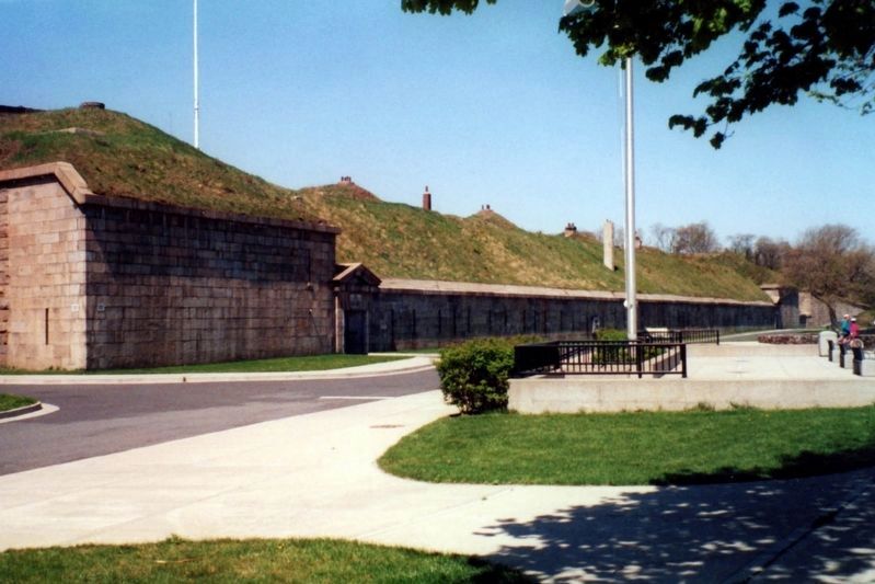
Fort Wadsworth on Staten Island in Richmond County, New York — The American Northeast (Mid-Atlantic)
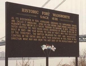
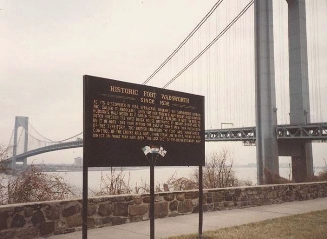
Historic Fort Wadsworth
Since 1636
Topics. This historical marker is listed in these topic lists: Colonial Era • Forts and Castles • Military • War, US Revolutionary. A significant historical year for this entry is 1574.
Location. Marker has been reported missing. It was located near 40° 36.27′ N, 74° 3.262′ W. Marker was on Staten Island, New York, in Richmond County. It was in Fort Wadsworth. Marker could be reached from Battery Road. Touch for map. Marker was in this post office area: Staten Island NY 10305, United States of America. Touch for directions.
Other nearby markers. At least 8 other markers are within walking distance of this location. South Cliff (within shouting distance of this marker); Verrazano – Narrows Bridge (within shouting distance of this marker); Battery Weed (within shouting distance of this marker); Fort Tompkins (about 300 feet away, measured in a direct line); Defending New York Harbor (about 300 feet away); a different marker also named Battery Weed (about 300 feet away); Battery Duane (about 400 feet away); Fort Wadsworth (about 400 feet away). Touch for a list and map of all markers in Staten Island.
Also see . . .
1. National Park Service - Gateway National Recreation Area. (Submitted on May 26, 2009, by Richard E. Miller of Oxon Hill, Maryland.)
2. Fort Wadsworth. (Submitted on May 26, 2009, by Richard E. Miller of Oxon Hill, Maryland.)
3. Battery Weed. (Submitted on May 26, 2009, by Richard E. Miller of Oxon Hill, Maryland.)
Additional keywords. Battery Weed; Giovanni da Verrazzano; Verrazzano Narrows.
Credits. This page was last revised on January 31, 2023. It was originally submitted on May 26, 2009, by Richard E. Miller of Oxon Hill, Maryland. This page has been viewed 1,353 times since then and 59 times this year. Last updated on May 10, 2020, by Larry Gertner of New York, New York. Photos: 1, 2, 3. submitted on May 26, 2009, by Richard E. Miller of Oxon Hill, Maryland. 4. submitted on August 16, 2009, by Bill Coughlin of Woodland Park, New Jersey. 5. submitted on May 10, 2020, by Larry Gertner of New York, New York. • J. Makali Bruton was the editor who published this page.
