Near Franklin in Williamson County, Tennessee — The American South (East South Central)
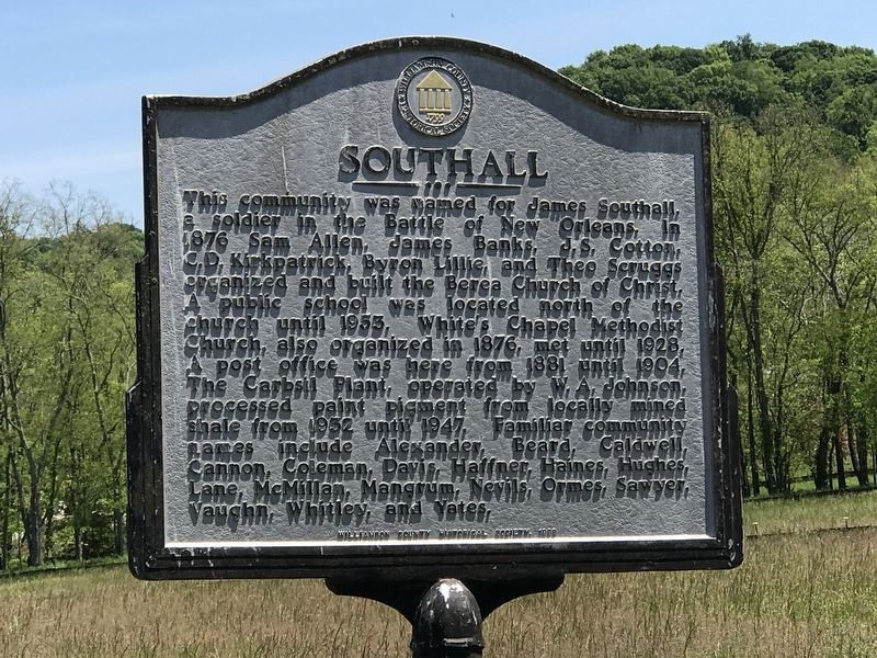
Southall
Erected 1998 by Williamson County Historical Society.
Topics and series. This historical marker is listed in this topic list: Settlements & Settlers. In addition, it is included in the Tennessee – Williamson County Historical Society series list. A significant historical year for this entry is 1876.
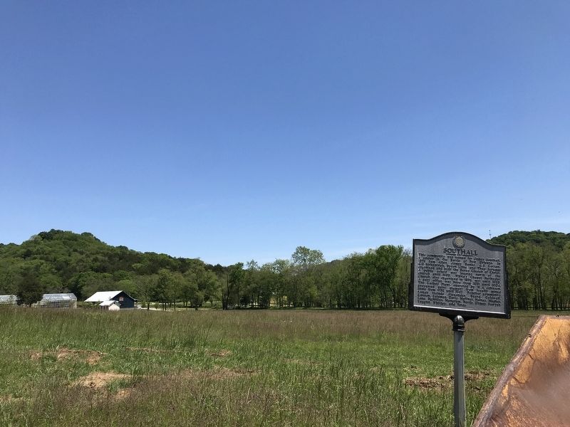
Location. 35° 53.541′ N, 86° 55.542′ W. Marker is near Franklin, Tennessee, in Williamson County. Marker is at the intersection of Carters Creek Pike (State Highway 246) and Southall Road, on the right when traveling east on Carters Creek Pike. Touch for map. Marker is at or near this postal address: 1250 Carters Creek Pike, Franklin TN 37064, United States of America. Touch for directions.
Other nearby markers. At least 8 other markers are within 3 miles of this marker, measured as the crow flies. Franklin-Hillsboro Turnpike / Franklin's Water Supply (approx. 1.9 miles away); Rucker-Lawrence House (approx. 2.1 miles away); Rev. Mark Lyell Locke Andrews (approx. 2.4 miles away); Major Anthony Sharpe (1746-1812)/ George Hulme (1761-1835) (approx. 2˝ miles away); The American Chestnut (approx. 2.6 miles away); Chestnut Blight (approx. 2.6 miles away); Restoring the Chestnut (approx. 2.6 miles away); Westhaven Community / William White Cemetery (approx. 2.6 miles away). Touch for a list and map of all markers in Franklin.
Credits. This page was last revised on May 11, 2020. It was originally submitted on May 11, 2020, by Duane and Tracy Marsteller of Murfreesboro, Tennessee. This page has been viewed 650 times since then and 61 times this year. Photos: 1, 2. submitted on May 11, 2020, by Duane and Tracy Marsteller of Murfreesboro, Tennessee. • Devry Becker Jones was the editor who published this page.

