Franklin in Williamson County, Tennessee — The American South (East South Central)
Roper's Knob in the Civil War / The Union Fortification of Roper's Knob
(side 1)
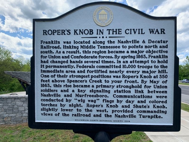
Roper's Knob in the Civil War
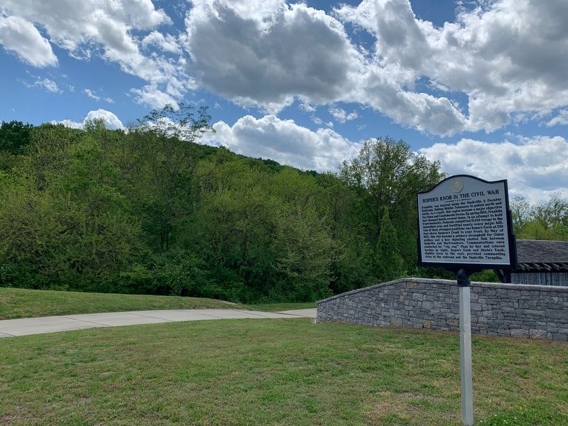
Franklin was located along the Nashville & Decatur Railroad, linking Middle Tennessee to points north and south. As a result, this region became a major objective for Union and Confederate forces. By Spring 1863, Franklin had changed hands several times. In an attempt to hold it permanently, Federals committed 10,000 troops to the immediate area and fortified nearly every major hill. One of their strongest positions was Roper's Knob at 350 feet above Spencer's Creek to your front. By May of 1863, this rise became a primary stronghold for Union soldiers and a key signaling station link between Nashville and Murfreesboro. Communications were conducted by "wig wag" flags by day and colored torches by night. Roper's Knob and Shute's Knob, slightly lower and to the west, provided commanding views of the railroad and Nashville Turnpike.
(side 2)
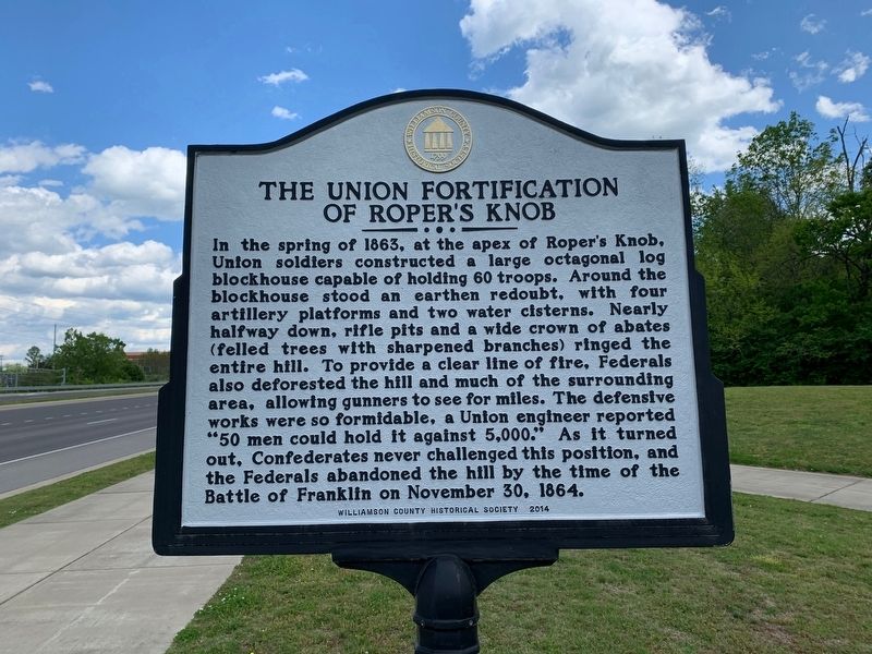
The Union Fortification of Roper's Knob
In the spring of 1863, at the apex of Roper's Knob, Union soldiers constructed a large octagonal log blockhouse capable of holding 60 troops. Around the blockhouse stood an earthen redoubt, with four artillery platforms and two water cisterns. Nearly halfway down, rifle pits and a wide crown of abates (felled trees with sharpened branches) ringed the entire hill. To provide a clear line of fire, Federals also deforested the hill and much of the surrounding area, allowing gunners to see for miles. The defensive works were so formidable, a Union engineer reported "50 men could hold it against 5,000." As it turned out, Confederates never challenged this position, and the Federals abandoned the hill by the Battle of Franklin on November 30, 1864.
Erected 2014 by Williamson County Historical Society.
Topics and series. This historical marker is listed in these topic lists: Forts and Castles • War, US Civil. In addition, it is included in the Tennessee – Williamson County Historical Society series list. A significant historical date for this entry is November 30, 1864.
Location. 35° 56.555′ N, 86° 50.588′ W. Marker is in Franklin, Tennessee, in Williamson County. Marker is on Mack C. Hatcher Memorial Parkway (U.S. 31/431) 0.2 miles west of Cool Springs Boulevard, on the left when traveling west. Touch for map. Marker is in this post office area: Franklin TN 37064, United States of America. Touch for directions.
Other nearby markers. At least 8 other markers are within 2 miles of this marker, measured as the crow flies. McEwen Cemetery (approx. half a mile away); First Presbyterian Church (approx. 0.6 miles away); Franklin Interurban (approx. 0.6 miles away); Battle Ground Academy (approx. one mile away); Glen Echo (approx. one mile away); a different marker also named Battle Ground Academy (approx. one mile away); Legacy Walk (approx. one mile away); Rusty Mechanism (approx. 1.2 miles away). Touch for a list and map of all markers in Franklin.
Also see . . . Archaeological Investigations on Roper’s Knob (pdf file). Archaeological Investigations on Roper’s Knob: A Fortified Civil War Site in Williamson County, Tenn. Author Benjamin C. Nance. Test excavations on top of Roper’s Knob in northern Williamson County exposed Civil War period fortifications and features. The fortifications included a redoubt as well as the rare example of an excavated blockhouse. The investigations also uncovered evidence of a mid-1800s domestic structure likely occupied by the Roper family. (Submitted on May 11, 2020.)
Credits. This page was last revised on May 12, 2020. It was originally submitted on May 11, 2020. This page has been viewed 427 times since then and 41 times this year. Photos: 1, 2, 3. submitted on May 11, 2020. • Bernard Fisher was the editor who published this page.


