Near Franklin in Williamson County, Tennessee — The American South (East South Central)
Meeting of the Waters
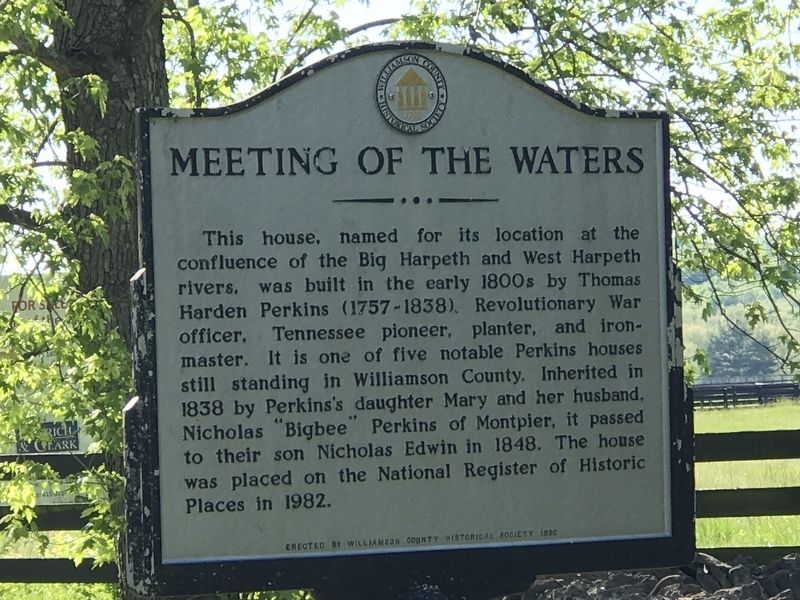
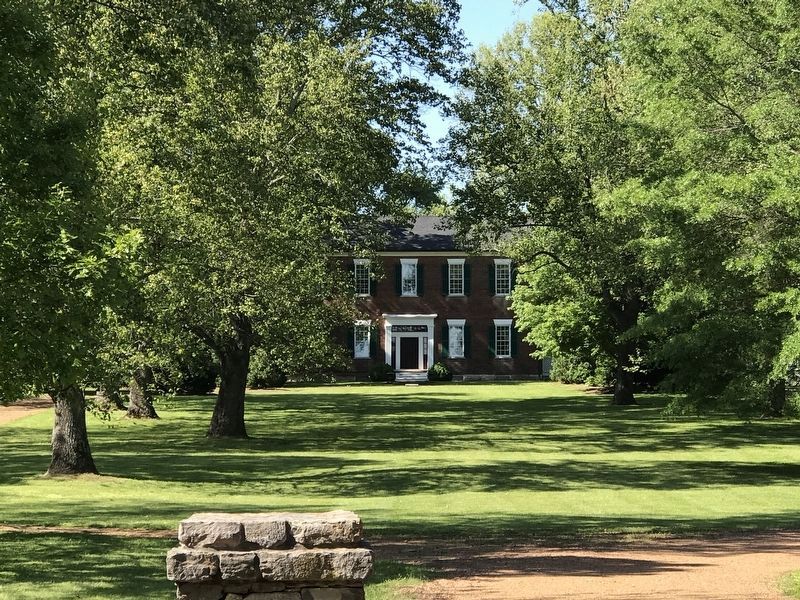
This house, named for its location at the confluence of the Big Harpeth and West Harpeth rivers, was built in the early 1800s by Thomas Harden Perkins (1757-1838), Revolutionary War officer, Tennessee pioneer, planter, and ironmaster. It is one of five notable Perkins houses still standing in Williamson County. Inherited in 1838 by Perkins's daughter Mary and her husband, Nicholas "Bigbee" Perkins of Montpier, it passed to their son Nicholas Edwin in 1848. The house was placed on the National Register of Historic Places in 1982.
Erected 1990 by Williamson County Historical Society.
Topics and series. This historical marker is listed in these topic lists: Settlements & Settlers • War, US Revolutionary. In addition, it is included in the Tennessee – Williamson County Historical Society series list. A significant historical year for this entry is 1838.
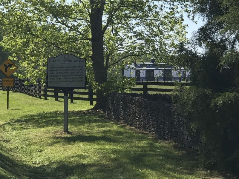
Location. 35° 58.111′ N, 86° 55.227′ W. Marker is near Franklin, Tennessee, in Williamson County. Marker is on Del Rio Pike east of Two Rivers Lane, on the left when traveling east. Touch for map. Marker is at or near this postal address: 3200 Del Rio Pike, Franklin TN 37069, United States of America. Touch for directions.
Other nearby markers. At least 8 other markers are within 3 miles of this marker, measured as the crow flies. Forest Home (approx. 0.6 miles away); Natchez Trace Road (approx. 0.6 miles away); The Old Natchez Trace / Old Town Historic Daffodil Project (approx. 0.8 miles away); James McGavock Family Cemetery (approx. 0.9 miles away); Montpier (approx. 1.1 miles away); Berry’s Chapel Church of Christ (approx. 1.9 miles away); Berry’s Chapel Stone Wall / Berry's Chapel Community (approx. 1.9 miles away); Hamilton Place (approx. 2.3 miles away). Touch for a list and map of all markers in Franklin.
Also see . . . Meeting of the Waters. History of the property, from Dec. 21, 2017 post in "Tales of Tennessee and Beyond" section of Moore Historical Consulting's website. (Submitted on May 11, 2020, by Duane and Tracy Marsteller of Murfreesboro, Tennessee.)
Credits. This page was last revised on May 14, 2020. It was originally submitted on May 11, 2020, by Duane and Tracy Marsteller of Murfreesboro, Tennessee. This page has been viewed 490 times since then and 31 times this year. Photos: 1, 2, 3. submitted on May 11, 2020, by Duane and Tracy Marsteller of Murfreesboro, Tennessee. • J. Makali Bruton was the editor who published this page.


