Near Franklin in Williamson County, Tennessee — The American South (East South Central)
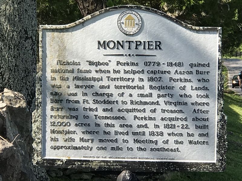
Montpier
Erected 1999 by Williamson County Historical Society.
Topics and series. This historical marker is listed in these topic lists: Law Enforcement • Settlements & Settlers. In addition, it is included in the Tennessee – Williamson County Historical Society series list. A significant historical year for this entry is 1822.
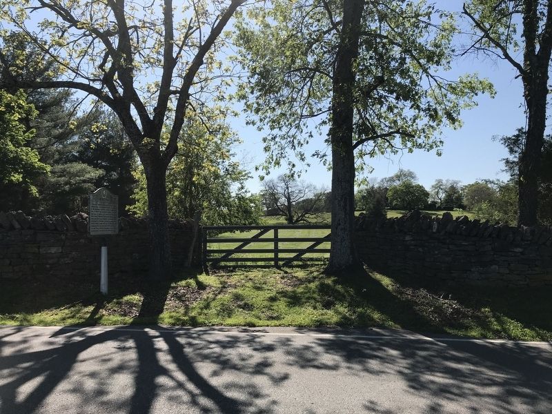
Location. 35° 58.938′ N, 86° 55.853′ W. Marker is near Franklin, Tennessee, in Williamson County. Marker is on Old Natchez Trace, 0.3 miles south of Natchez Road, on the right when traveling south. Touch for map. Marker is at or near this postal address: 1837 Old Natchez Trace, Franklin TN 37069, United States of America. Touch for directions.
Other nearby markers. At least 8 other markers are within 3 miles of this marker, measured as the crow flies. The Old Natchez Trace / Old Town Historic Daffodil Project (approx. 0.4 miles away); Natchez Trace Road (approx. half a mile away); Forest Home (approx. half a mile away); Meeting of the Waters (approx. 1.1 miles away); James McGavock Family Cemetery (approx. 1.1 miles away); Berry’s Chapel Church of Christ (approx. 2.4 miles away); Berry’s Chapel Stone Wall / Berry's Chapel Community (approx. 2.4 miles away); Leigh-Morgan Property at Grassland (approx. 2.7 miles away). Touch for a list and map of all markers in Franklin.
Credits. This page was last revised on August 27, 2020. It was originally submitted on May 11, 2020, by Duane and Tracy Marsteller of Murfreesboro, Tennessee. This page has been viewed 504 times since then and 62 times this year. Photos: 1, 2. submitted on May 11, 2020, by Duane and Tracy Marsteller of Murfreesboro, Tennessee. • Devry Becker Jones was the editor who published this page.

