Near Franklin in Williamson County, Tennessee — The American South (East South Central)
Grassland Community
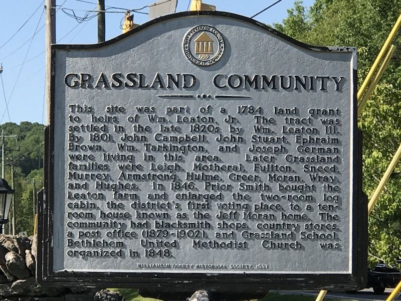
Photographed by Duane and Tracy Marsteller, May 9, 2020
1. Grassland Community Marker
Erected 1997 by Williamson County Historical Society.
Topics and series. This historical marker is listed in this topic list: Settlements & Settlers. In addition, it is included in the Tennessee – Williamson County Historical Society series list. A significant historical year for this entry is 1784.
Location. 36° 0.683′ N, 86° 53.336′ W. Marker is near Franklin, Tennessee, in Williamson County. It is at the intersection of Hillsboro Road (U.S. 431)
this page online

Regionally, this marker is in Middle Tennessee and in Greater Nashville. It is also in the American South and specifically in the Upper South. Globally, it is in North America, the Western Hemisphere, the Western World, and the Anglosphere. Historically, it finds itself in what was once the territory of the Mississippian Culture, one of the Confederate States of America, and the Antebellum South.
Other nearby markers. At least 8 other markers are within 3 miles of this marker, measured as the crow flies: Montpier (approx. 0.3 miles away); Samuel Claybrook Locke (approx. half a mile away); Motheral/Moran House (approx. 0.7 miles away); Motheral-Ring Family of Locust Guard (approx. 0.9 miles away); Leigh-Morgan Property at Grassland (approx. 0.9 miles away); Beechville (approx. 1.9 miles away); Berry’s Chapel Stone Wall / Berry's Chapel Community (approx. 2.2 miles away); Berry’s Chapel Church of Christ (approx. 2.3 miles away). Touch for a list and map
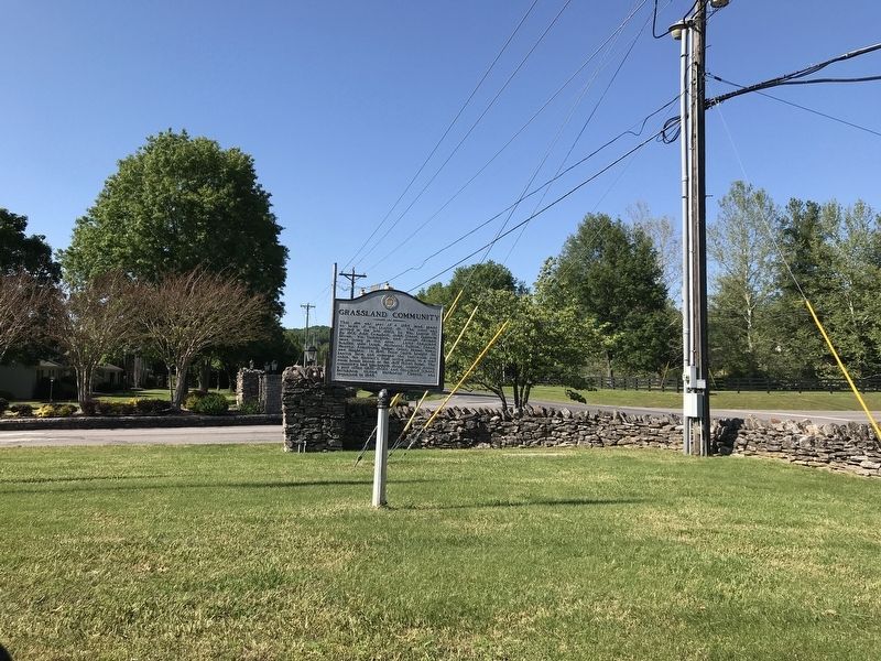
Photographed by Duane and Tracy Marsteller, May 9, 2020
2. Grassland Community Marker
Also see . . . With hints of change, Grassland has kept its quiet community spirit. Community profile in the Oct. 13, 2017 edition of The Tennessean. (Submitted on May 11, 2020, by Duane and Tracy Marsteller of Murfreesboro, Tennessee.)
Credits. This page was last revised on May 12, 2020. It was originally submitted on May 11, 2020, by Duane and Tracy Marsteller of Murfreesboro, Tennessee. This page has been viewed 1,292 times since then and 75 times this year. Photos: 1, 2. submitted on May 11, 2020, by Duane and Tracy Marsteller of Murfreesboro, Tennessee. • Devry Becker Jones was the editor who published this page.
