Near Brentwood in Williamson County, Tennessee — The American South (East South Central)
Beechville
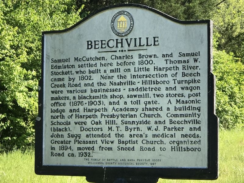
Photographed by Duane and Tracy Marsteller, May 9, 2020
1. Beechville Marker
Erected 1997 by The family of Battle and Sara Puryear Rodes; Williamson County Historical Society.
Topics and series. This historical marker is listed in these topic lists: Education • Industry & Commerce • Roads & Vehicles • Settlements & Settlers. In addition, it is included in the Tennessee – Williamson County Historical Society series list. A significant historical year for this entry is 1800.
Location. 36° 2.164′ N,
this page online

Regionally, this marker is in Middle Tennessee and in Greater Nashville. It is also in the American South and specifically in the Upper South. Globally, it is in North America, the Western Hemisphere, the Western World, and the Anglosphere. Historically, it finds itself in what was once the territory of the Mississippian Culture, one of the Confederate States of America, and the Antebellum South.
Other nearby markers. At least 8 other markers are within 2 miles of this marker, measured as the crow flies: Harpeth Church (approx. 0.6 miles away); Aaittafama' Archaeological Park (approx. 0.8 miles away); 1811 House (approx. 1.2 miles away); Samuel Claybrook Locke (approx. 1½ miles away); Northern-Hodge Cemetery (approx. 1.6 miles away); Percy Warner Park - Chickering Trailhead
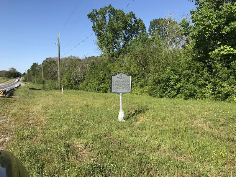
Photographed by Duane and Tracy Marsteller, May 9, 2020
2. Beechville Marker
Credits. This page was last revised on May 12, 2020. It was originally submitted on May 11, 2020, by Duane and Tracy Marsteller of Murfreesboro, Tennessee. This page has been viewed 1,763 times since then and 124 times this year. Photos: 1, 2. submitted on May 11, 2020, by Duane and Tracy Marsteller of Murfreesboro, Tennessee. • Devry Becker Jones was the editor who published this page.
