Nolensville in Williamson County, Tennessee — The American South (East South Central)
Nolensville United Methodist Church
Inscription.
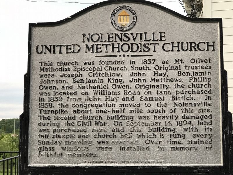
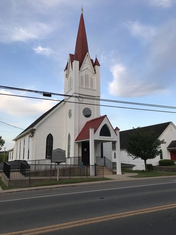
This church was founded in 1837 as Mt. Olivet Methodist Episcopal Church, South. Original trustees were Joseph Critchlow, John Hay, Benjamin Johnson, Benjamin King, John Matthews, Phillip Owen, and Nathaniel Owen. Originally, the church was located on Williams Road on land purchased in 1839 from John Hay and Samuel Bittick. In 1858, the congregation moved to the Nolensville Turnpike about one-half mile south of this site. The second church building was heavily damaged during the Civil War. On September 14, 1894, land was purchased here and this building, with its tall steeple and church bell which is rung every Sunday morning, was erected. Over time, stained glass windows were installed in memory of faithful members.
Erected 1997 by Williamson County Historical Society.
Topics and series. This historical marker is listed in these topic lists: Churches & Religion • War, US Civil. In addition, it is included in the Tennessee – Williamson County Historical Society series list. A significant historical year for this entry is 1837.
Location. 35° 57.104′ N, 86° 40.14′ W. Marker is in Nolensville, Tennessee, in Williamson County. Marker is on Nolensville Road (Alternate U.S. 31) south of Old Clovercraft Road/Nolensville Park Road, on the left when traveling south. Touch for map. Marker is at or near this postal address: 7316 Nolensville Road, Nolensville TN 37135, United States of America. Touch for directions.
Other nearby markers. At least 8 other markers are within one mile of this marker, measured as the crow flies. Ebenezer United Methodist Church (about 600 feet away, measured in a direct line); Nolensville (about 700 feet away); Nolensville Cemetery (about 800 feet away); Nolensville War Memorial (approx. half a mile away); Nolensville School (approx. half a mile away); 1937 Historic Nolensville School (approx. 0.6 miles away); Sherwood Green (approx. 0.6 miles away); Sunset Park (approx. 1.1 miles away). Touch for a list and map of all markers in Nolensville.
Also see . . . Our Story - Nolensville First United Methodist Church. Church website entry (Submitted on May 12, 2020, by Duane and Tracy Marsteller of Murfreesboro, Tennessee.)
Credits. This page was last revised on April 21, 2024. It was originally submitted on May 12, 2020, by Duane and Tracy Marsteller of Murfreesboro, Tennessee. This page has been viewed 238 times since then and 27 times this year. Photos: 1, 2. submitted on May 12, 2020, by Duane and Tracy Marsteller of Murfreesboro, Tennessee. • Bernard Fisher was the editor who published this page.

