Charlottetown in Queens County, Prince Edward Island — The Atlantic Provinces (North America)
The Historic Port of Charlottetown
Le port historique de Charlottetown
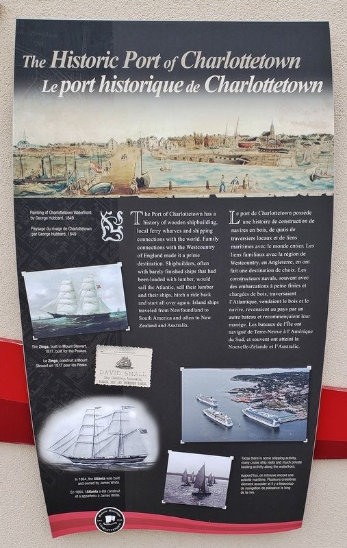
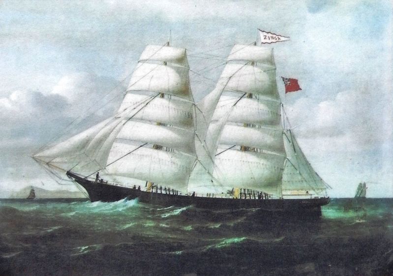
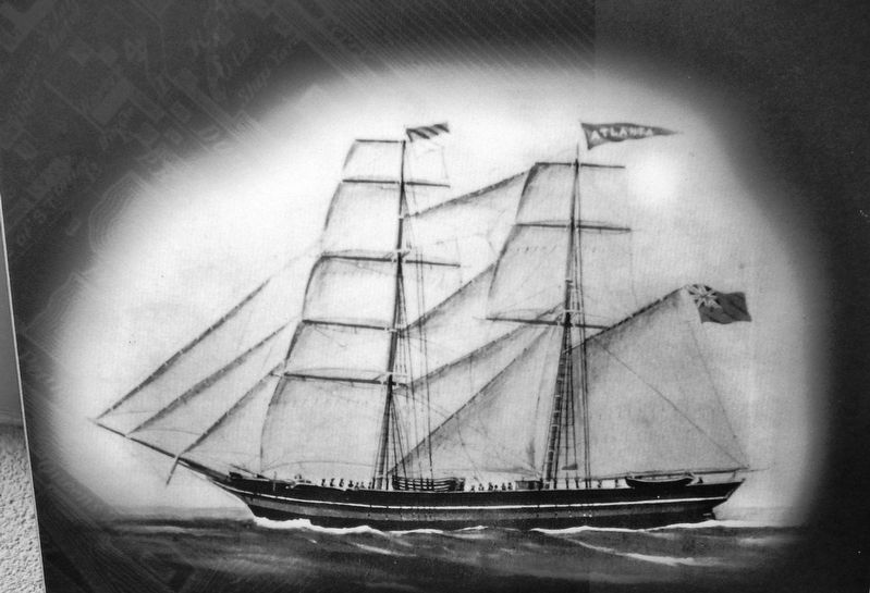
The Port of Charlottetown has a history of wooden shipbuilding, local ferry wharves and shipping connections with the world. Family connections with the Westcountry of England made it a prime destination. Shipbuilders, often with barely finished ships that had been loaded with lumber, would sail the Atlantic, sell their lumber and their ships, hitch a ride back and start all over again. Island ships traveled from Newfoundland to South America and often to New Zealand and Australia.
Le port de Charlottetown possède une histoire de construction de navires en bois, de quais de traversiers locaux et de liens maritimes avec le monde entier. Les liens familiaux avec la région de Westcountry, en Angleterre, en ont fait une destination de choix. Les constructeurs navals, souvent avec des embarcations à peine finies et chargées de bois, traversaient l'Atlantique, vendaient le bois et le navire, revenaient au pays par un autre bateau et recommençaient leur manège. Les bateaux de l'Île ont navigué de Terre-Neuve à l'Amérique du Sud, et souvent ont atteint la Nouvelle-Zélande et l'Australie.
Erected by Historic Charlottetown.
Topics. This historical marker is listed in these topic lists: Industry & Commerce • Waterways & Vessels.
Location. 46° 14.459′ N, 63° 6.874′ W. Marker is in Charlottetown, Prince Edward Island, in Queens County. Marker is at the intersection of Water Street (Prince Edward Island Route 1) and Grafton Street, on the left when traveling north on Water Street. Marker is located in the "Welcome to Charlottetown" plaza at the southwest corner of the intersection. Touch for map. Marker is in this post office area: Charlottetown PE C1A 1M1, Canada. Touch for directions.
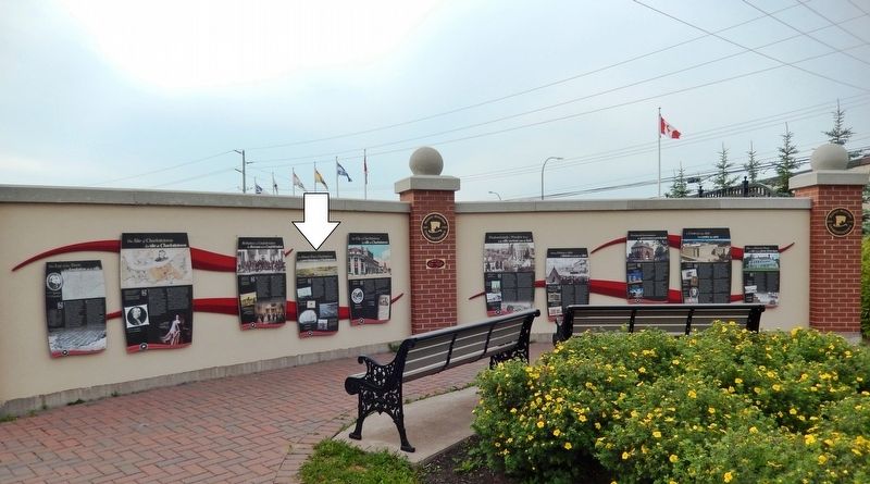
Other nearby markers. At least 8 other markers are within walking distance of this marker. Birthplace of Confederation (here, next to this marker); The City of Charlottetown (here, next to this marker); The Site of Charlottetown (here, next to this marker); Predominantly a Wooden Town (here, next to this marker); The Lay of the Town (here, next to this marker); Making History in 1864 (here, next to this marker); Provincial Governance (here, next to this marker); A Centre for the Arts (here, next to this marker). Touch for a list and map of all markers in Charlottetown.
Related markers. Click here for a list of markers that are related to this marker. Historic Charlottetown, Prince Edward Island

5. Marker detail: Cruise Ships
• • •
Aujourd'hui, on retrouve encore une activité maritime. Plusieurs croisières viennent accoster et il y a beaucoup de navigation de plaisance le long de la rive.
Credits. This page was last revised on May 17, 2020. It was originally submitted on May 13, 2020, by Cosmos Mariner of Cape Canaveral, Florida. This page has been viewed 181 times since then and 23 times this year. Photos: 1. submitted on May 15, 2020, by Cosmos Mariner of Cape Canaveral, Florida. 2, 3, 4, 5. submitted on May 16, 2020, by Cosmos Mariner of Cape Canaveral, Florida. 6. submitted on May 15, 2020, by Cosmos Mariner of Cape Canaveral, Florida.


