Near Bethpage in Sumner County, Tennessee — The American South (East South Central)
Sumner County / Trousdale County
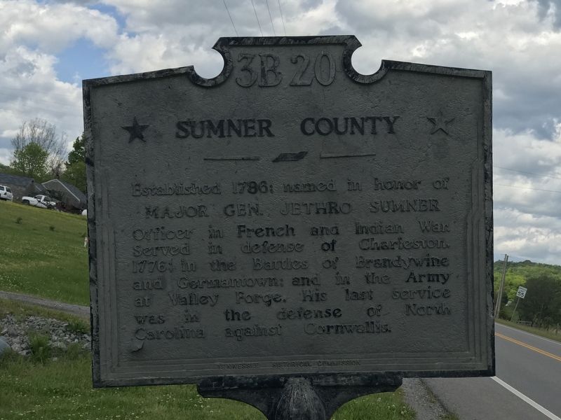
Sumner County
Established 1786; named in honor of Major Gen. Jethro Sumner Officer in French and Indian War. Served in defense of Charleston, 1776; in the Battles of Brandywine and Germantown; and in the Army at Valley Forge. His last service was in the defense of North Carolina against Cornwallis.
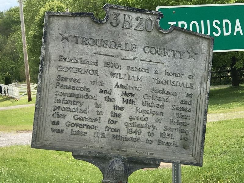
Trousdale County
Established 1870; named in honor of Governor William Trousdale Served with Andrew Jackson at Pensacola and New Orleans, and commanded the 14th United States Infantry in the Mexican War; promoted to the grade of Brigadier General for gallantry. Serving as Governor from 1849 to 1851, he was later U.S. Minister to Brazil.
Erected by Tennessee Historical Commission. (Marker Number 3B 20.)
Topics and series. This historical marker is listed in these topic lists: Political Subdivisions • War, Mexican-American • War, US Revolutionary • Wars, US Indian. In addition, it is included in the Former U.S. Presidents: #07 Andrew Jackson, and the Tennessee Historical Commission series lists. A significant historical year for this entry is 1786.
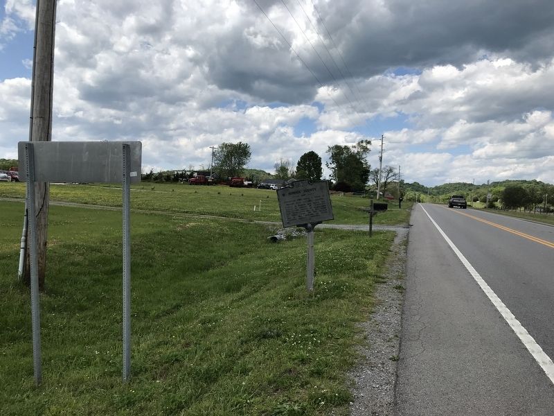
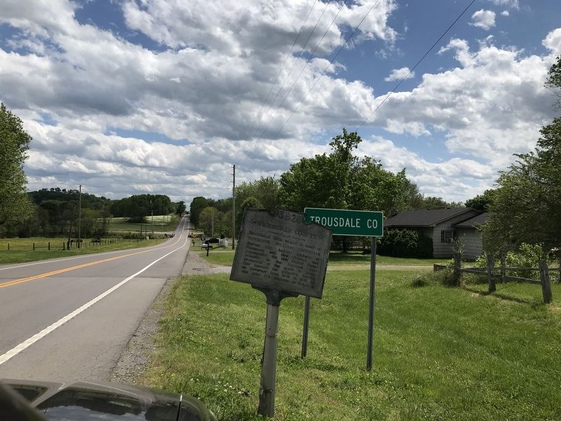
Location. 36° 27.182′ N, 86° 16.03′ W. Marker is near Bethpage, Tennessee, in Sumner County. Marker is on U.S. 231, 0.2 miles north of Chipman Road/Browning Branch Road (Tennessee Route 260), on the right when traveling south. Touch for map. Marker is at or near this postal address: 10705 US 231, Bethpage TN 37022, United States of America. Touch for directions.
Other nearby markers. At least 8 other markers are within 5 miles of this marker, measured as the crow flies. Jonathan Browning (approx. 3.4 miles away); Durham's Chapel Rosenwald School (approx. 3.8 miles away); Hugh Rogan (approx. 4˝ miles away); Morgan and Johnson (approx. 4.6 miles away); General William Hall (approx. 4.6 miles away); Hawthorne Hill (approx. 4.7 miles away); Isaac Bledsoe (approx. 4.7 miles away); Bledsoe's Fort, 1783-1806 (approx. 4.7 miles away). Touch for a list and map of all markers in Bethpage.
Credits. This page was last revised on May 14, 2020. It was originally submitted on May 13, 2020, by Duane and Tracy Marsteller of Murfreesboro, Tennessee. This page has been viewed 196 times since then and 22 times this year. Photos: 1, 2, 3, 4. submitted on May 13, 2020, by Duane and Tracy Marsteller of Murfreesboro, Tennessee. • J. Makali Bruton was the editor who published this page.


