Near San Marcos in Guadalupe County, Texas — The American South (West South Central)
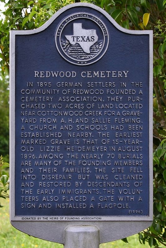
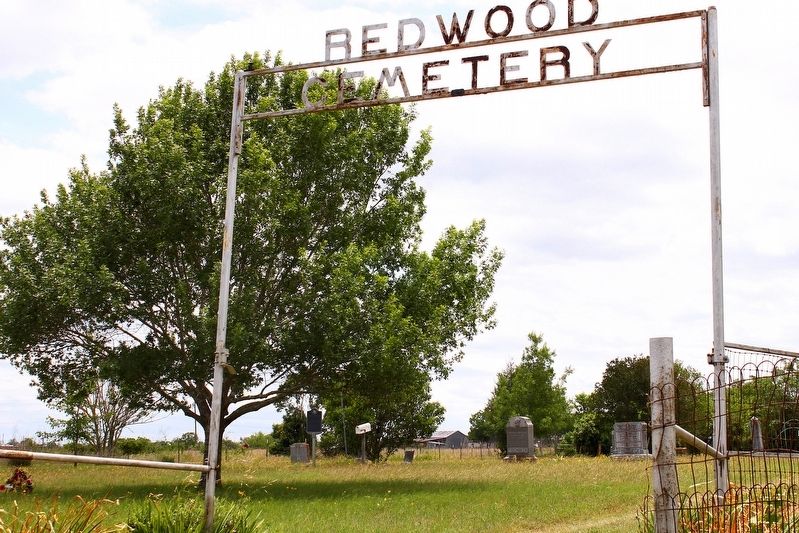
Redwood Cemetery
Erected 1996 by Texas Historical Commission. (Marker Number 9429.)
Topics. This historical marker is listed in this topic list: Cemeteries & Burial Sites. A significant historical month for this entry is August 1896.
Location. 29° 48.348′ N, 97° 54.455′ W. Marker is near San Marcos, Texas, in Guadalupe County. Marker is on Redwood Road, 0.4 miles south of Farm to Market Road 1978, on the right when traveling south. Touch for map. Marker is in this post office area: San Marcos TX 78666, United States of America. Touch for directions.
Other nearby markers. At least 8 other markers are within 4 miles of this marker, measured as the crow flies. Kings Highway (approx. 2.6 miles away); The Cattle Drives (approx. 2.9 miles away); Lt. Zebulon M. Pike (approx. 3˝ miles away); Don Felipe Roque de la Portilla (approx. 3˝ miles away); Site of the First Town of San Marcos (approx. 3˝ miles away); Charles Lewis McGehee Cabin (approx. 3˝ miles away); a different marker also named Kings Highway (approx. 3.6 miles away); Col. Ignacio Elizondo’s 1813 Campaign (approx. 3.7 miles away). Touch for a list and map of all markers in San Marcos.
Credits. This page was last revised on May 13, 2020. It was originally submitted on May 13, 2020, by Larry D. Moore of Del Valle, Texas. This page has been viewed 247 times since then and 31 times this year. Photos: 1, 2. submitted on May 13, 2020, by Larry D. Moore of Del Valle, Texas.

