Near Athens in Clark County, Missouri — The American Midwest (Upper Plains)
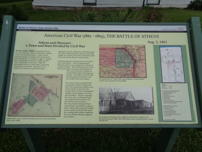
Athens and Missouri - a Town and State Divided by Civil War
American Civil War (1861-1865), The Battle of Athens
— Battle of Athens State Historic Site —
Inscription.
In the early 1860s, the prospect of war divided Missouri. Many of Missouri's settlers came from Southern states. Some owned enslaved people and many held strong views favoring slavery or "Southern rights." Despite this, a statewide convention held in March 1861 turned down secession. With the declaration of war in April 1861, remaining neutral was impossible. Missouri's Gov. Claiborne F. Jackson refused President Abraham Lincoln's directive to furnish troops. The state deteriorated into chaos as each side fought for control of the state. Decisions made then had lasting effects for generations.
Northeast Missouri bordered two free states - Iowa and Illinois - where Underground Railroad stations encouraged the enslaved to escape bondage. Tension between pro-Union and secessionists increased substantially in 1861 and soon led to violence as roving bands began attacking one another. Recruiters for both sides actively garnered members and soon battle lines were drawn.
Pro-Union forces roamed Clark County but settled in Athens by July. The location provided access to the rail line across the Des Moines River so they could gather supplies and continue to recruit new members. While occupying the town, they confiscated food and supplies from citizens and arrested several as traitors. Pro-secessionist Missouri State Guard forces assembled to oppose them. Both sides prepared to fight. Local residents joined both sides; the coming battle pitted neighbors and even family members against one another.
(captions)
Athens, Mo., was a small but bustling river port on the Des Moines River in the 1850s.
This partial view of "Lloyd's 1861 map of Missouri" shows Athens, Croton, Iowa, and Illinois (circle added).
The question of secession split neighbors and families in Athens, Mo., during the spring of 1861. Late 19th century view on Spring Street. Courtesy Kenneth Gray
Erected by Missouri State Parks.
Topics. This historical marker is listed in this topic list: War, US Civil. A significant historical date for this entry is August 5, 1861.
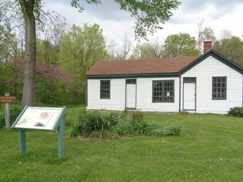
Location. 40° 35.111′ N, 91° 41.825′ W. Marker is near Athens, Missouri, in Clark County. Marker can be reached from the intersection of County Road 81 and County Highway CC. Marker is located in front of the Stone House, which is on the grounds of Battle of Athens State Historic Site. Touch for map. Marker is at or near this postal address: 12212 County Rd 81, Revere MO 63465, United States of America. Touch for directions.
Other nearby markers. At least 8 other markers are within walking distance of this marker. Missouri State Guard Defends Southern Rights (a few steps from this marker); The Cannons Roar (within shouting distance of this marker); The Athens General Store
(within shouting distance of this marker); Businesses in Athens, circa 1853-1860 (within shouting distance of this marker); Battle of Athens (about 300 feet away, measured in a direct line); Aftermath of the Battle (about 300 feet away); First Northeast Missouri Home Guard Defends the Union (about 400 feet away); The Benning House (about 400 feet away). Touch for a list and map of all markers in Athens.
Credits. This page was last revised on May 14, 2020. It was originally submitted on May 13, 2020, by Jason Voigt of Glen Carbon, Illinois. This page has been viewed 224 times since then and 16 times this year. Photos: 1, 2. submitted on May 13, 2020, by Jason Voigt of Glen Carbon, Illinois. • Bernard Fisher was the editor who published this page.

