Ogden in Weber County, Utah — The American Mountains (Southwest)
Ogden Canyon Toll Gate
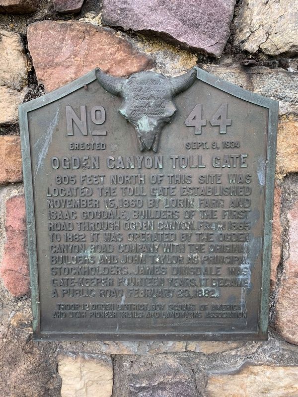
Photographed by Tyler Thorsted, May 2, 2020
1. Ogden Canyon Toll Gate Marker
Erected 1934 by Troop 12 Ogden District Boy Scouts of America and Utah Pioneer Trails and Landmarks Association. (Marker Number 44.)
Topics and series. This historical marker is listed in these topic lists: Roads & Vehicles • Settlements & Settlers. In addition, it is included in the Utah Pioneer Trails and Landmarks Association series list. A significant historical date for this entry is November 15, 1860.
Location. 41° 14.183′ N, 111° 55.744′ W. Marker is in Ogden, Utah, in Weber County. It can be reached from Valley Drive west of Canyon Road (Utah Route 39), on the left when traveling west. Touch for map. Marker is at or near this postal address: 1800 Valley Drive, Ogden UT 84401, United States of America. Touch for directions.

Regionally,
this page online
Other nearby markers. At least 8 other markers are within 2 miles of this marker, measured as the crow flies: The Old Mill (approx. 1.1 miles away); First Grist Mill in Weber County (approx. 1.1 miles away); Farr's Fort / The Mills / Lorin Farr (approx. 1.2 miles away); A Surviving Remnant From Ogden's Past (approx. 1.3 miles away); Malan Heights (approx. 1.6 miles away); John Shannon Houtze Home (approx. 1.7 miles away); Virginia Houtz Green/William H. Shearman Home (approx. 1.7 miles away); WWII Place of Remembrance (approx. 1.7 miles away). Touch for a list and map of all markers in Ogden.
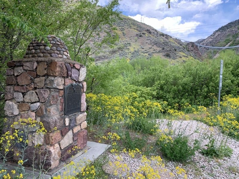
Photographed by Tyler Thorsted, May 2, 2020
2. Ogden Canyon Toll Gate Marker
Credits. This page was last revised on May 14, 2020. It was originally submitted on May 14, 2020, by Tyler Thorsted of Orem, Utah. This page has been viewed 1,351 times since then and 74 times this year. Photos: 1, 2. submitted on May 14, 2020, by Tyler Thorsted of Orem, Utah. • Syd Whittle was the editor who published this page.
