Near Agoura Hills in Los Angeles County, California — The American West (Pacific Coastal)
Paramount Ranch
How You Can Help
Santa Monica Mountains
— National Park Service —
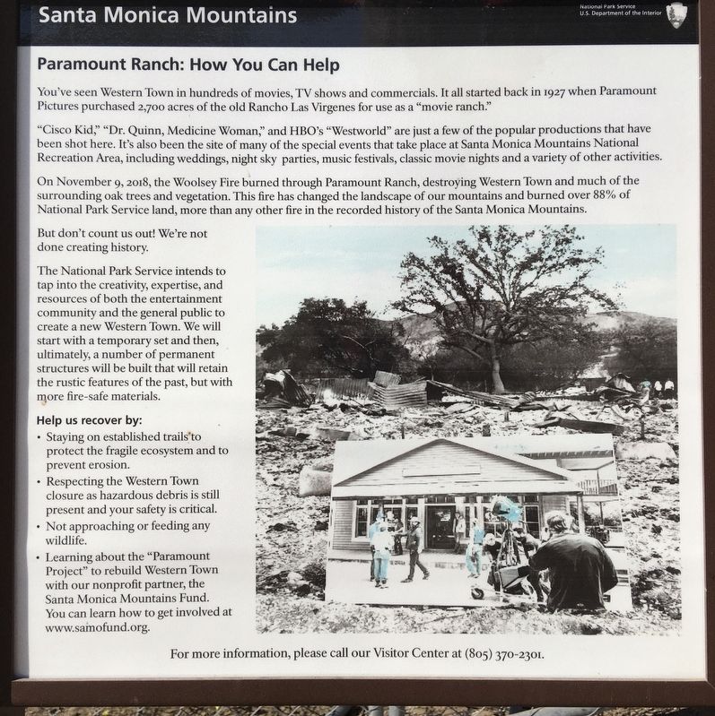
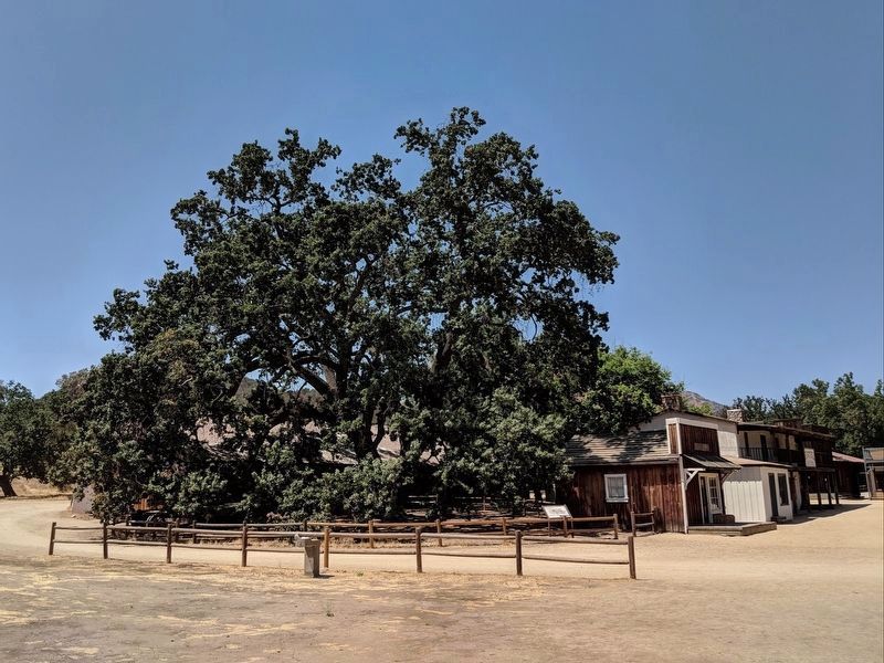
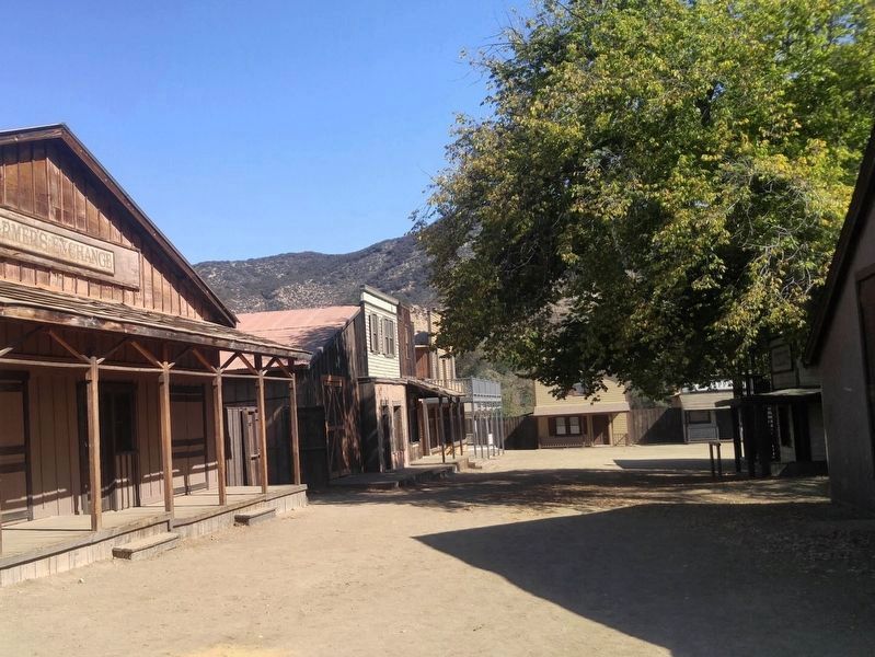
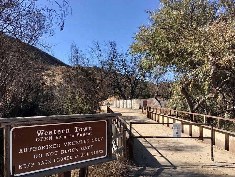
You've seen Western Town in hundreds of movies, TV shows and commercials. It all started back in 1927 when Paramount Pictures purchased 2,700 acres of the old Rancho Las Virgenes for use as a "movie ranch."
"Cisco Kid," "Dr. Quinn, Medicine Woman," and HBO's "Westworld" are just a few of the popular productions that have been shot here. It's also been the site of many of the special events that take place at Santa Monica Mountains National Recreation Area, including weddings, night sky parties, music festivals, classic movie nights and a variety of other activities.
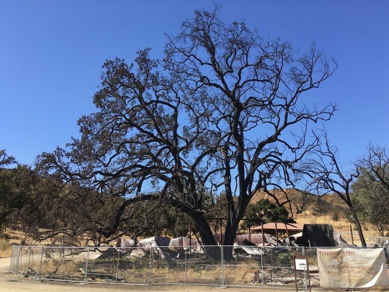
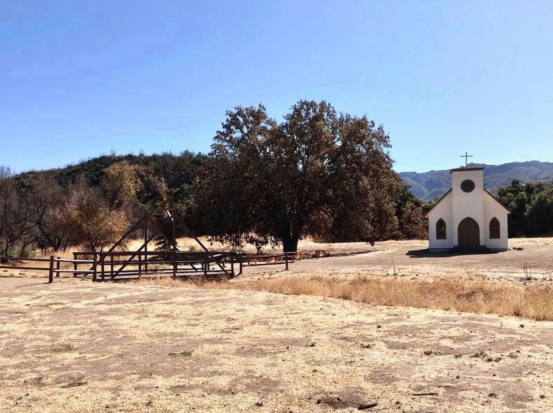
On November 9, 2018, the Woolsey Fire burned through Paramount Ranch, destroying Western Town and much of the surrounding oak trees and vegetation. This fire has changed the landscape of our mountains and burned over 88% of National Park Service land, more than any other fire in the recorded history of the Santa Monica Mountains.
But don't count us out! We're not done creating history.
The National Park Service intends to tap into the creativity, expertise, and resources of both the entertainment community and the general public to create a new Western Town. We will start with a temporary set and then, ultimately, a number of permanent structures will be built that will retain the rustic features of the past, but with more fire-safe materials.
Help us recover by:
Learning about the "Paramount Project" to rebuild Western Town with our nonprofit partner, the Santa Monica Mountains Fund. You can learn how to get involved at www.samofund.org.
Erected 2019 by National Park Service, U.S. Department of the Interior.
Topics. This historical marker is listed in these topic lists: Disasters • Entertainment • Parks & Recreational Areas. A significant historical date for this entry is November 9, 2018.
Location. 34° 6.918′ N, 118° 45.385′ W. Marker is near Agoura Hills, California, in Los Angeles County. Marker can be reached from Cornell Road, 0.4 miles north of Mulholland Highway, on the left when traveling north. Touch for map. Marker is at or near this postal address: 2903 Cornell Rd, Agoura Hills CA 91301, United States of America. Touch for directions.
Other nearby markers. At least 8 other markers are within 3 miles of this marker, measured as the crow flies. Reagan Ranch (approx. 0.6 miles away); Lake Enchanto (approx. 1.3 miles away); Peter Strauss Ranch (approx. 1.4 miles away); M*A*S*H (approx. 1˝ miles away); Century Ranch (approx. 2 miles away); Ladyface Mountain (approx. 2.2 miles away); Ballard Mountain (approx. 2.8 miles away); Reyes Adobe Historical Site (approx. 2.9 miles away). Touch for a list and map of all markers in Agoura Hills.
Also see . . . Santa Monica Mountains Fund
. Origanization homepage (Submitted on May 15, 2020.)
Credits. This page was last revised on December 26, 2023. It was originally submitted on May 15, 2020, by Craig Baker of Sylmar, California. This page has been viewed 491 times since then and 53 times this year. It was the Marker of the Week November 5, 2023. Photos: 1, 2, 3, 4, 5, 6. submitted on May 15, 2020, by Craig Baker of Sylmar, California. • Syd Whittle was the editor who published this page.
