
Santiago de Querétaro in Querétaro, Mexico — The Central Highlands (North America)
Vecindad del Agua Limpia
Photographed by J. Makali Bruton, May 9, 2020
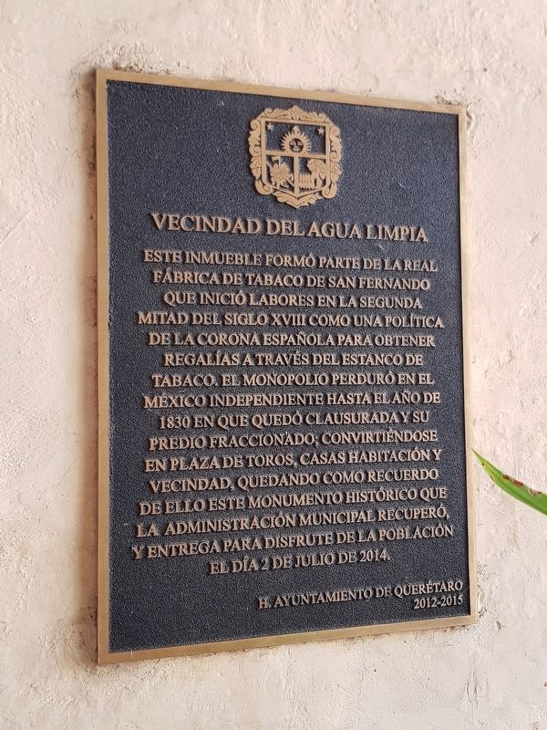
1. Vecindad del Agua Limpia Marker

Este inmueble formó parte de la Real Fábrica de Tabaco de San Fernando que inició labores en la segunda mitad del siglo XVIII como una política de la corona española para obtener regalías a través del estanco de tabaco. El monopolio perduró en el México independiente hasta el año de 1830 en que quedó clausurada y su predio fraccionado; convirtiéndose en plaza de toros, casas habitación y vecindad, quedando como recuerdo de ello este monumento histórico que la administración municipal recuperó, y entrega para disfrute de la población el día 2 de julio de 2014.
H. Ayuntamiento de Querétaro
2012-2015
Vecindad del Agua Limpia
(Clean Water Neighborhood)
This property was part of the San Fernando Royal Tobacco Factory that started work in the second half of the 18th century as a policy of the Spanish crown to obtain royalties through the tobacco trade. The monopoly lasted in independent Mexico until the year 1830, when it was closed and the property subdivided, eventually becoming a bullring, houses and a neighborhood. The memory of this historical monument has been recovered by this Municipal Administration and delivered for the enjoyment of the population on July 2, 2014.
Honorable Querétaro City Council
2012-2015
Erected 2014
this page online
Topics. This historical marker is listed in these topic lists: Colonial Era • Industry & Commerce. A significant historical date for this entry is July 2, 2014.
Location. 20° 35.531′ N, 100° 23.901′ W. Marker is in Santiago de Querétaro, Querétaro. It is on Ezequiel Montes, on the right when traveling south. Touch for map. Marker is at or near this postal address: 29 Ezequiel Montes, Santiago de Querétaro QUE 76000, Mexico. Touch for directions.

Regionally, this marker is in Central Mexico and in the Bajío. Globally, it is in North America, specifically in Mesoamerica, on the Ring of Fire, and in the Western Hemisphere. Historically, it finds itself in what was once New Spain, a Spanish colony, and the Aztec Empire.
Other nearby markers. At least 8 other markers are within walking distance of this marker: Birthplace of Manuel Montes Collantes (about 150 meters away, measured in a direct line); Temple and former Convent of the Carmelites (about 180 meters away); Fountain of the Capulines (about 210 meters away); Temple of San Felipe Neri (about 210 meters away); Benito Juárez in Querétaro
Photographed by J. Makali Bruton, May 9, 2020
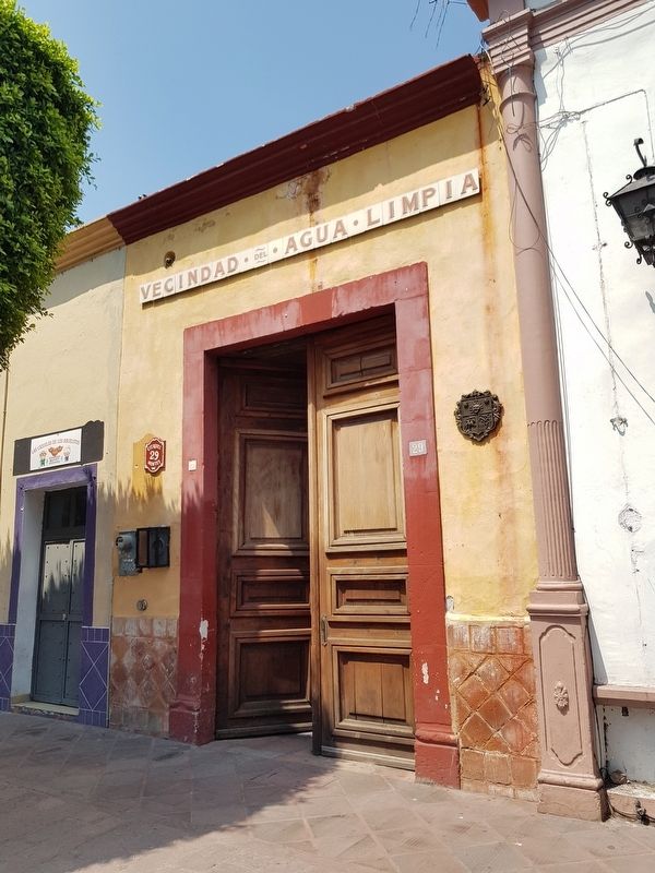
2. Vecindad del Agua Limpia Marker
The marker is right behind the open door to the entryway seen in this view. The property is now used as a cultural center.
Photographed by J. Makali Bruton, May 9, 2020
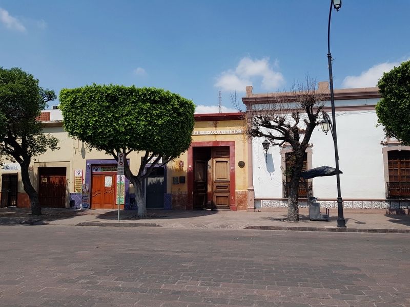
3. Vecindad del Agua Limpia entryway
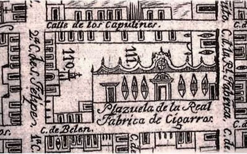
4. A portion of the Royal Tobacco Factory from Calado's 1796 map of Santiago de Querétaro
Credits. This page was last revised on May 16, 2020. It was originally submitted on May 15, 2020, by J. Makali Bruton of Washington, District of Columbia. This page has been viewed 813 times since then and 37 times this year. Photos: 1, 2, 3, 4. submitted on May 15, 2020, by J. Makali Bruton of Washington, District of Columbia.
