Theodore Roosevelt Island in Northwest Washington in Washington, District of Columbia — The American Northeast (Mid-Atlantic)
Rough and Ready
Theodore Roosevelt Island
— George Washington Memorial Parkway, National Park Service, U.S. Department of the Interior —
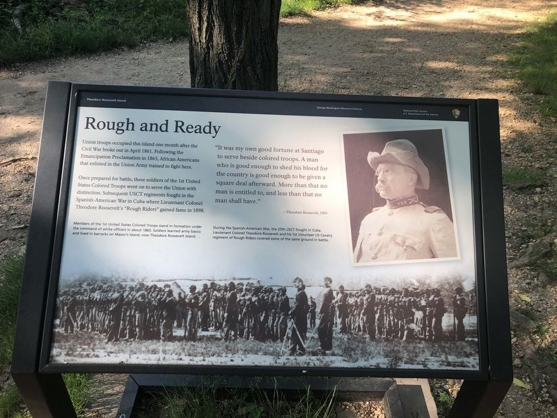
Union troops occupied this island one month after the Civil War broke out in April 1861. Following the Emancipation Proclamation in 1863, African Americans that enlisted in the Union Army trained to fight here.
Once prepared for battle, these soldiers of the 1st United States Colored Troops went on to serve the Union with distinction. Subsequent USCT regiments fought in the Spanish-American War in Cuba where Lieutenant Colonel Theodore Roosevelt's "Rough Riders" gained fame in 1898.
"It was my own good fortune at Santiago to serve beside colored troops. A man who is good enough to shed his blood for the country is good enough to be given a square deal afterward. More than that no man is entitled to, and less than that no man shall have."
—Theodore Roosevelt, 1903
[Captions:]
Members of the 1st United States Colored Troops stand in formation under the command of white officers in about 1863. Soldiers learned army basics and and lived in barracks on Mason's Island, now Theodore Roosevelt Island.
During the Spanish-American War, the 25th USCT fought in Cuba Lieutenant Colonel Theodore Roosevelt and his 1st Volunteer US Cavalry regiment of Rough Riders covered some of the same ground in battle.
Erected by National Park Service, U.S. Department of the Interior.
Topics and series. This historical marker is listed in these topic lists: African Americans • War, Spanish-American • War, US Civil. In addition, it is included in the Former U.S. Presidents: #26 Theodore Roosevelt series list. A significant historical month for this entry is April 1861.
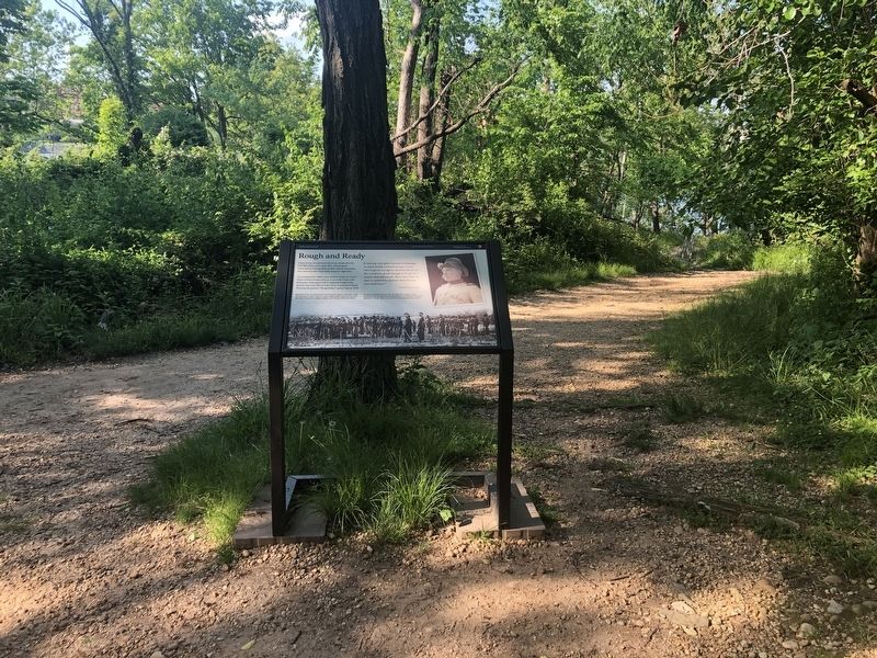
Location. 38° 53.964′ N, 77° 3.828′ W. Marker is in Northwest Washington in Washington, District of Columbia. It is on Theodore Roosevelt Island. Marker is at the intersection of Upland Trail and Swamp Trail, on the right when traveling north on Upland Trail. Touch for map. Marker is in this post office area: Washington DC 20007, United States of America. Touch for directions.
Other nearby markers. At least 8 other markers are within walking distance of this marker. Causeway (about 800 feet away, measured in a direct line); Theodore Roosevelt (approx. 0.2 miles away); Making the Memorial (approx. 0.2 miles away); From Seaport to National Park (approx. 0.2 miles away); Benjamin Banneker and Suter's Tavern (approx. ¼ mile away); World War I Memorial (approx. 0.3 miles away); Herring Highway (approx. 0.3 miles away); Force of Nature (approx. 0.3 miles away in Virginia). Touch for a list and map of all markers in Northwest Washington.
Credits. This page was last revised on January 30, 2023. It was originally submitted on May 15, 2020, by Devry Becker Jones of Washington, District of Columbia. This page has been viewed 388 times since then and 31 times this year. Photos: 1, 2. submitted on May 15, 2020, by Devry Becker Jones of Washington, District of Columbia.

