Lehi in Utah County, Utah — The American Mountains (Southwest)
Lehi Cemetery
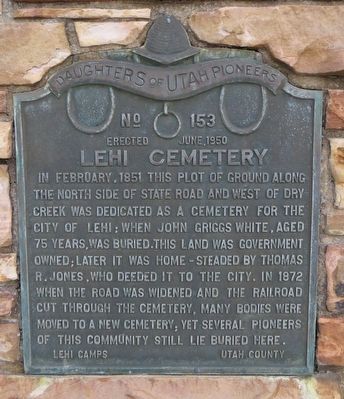
Photographed by Bill Kirchner, October 2, 2018
1. Lehi Cemetery Marker
Erected 1950 by Daughters of Utah Pioneers. (Marker Number 153.)
Topics and series. This historical marker is listed in this topic list: Cemeteries & Burial Sites. In addition, it is included in the Daughters of Utah Pioneers series list. A significant historical month for this entry is February 1851.
Location. 40° 23.946′ N, 111° 51.035′ W. Marker is in Lehi, Utah, in Utah County. It is on West State Street west of North Center Street, on the right when traveling west. Touch for map. Marker is in this post office area: Lehi UT 84043, United States of America. Touch for directions.

Regionally, this marker is in the Wasatch Front and in Greater
this page online
Other nearby markers. At least 8 other markers are within walking distance of this marker: Thomas R. Cutler Mansion (1900) (approx. ¼ mile away); Home of Pioneer James Kirkham (approx. 0.3 miles away); Utah Southern Railroad Depot (approx. 0.3 miles away); Utah Southern Railroad (approx. 0.3 miles away); Frank H. Eastmond Park (approx. 0.3 miles away); The Music Hall (approx. 0.3 miles away); Wines Park (approx. 0.4 miles away); John Y. Smith House (1903) (approx. 0.4 miles away). Touch for a list and map of all markers in Lehi.
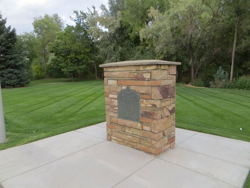
Photographed by Bill Kirchner, October 2, 2018
2. Lehi Cemetery Marker
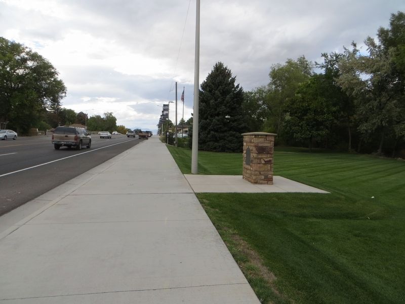
Photographed by Bill Kirchner, October 2, 2018
3. Lehi Cemetery Marker
Credits. This page was last revised on May 16, 2020. It was originally submitted on May 16, 2020, by Bill Kirchner of Tucson, Arizona. This page has been viewed 568 times since then and 44 times this year. Photos: 1, 2, 3. submitted on May 16, 2020, by Bill Kirchner of Tucson, Arizona.
