Quincy in Adams County, Illinois — The American Midwest (Great Lakes)
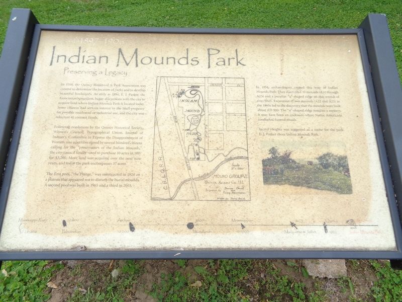
Indian Mounds Park
Preserving a Legacy
In 1888, the Quincy Boulevard & Park Association was created to determine the location of parks and to develop beautiful boulevards. As early as 1894, E.J. Parker, the Association's president, began discussions with the city to acquire land where Indian Mounds Park is located today. Some citizens had serious interest in the bluff property for possible residential or industrial use, and the city was reluctant to commit funds.
Following resolutions by the Quincy Historical Society, Women's Council, Typographical Union, Journal of Industry, Committee to Express the Disappointment of Women, and a petition signed by several hundred citizens calling for the "preservation of the Indian Mounds," the city council finally voted to purchase 10 acres in 1897 for $3,200. More land was acquired over the next nine years, and today the park encompasses 37 acres.
The first pool, "the Plunge," was constructed in 1924 on a plateau that appeared not to disturb the burial mounds. A second pool was built in 1965 and a third in 2003.
In 1934, archaeologists created this map of Indian Mounds Park. They discovered 10 mounds (A14 through A23) and a peculiar "u"-shaped ridge on this stretch of river bluff. Excavation of two mounds (A22 and A23) in the 1960s led to the discovery that the mounds were built about AD 900. The "u"-shaped ridge remains a mystery. It may have been an enclosure where Native Americans conducted funeral rituals.
Sacred Heights was suggested as a name for the park. E.J. Parker chose Indian Mounds Park.
Topics. This historical marker is listed in these topic lists: Native Americans • Parks & Recreational Areas. A significant historical year for this entry is 1888.
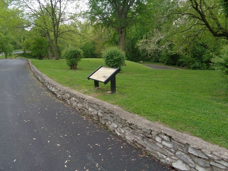
Location. 39° 54.919′ N, 91° 24.534′ W. Marker is in Quincy, Illinois, in Adams County. Marker is on Indian Mounds Park, 0.1 miles west of South 5th Street, on the right when traveling east. Marker is on the grounds of Indian Mounds Park. Touch for map. Marker is at or near this postal address: 1500 S 5th St, Quincy IL 62301, United States of America. Touch for directions.
Other nearby markers. At least 8 other markers are within walking distance of this marker. Quincy (a few steps from this marker); Paleoindian (within shouting distance of this marker); Marquette & Jolliet (about 300 feet away, measured in a direct line); Archaic (about 300 feet away); Mississippian (about 300 feet away); Woodland (about 500 feet away); A Victorian Cemetery (approx. ¼ mile away); John Wood 1798-1880 (approx. ¼ mile away). Touch for a list and map of all markers in Quincy.
More about this marker. Marker is one of eight markers found at Indian Mounds Park, which all form a timeline along the road at the northern part of the park.
Credits. This page was last revised on May 16, 2020. It was originally submitted on May 16, 2020, by Jason Voigt of Glen Carbon, Illinois. This page has been viewed 441 times since then and 102 times this year. Photos: 1, 2. submitted on May 16, 2020, by Jason Voigt of Glen Carbon, Illinois. • Devry Becker Jones was the editor who published this page.

