Happy in Swisher County, Texas — The American South (West South Central)
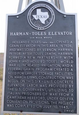
Harman-Toles Elevator
(¼ mile west)
Photographed by Bill Kirchner, November 18, 2015
1. Harman-Toles Elevator Marker
Erected 1974 by Texas Historical Commission. (Marker Number 2383.)
Topics. This historical marker is listed in this topic list: Agriculture. A significant historical date for this entry is March 1, 1945.
Location. 34° 44.892′ N, 101° 51.219′ W. Marker is in Happy, Texas, in Swisher County. It is on U.S. 87 south of West Happy West Road, on the right when traveling south. Marker is attached to a small windmill on the west side of the road. Touch for map. Marker is in this post office area: Happy TX 79042, United States of America. Touch for directions.

Regionally,
this page online
Other nearby markers. At least 7 other markers are within 15 miles of this marker, measured as the crow flies: Site of Old Happy (here, next to this marker); First United Methodist Church (approx. 0.3 miles away); Happy Public Schools (approx. half a mile away); Happy Cemetery (approx. 1.2 miles away); Dreamland Cemetery (approx. 13.9 miles away); C. Stuart Johnston (approx. 13.9 miles away); Quanah Parker Trail (approx. 14.8 miles away).
Photographed by Bill Kirchner, November 18, 2015
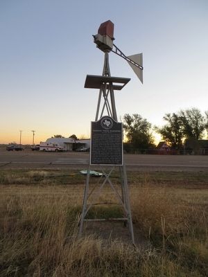
2. Harman-Toles Elevator Marker

Photographed by Bill Kirchner, November 18, 2015
3. Harman-Toles Elevator
Photographed by Duane Hall, July 15, 2017
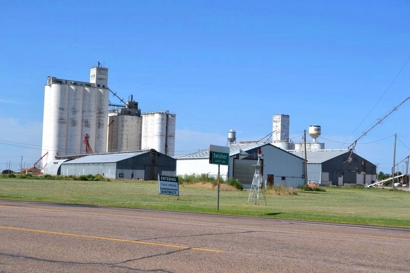
4. View of Marker from US 87
The marker is attached to the small windmill.
Credits. This page was last revised on May 18, 2020. It was originally submitted on December 8, 2015, by Bill Kirchner of Tucson, Arizona. This page has been viewed 992 times since then and 66 times this year. Last updated on May 18, 2020, by Allen Lowrey of Amarillo, Texas. Photos: 1, 2, 3. submitted on December 8, 2015, by Bill Kirchner of Tucson, Arizona. 4. submitted on July 24, 2017, by Duane Hall of Abilene, Texas. • J. Makali Bruton was the editor who published this page.
