Near Sparta in White County, Tennessee — The American South (East South Central)
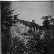
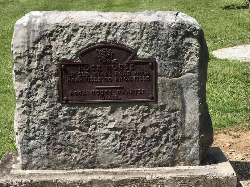
The Rock House
Fighting on the Wilderness Trail Road
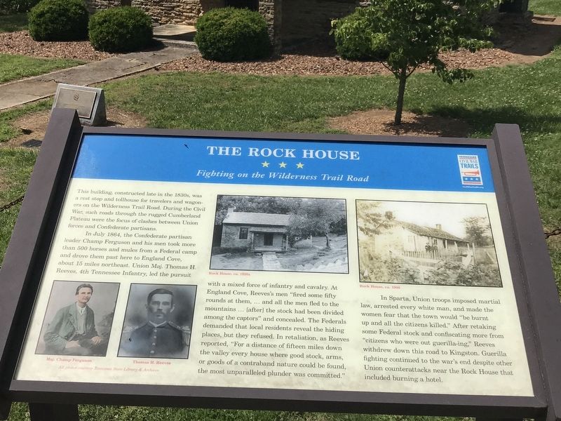
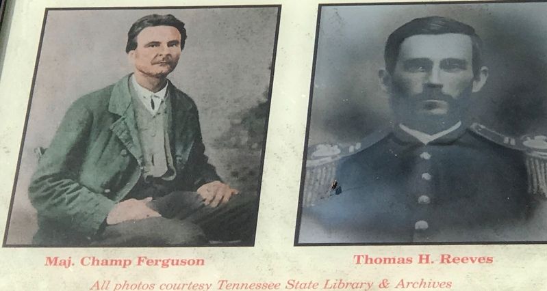
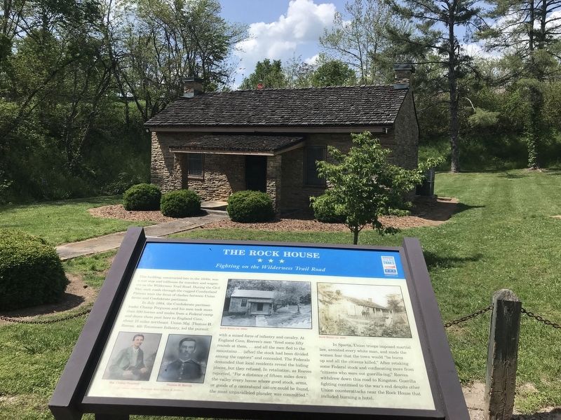
In July 1864, the Confederate partisan leader Champ Ferguson and his men took more than 500 horses and mules from a Federal camp and drove them past here to England Cove, about 15 miles northeast. Union Maj. Thomas H. Reeves, 4th Tennessee Infantry, led the pursuit with a mixed force of infantry and cavalry. At England Cove, Reeves's men “fired some fifty rounds at them, ... and all the men fled to the mountains ... [after] the stock had been divided among the captors” and concealed. The Federals demanded that local residents reveal the hiding places, but they refused. In retaliation, as Reeves reported, “For a distance of fifteen miles down the valley every house where good stock, arms, or goods of a contraband nature could be found, the most unparalleled plunder was committed."
In Sparta, Union troops imposed martial law, arrested every white man, and made the women fear that the town would "be burnt up and all the citizens killed.” After retaking some Federal stock and confiscating more from "citizens who were out guerilla-ing,” Reeves withdrew down this road to Kingston. Guerilla fighting continued to the war's end despite other Union counterattacks near the Rock House that included burning a hotel.
Erected by Tennessee Civil War Trails.
Topics and series. This historical marker is listed in these topic lists: Roads & Vehicles • War, US Civil. In addition, it is included in the Tennessee Civil War Trails series list. A significant historical month for this entry is July 1864.
Location. 35° 55.207′ N, 85° 24.227′ W. Marker is near Sparta, Tennessee, in White County. Marker can be reached from the intersection of Country Club Road (County Route 2200) and Bockman Way (U.S. 70), on the left when traveling south. Marker is located in the parking area in front of the house. Touch for map. Marker is at or near this postal address: 3663 Country Club Road, Sparta TN 38583, United States of America. Touch for directions.
Other nearby markers. At least 8 other markers are within 4 miles of this marker, measured as the crow flies. A different marker also named The Rock House (a few steps from this marker); a different marker also named Rock House (a few steps from this marker); a different marker also named The Rock House (a few steps from this marker); George Gibbs Dibrell (approx. 3 miles away); Lester Flatt (approx. 3 miles away); Rotary Club of Sparta Veterans Park (approx. 3.4 miles away); a different marker also named Rotary Club of Sparta Veterans Park (approx. 3.4 miles away); a different marker also named Rotary Club of Sparta Veterans Park (approx. 3.4 miles away). Touch for a list and map of all markers in Sparta.
Credits. This page was last revised on June 15, 2020. It was originally submitted on May 18, 2020, by Duane and Tracy Marsteller of Murfreesboro, Tennessee. This page has been viewed 321 times since then and 23 times this year. Photos: 1, 2, 3, 4, 5. submitted on May 18, 2020, by Duane and Tracy Marsteller of Murfreesboro, Tennessee. 6. submitted on June 14, 2020, by Duane and Tracy Marsteller of Murfreesboro, Tennessee. • Bernard Fisher was the editor who published this page.
