Hannibal in Marion County, Missouri — The American Midwest (Upper Plains)
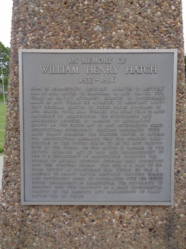
In Memory of William Henry Hatch
1833-1896
Photographed by Jason Voigt, May 10, 2020
1. In Memory of William Henry Hatch Marker
this page online
Topics. This historical marker is listed in this topic list: Agriculture. A significant historical year for this entry is 1854.
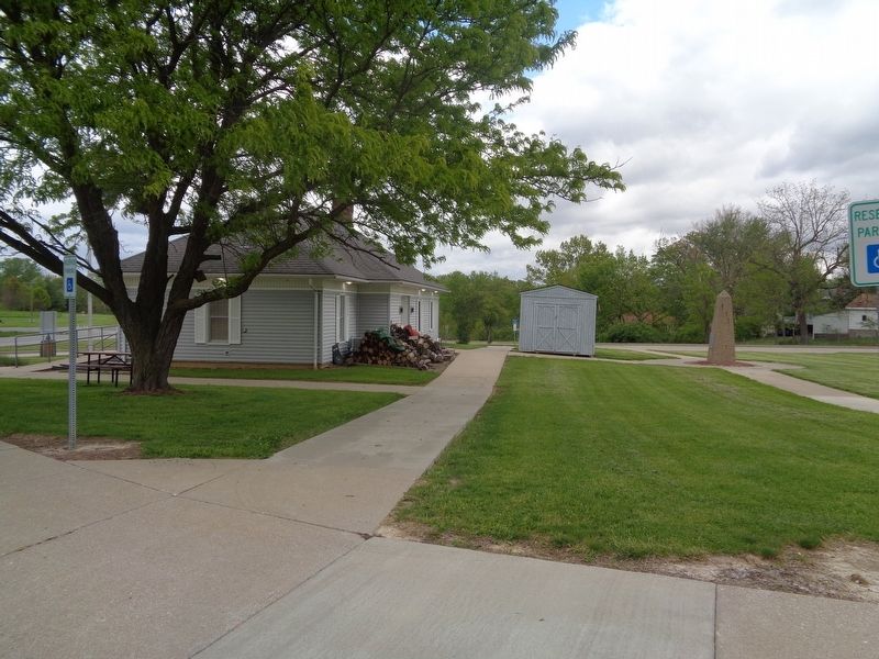
Location. 39° 41.475′ N, 91° 23.944′ W. Marker is in Hannibal, Missouri, in Marion County. It can be reached from McMasters Avenue (U.S. 61) north of Westlover Road. Marker is behind the Hannibal Welcome Center. Touch for map. Marker is at or near this postal address: 1700 McMasters Avenue, Hannibal MO 63401, United States of America. Touch for directions.

Regionally, this marker is in Mark Twain Country. It is also in the American Midwest, in the Lewis & Clark Corridor, in the Corn Belt, and in the Great River Road Region. Globally, it is in North America, the Western Hemisphere, the Western World, and the Anglosphere. Historically, it finds itself in what was once the territory of the Mississippian Culture, the Louisiana Purchase, and the Antebellum South.
Other nearby markers. At least 8 other markers are within 3 miles of this marker, measured as the crow flies: Joseph Douglas (approx. 2.2 miles away); Eighth and Center Sts. Baptist Church (approx. 2.2 miles away);
Photographed by Jason Voigt, May 10, 2020
2. In Memory of William Henry Hatch Marker
Behind the Hannibal Welcome Center
Also see . . . William Henry Hatch on Wikipedia. (Submitted on May 19, 2020, by Jason Voigt of Glen Carbon, Illinois.)
Credits. This page was last revised on May 20, 2020. It was originally submitted on May 19, 2020, by Jason Voigt of Glen Carbon, Illinois. This page has been viewed 303 times since then and 16 times this year. Photos: 1, 2. submitted on May 19, 2020, by Jason Voigt of Glen Carbon, Illinois. • Devry Becker Jones was the editor who published this page.
