Santiago de Querétaro in Querétaro, Mexico — The Central Highlands (North America)
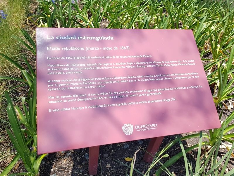
The Strangled City
El sitio republicano (marzo - mayo de 1867)
En enero de 1867, Napoleon Ill ordenó el retiro de las tropas francesas de México.
Maximiliano de Habsburgo, después de negarse a claudicar, llegó a Querétaro en febrero de ese mismo año. A la ciudad arribaron también sus principales jefes militares: Leonardo Márquez, Santiago Vidaurri, Tomás Mejía, Miguel Miramón, Severo del Castillo, entre otros.
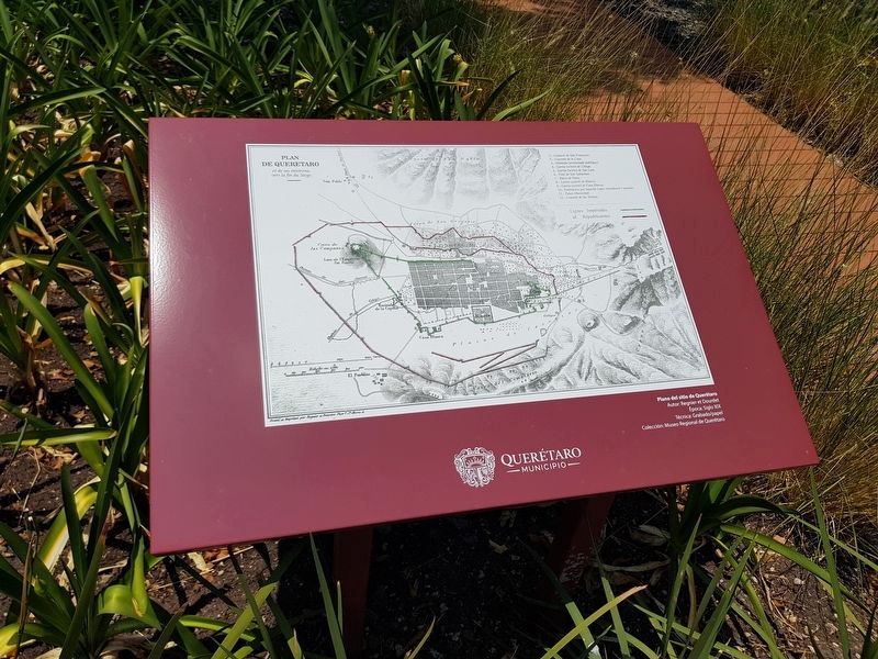
Al tener noticias de la llegada de Maximiliano a Querétaro, Benito Juárez ordenó el envío de seis mil hombres comandados por el general Mariano Escobedo. Los republicanos sabían que en la ciudad había pocos víveres y armamento, por lo que optaron por establecer un cerco militar.
Más de setenta días duró el cerco militar. En ese período escasearon el agua, los alimentos, las municiones y el forraje. La situación se torno desesperante. Para el mes de mayo, el hambre ya era generalizada.
El sitio militar hizo que la ciudad quedara estrangulada, como lo señaló el periódico El Siglo XIX.
The Strangled City
The Republican Siege (March - May 1867)
In January 1867, Napoleon III ordered the withdrawal of French troops from Mexico.
Maximiliano de Habsburgo, after refusing to surrender, arrived in Querétaro in February of the same year. His main military leaders also arrived in the city: Leonardo Márquez, Santiago Vidaurri, Tomás Mejía, Miguel Miramón, Severo del Castillo, among others.
Upon learning of Maximiliano's arrival in Querétaro, Benito Juárez ordered six thousand men there commanded by General Mariano Escobedo. Republicans knew that the city had few supplies and weapons, so they chose to establish a military siege.
The military siege lasted more than seventy days. During this period water, food, ammunition and fodder were scarce. The situation became desperate. By May, hunger was already widespread.
The military siege caused the city to be strangled, as noted by the newspaper El Siglo XIX.
Erected 2020 by Municipio de Querétaro.
Topics. This historical marker is listed in this topic list: Wars, Non-US. A significant historical month for this entry is January 1867.
Location. 20° 35.996′ N, 100° 23.054′ W. Marker is in Santiago de Querétaro, Querétaro. Marker is on Calle Damián Carmona south of Avenida Universidad, on the right when traveling south
. Touch for map. Marker is in this post office area: Santiago de Querétaro QUE 76027, Mexico. Touch for directions.
Other nearby markers. At least 8 other markers are within walking distance of this marker. Damián Carmona (a few steps from this marker); The Ravages of War (a few steps from this marker); Republican Triumph: May 15, 1867 (within shouting distance of this marker); The War's Toll (within shouting distance of this marker); The Cosío Waterway (approx. 0.3 kilometers away); Fountain of Garmilla (approx. half a kilometer away); El Mexicano Fountain (approx. 0.6 kilometers away); Fountain of Cantoya (approx. 0.6 kilometers away). Touch for a list and map of all markers in Santiago de Querétaro.
Credits. This page was last revised on May 24, 2020. It was originally submitted on May 19, 2020, by J. Makali Bruton of Accra, Ghana. This page has been viewed 68 times since then and 4 times this year. Photos: 1, 2, 3. submitted on May 19, 2020, by J. Makali Bruton of Accra, Ghana.


