Near Cherokee in Swain County, North Carolina — The American South (South Atlantic)
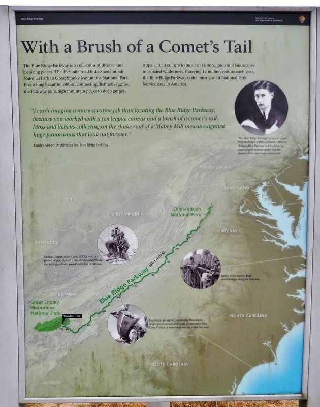
With a Brush of a Comet's Tail
Blue Ridge Parkway
"I can't imagine a more creative job than locating the Blue Ridge Parkway, because you worked with a ten league canvas and a brush of a comet's tail. Moss and lichens collecting on the shake roof of a Mabry Mill measure against huge panoramas that look out forever."
—Stanley Abbott, Architect of the Blue Ridge Parkway
Civilian Conservation Corps (CCC) workers graded slopes, planted trees, shrubs, and grasses, and built guardrails, guard walls, and overlooks.
Italian stone masons built many bridges along the Parkway.
In order to preserve Grandfather Mountain’s fragile environment, engineers designed the Linn Cove Viaduct, a suspended section of the Parkway.
Erected by National Park Service, U.S. Department of the Interior.
Topics and series. This historical marker is listed in these topic lists: Charity & Public Work • Parks & Recreational Areas • Roads & Vehicles. In addition, it is included in the Blue Ridge Parkway, and the Civilian Conservation Corps (CCC) series lists.
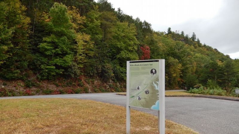
Location. 35° 31.115′ N, 83° 17.311′ W. Marker is near Cherokee, North Carolina, in Swain County. Marker is on Blue Ridge Parkway (at milepost 467.9), 1.2 miles north of U.S. 441, on the left when traveling north. Marker is mounted on a triangular kiosk located at the Blue Ridge Parkway Raven Fork Overlook. Touch for map. Marker is in this post office area: Cherokee NC 28719, United States of America. Touch for directions.
Other nearby markers. At least 8 other markers are within walking distance of this marker. Cherokee Homeland (here, next to this marker); Hogs (approx. one mile away); Blacksmith Shop (approx. one mile away); Mountain Farm Museum (approx. one mile away); Corn Cribs (approx. one mile away); Sorghum Cane (approx. one mile away); Sorghum Mill and Furnace (approx. one mile away); Broomcorn (approx. one mile away). Touch for a list and map of all markers in Cherokee.
Also see . . . Stanley Abbott
. When he was appointed to oversee the creation of the Blue Ridge Parkway, Abbott was already well-known in the small circle of landscape architect professionals. He gave landscape work his highest priority when prioritizing the maintenance projects of the New Deal Civilian Conservation Corps camp workers. Abbott found in Harold Ickes and others associated with the parkway design an opportunity to extend his vision of an environmentally sensitive design plan that would preserve the cultural history found along the parkway route. (Submitted on May 24, 2020, by Cosmos Mariner of Cape Canaveral, Florida.)
Credits. This page was last revised on May 24, 2020. It was originally submitted on May 21, 2020, by Cosmos Mariner of Cape Canaveral, Florida. This page has been viewed 176 times since then and 12 times this year. Photos: 1. submitted on May 23, 2020, by Cosmos Mariner of Cape Canaveral, Florida. 2. submitted on May 24, 2020, by Cosmos Mariner of Cape Canaveral, Florida. 3. submitted on May 23, 2020, by Cosmos Mariner of Cape Canaveral, Florida.


