Franklin Township near McKnightstown in Adams County, Pennsylvania — The American Northeast (Mid-Atlantic)
Highway Enterprise
Lincoln Highway Heritage Corridor
Photographed by Larry Gertner, January 1, 2004
1. Highway Enterprise wayside
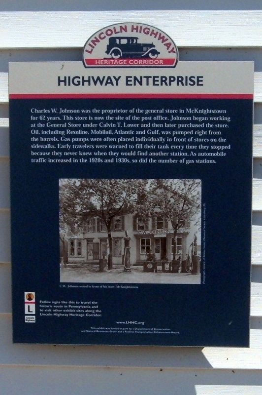
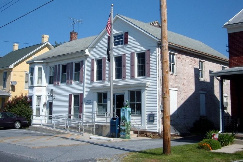
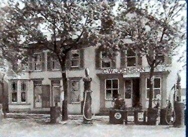
Charles W. Johnson was the proprietor of the general store in McKnightstown for 62 years. This store is now the site of the post office. Johnson began working at the General Store under Calvin T. Lower and then later purchased the store. Oil, including Revoline, Mobiloil, Atlantic and Gulf, was pumped right from the barrels. Gas pumps were often placed individually in front of stores on the sidewalks. Early travelers were warned to fill their tank every time they stopped because they never knew when they would find another station. As automobile traffic increased in the 1920s and 1930s, so did the number of gas stations.
Erected by Lincoln Highway Heritage Corridor.
Topics and series. This historical marker is listed in these topic lists: Industry & Commerce • Roads & Vehicles. In addition, it is included in the Lincoln Highway series list.
Location. 39° 52.25′ N, 77° 19.635′ W. Marker is near McKnightstown, Pennsylvania, in Adams County. It is in Franklin Township. It is on Old U.S. 30 east of Pine Valley Road, on the right when traveling east. Touch for map. Marker is at or near this postal address: 247 Old Rte 30, Biglerville PA 17307, United States of America. Touch for directions.

Regionally, this marker is in South-Central Pennsylvania. It is also in the American Northeast, in the Mid-Atlantic, in Appalachia, and specifically in Northern Appalachia. Globally, it is in North America, the Western Hemisphere, the Western World, and the Anglosphere. Historically, it finds itself in what was once the Haudenosaunee (Iroquois) Confederacy and also one of the original Thirteen Colonies.
Other nearby markers. At least 8 other markers are within 2 miles of this marker, measured as the crow flies: McKnightstown (approx. 0.2 miles away); a
this page online
Also see . . . Lincoln Highway. Wikipedia entry. (Submitted on May 22, 2020, by Larry Gertner of New York, New York.)
Photographed by Larry Gertner, January 1, 2004
2. Highway Enterprise wayside
The Post Office in McKnightstown PA. The wayside is to the right.
Photographed by Unknown, unknown
3. Inset
C.W. Johnson outside his store
Photographed by Larry Gertner, January 1, 2004
4. Highway Enterprise Art
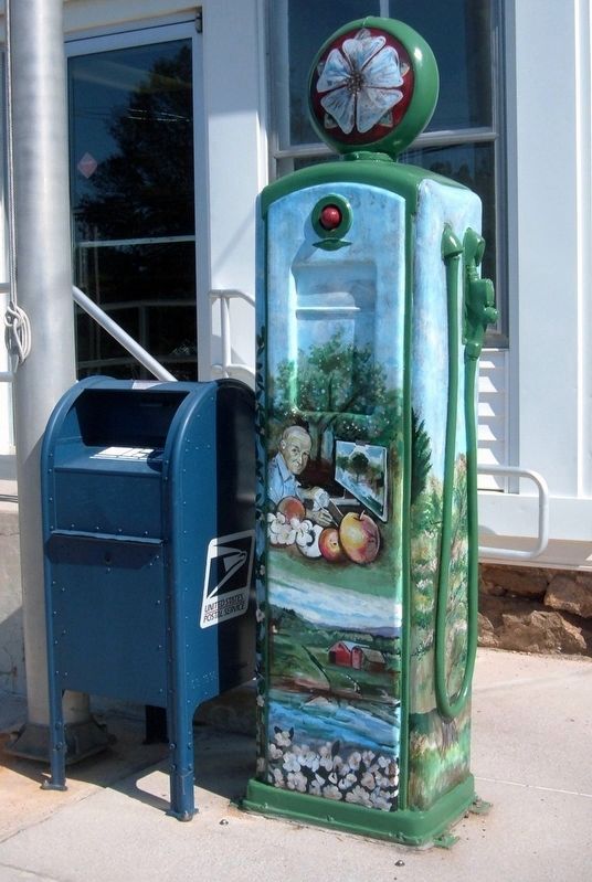
The McKnightstown gas pump.
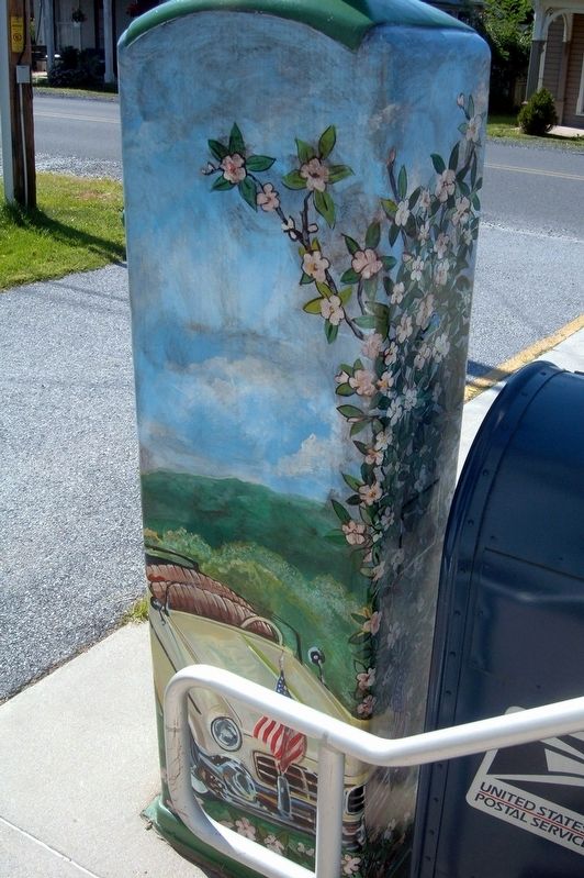
Photographed by Larry Gertner, January 1, 2004
5. Highway Enterprise Art
The McKnightstown gas pump.
Credits. This page was last revised on August 4, 2024. It was originally submitted on May 22, 2020, by Larry Gertner of New York, New York. This page has been viewed 604 times since then and 24 times this year. Photos: 1, 2, 3, 4, 5. submitted on May 22, 2020, by Larry Gertner of New York, New York.
